| Miles from Springer | Features | Elevation |
|---|---|---|
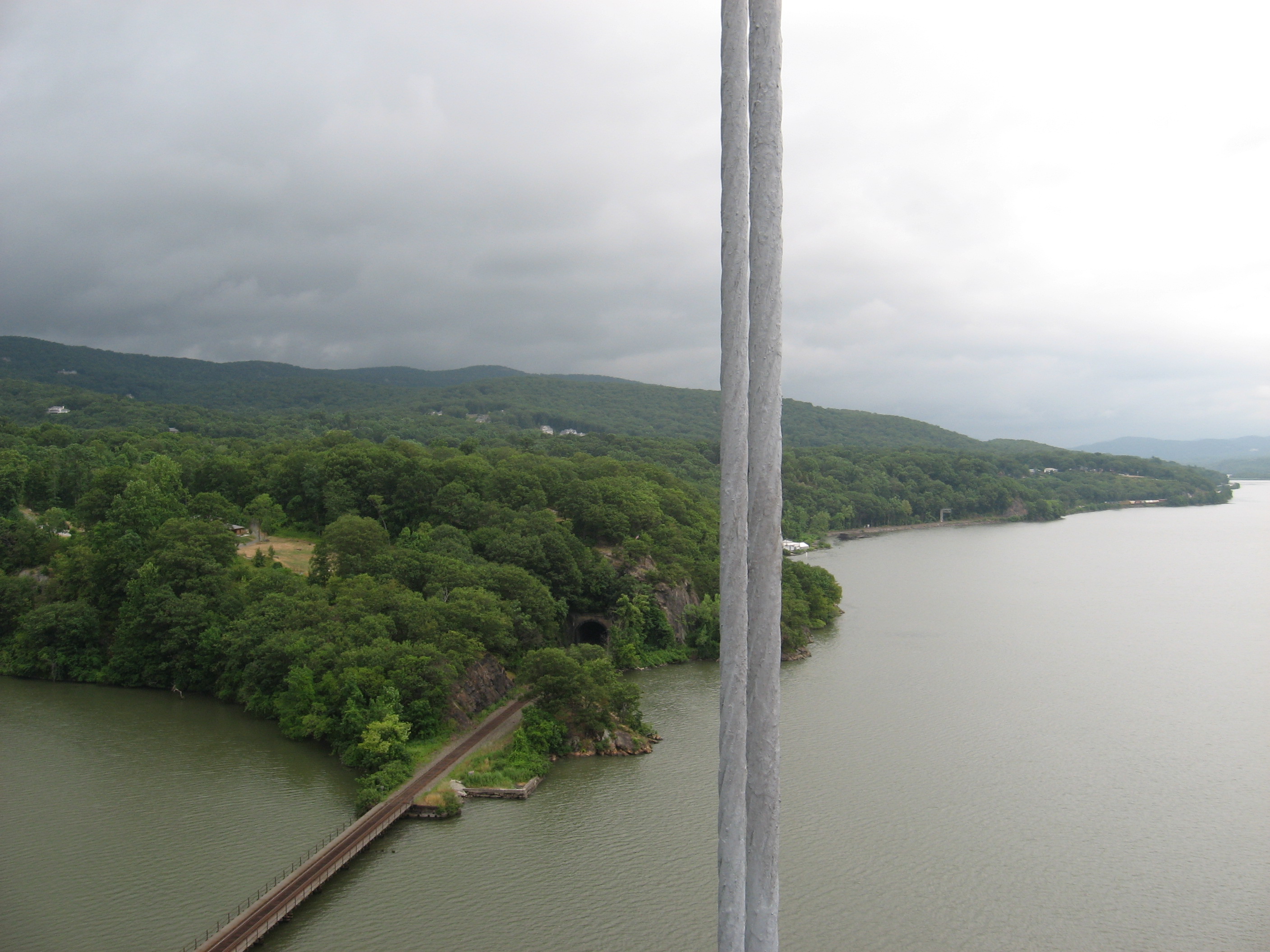
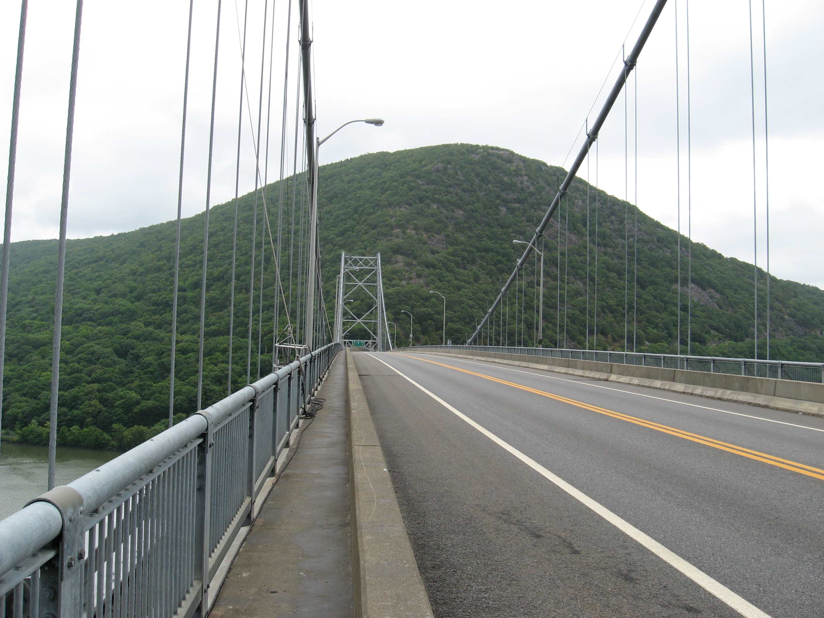
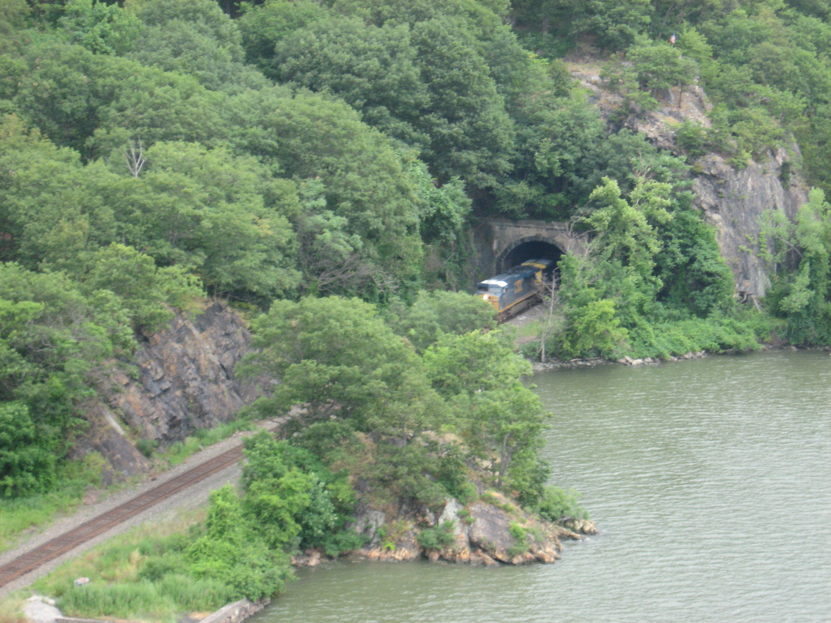
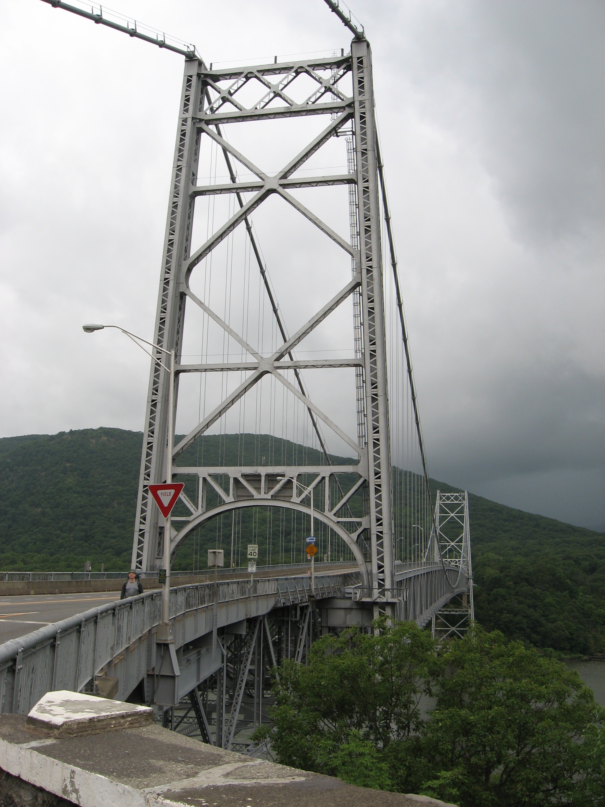
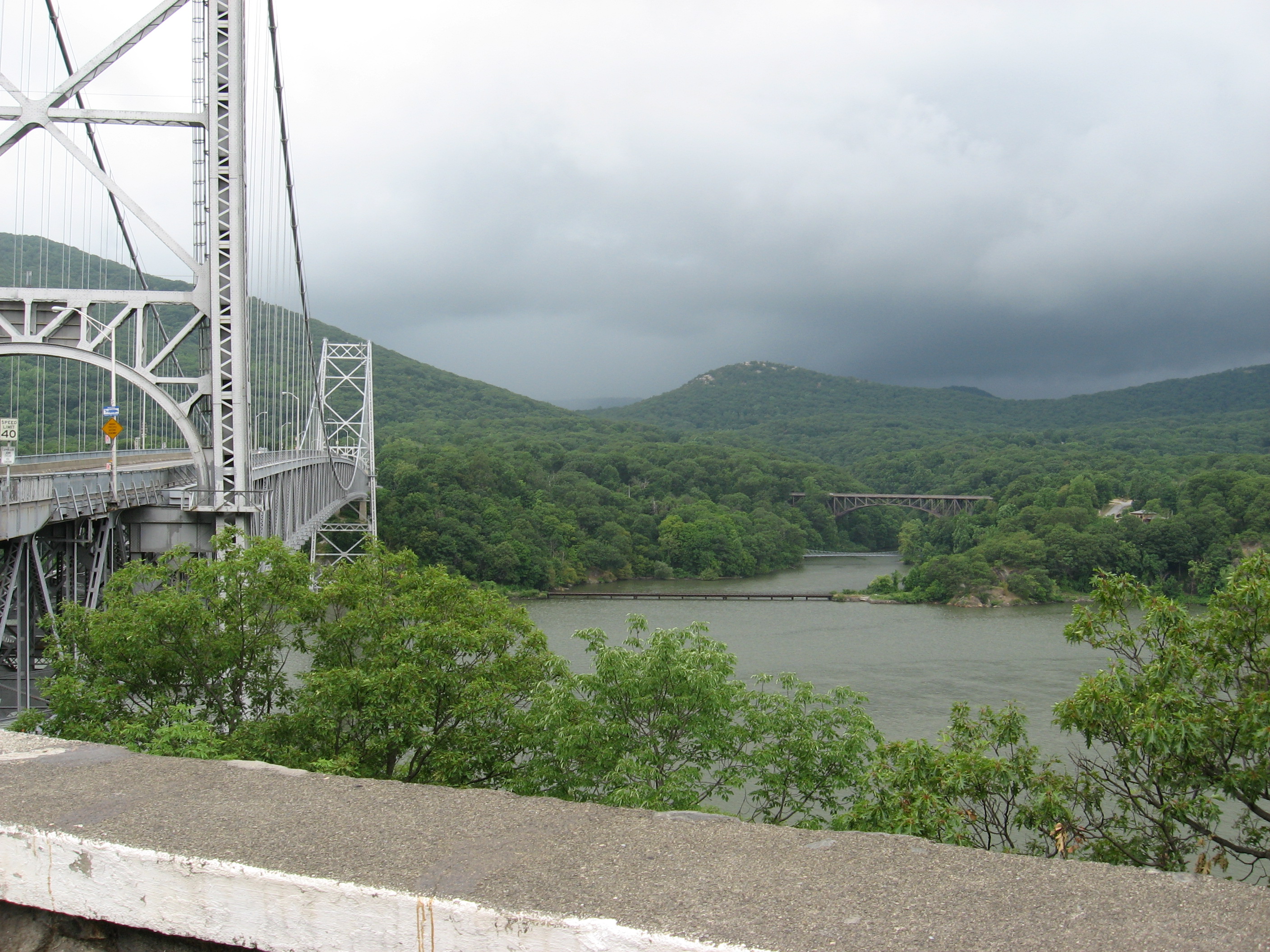
| 1403.9 | N.Y. 9D (230') | 230 |
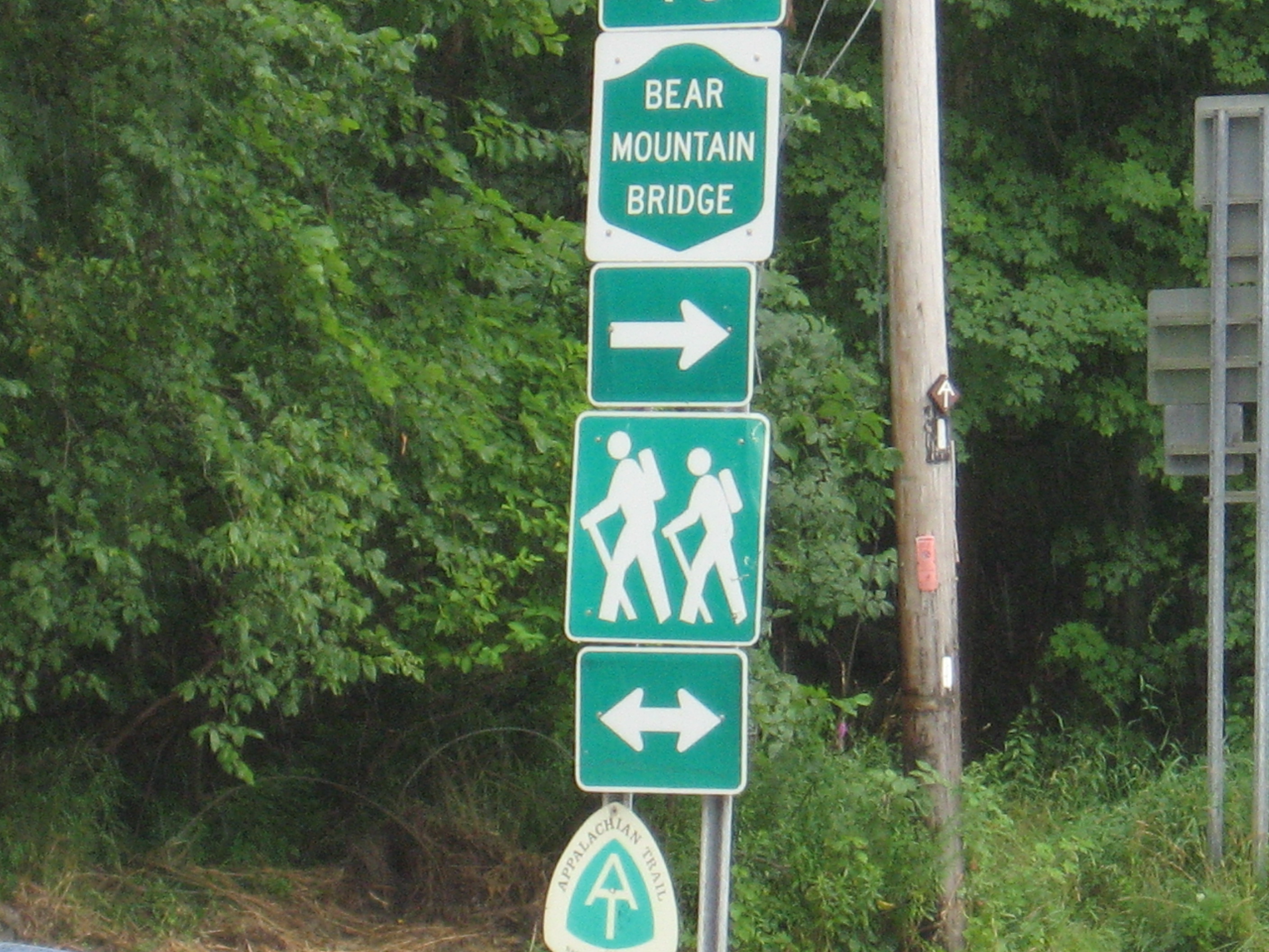
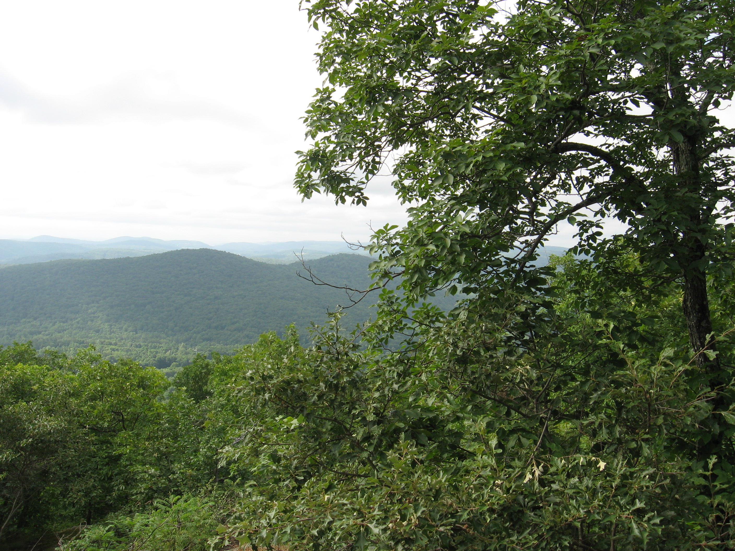
| 1404.4 | Camp Smith Trail to Anthony's Nose (700') | 700 |
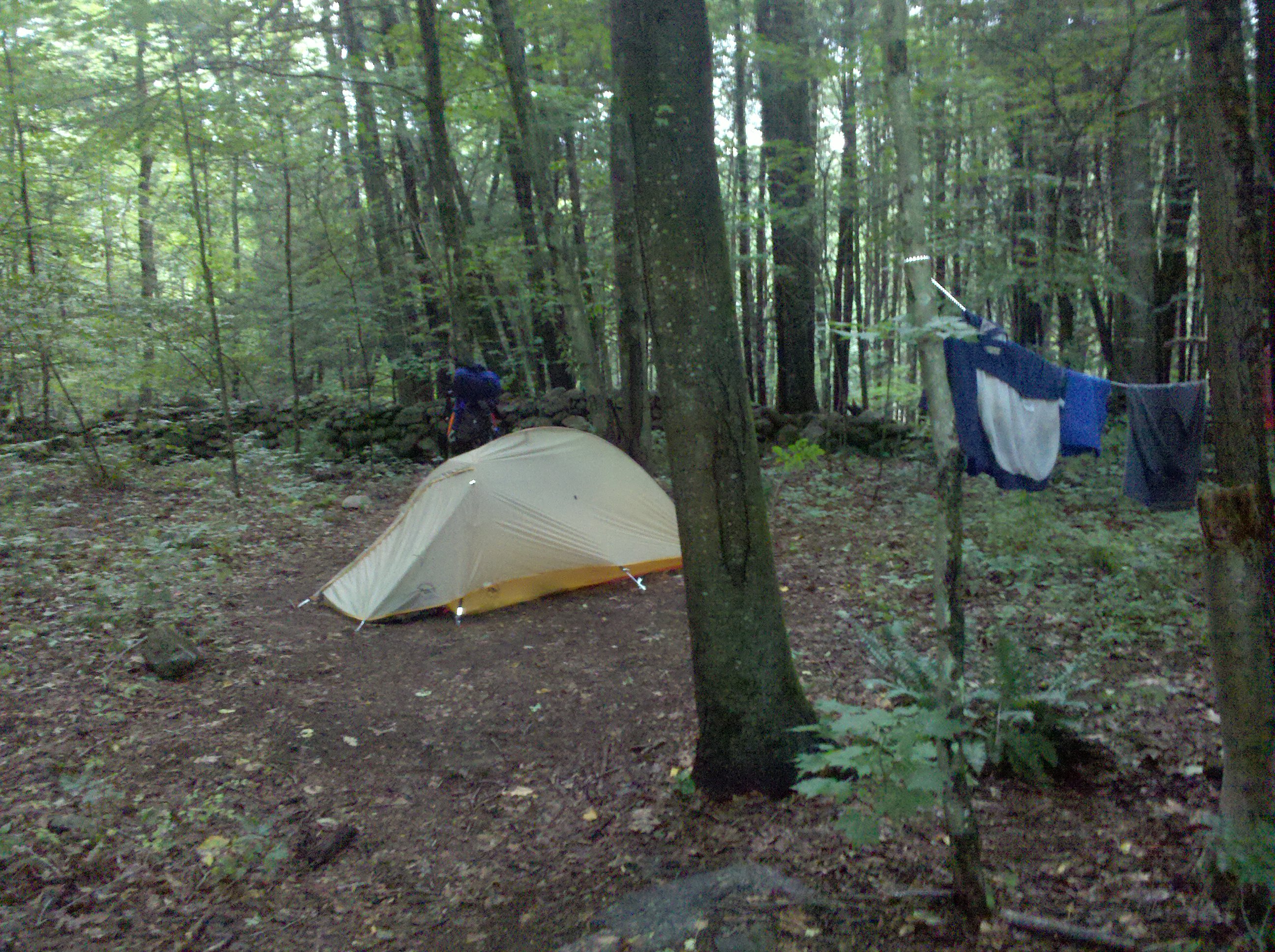
| 1405.4 | Hemlock Springs Campsite (550') | 550 |
| 1405.6 | Manitou Road, South Mountain Pass (460') | 460 |
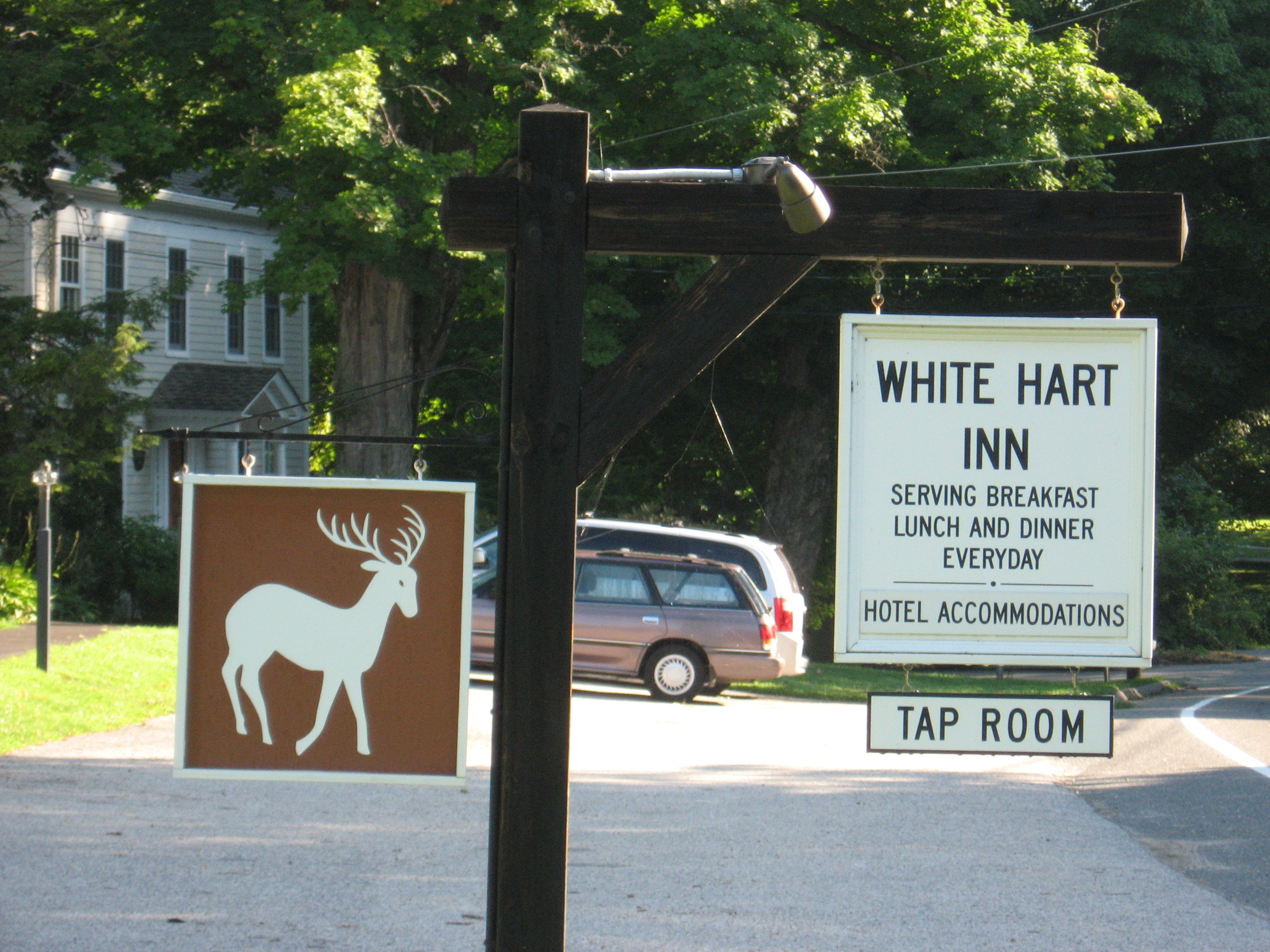
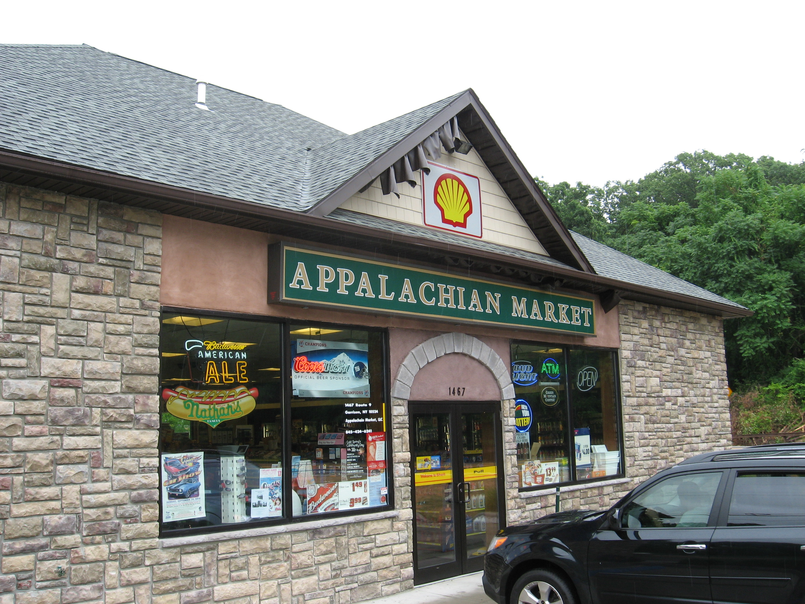
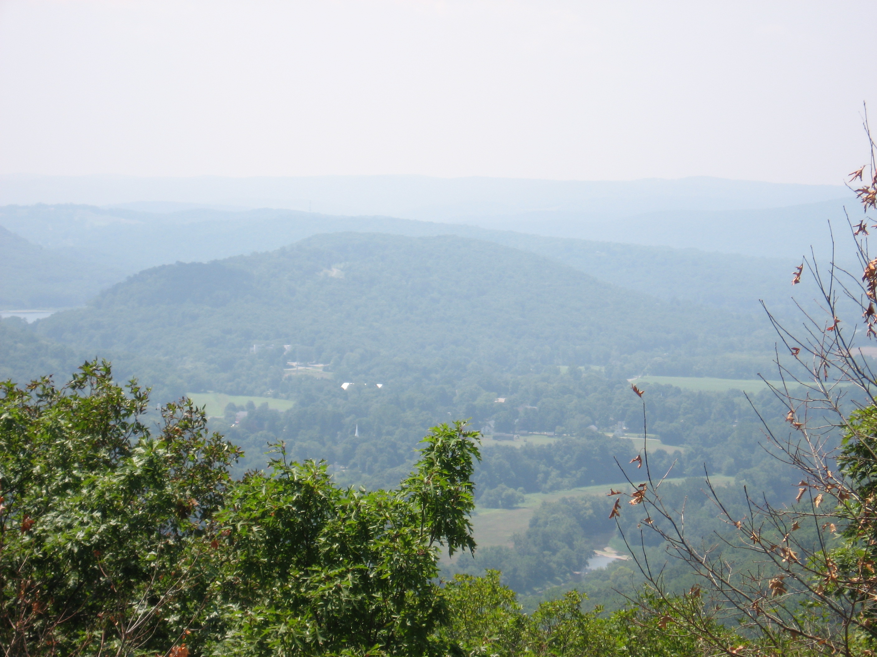
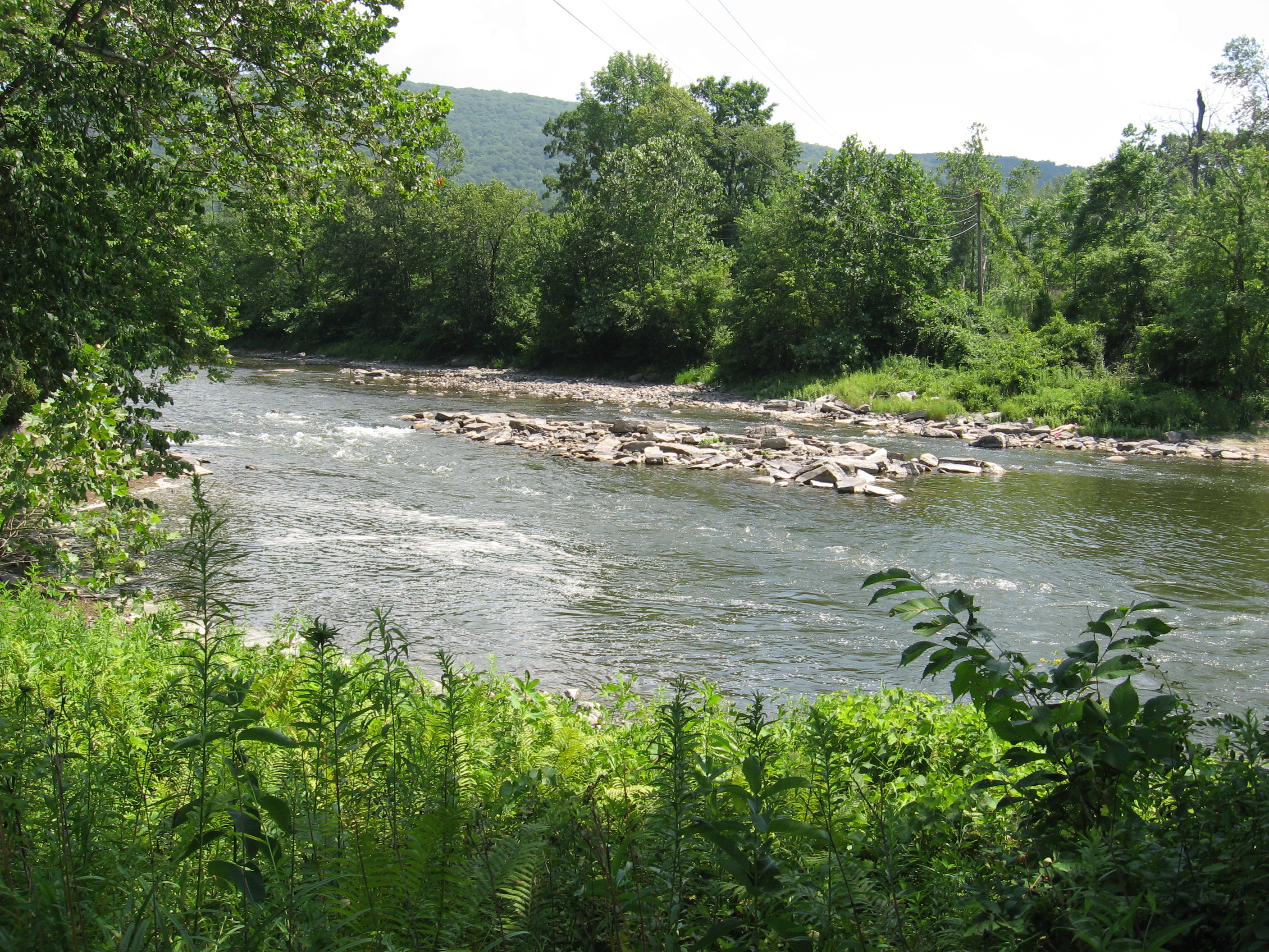
| 1409 | U.S. 9, N.Y. 403 (400') Peekskill, N.Y. 10566 Cold Spring, N.Y. | 400 |
| 1409.2 | Old Highland Turnpike?paved | |
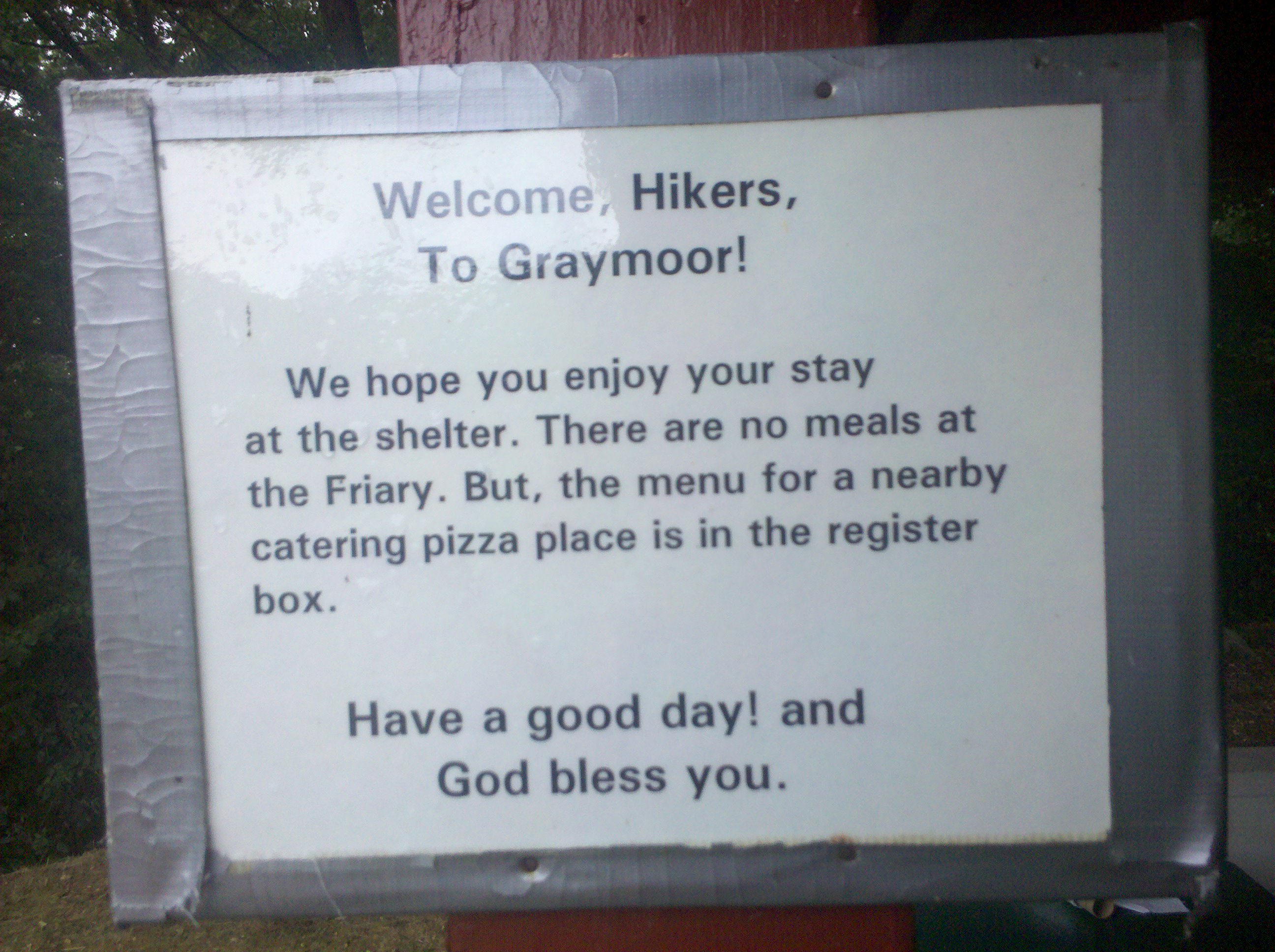
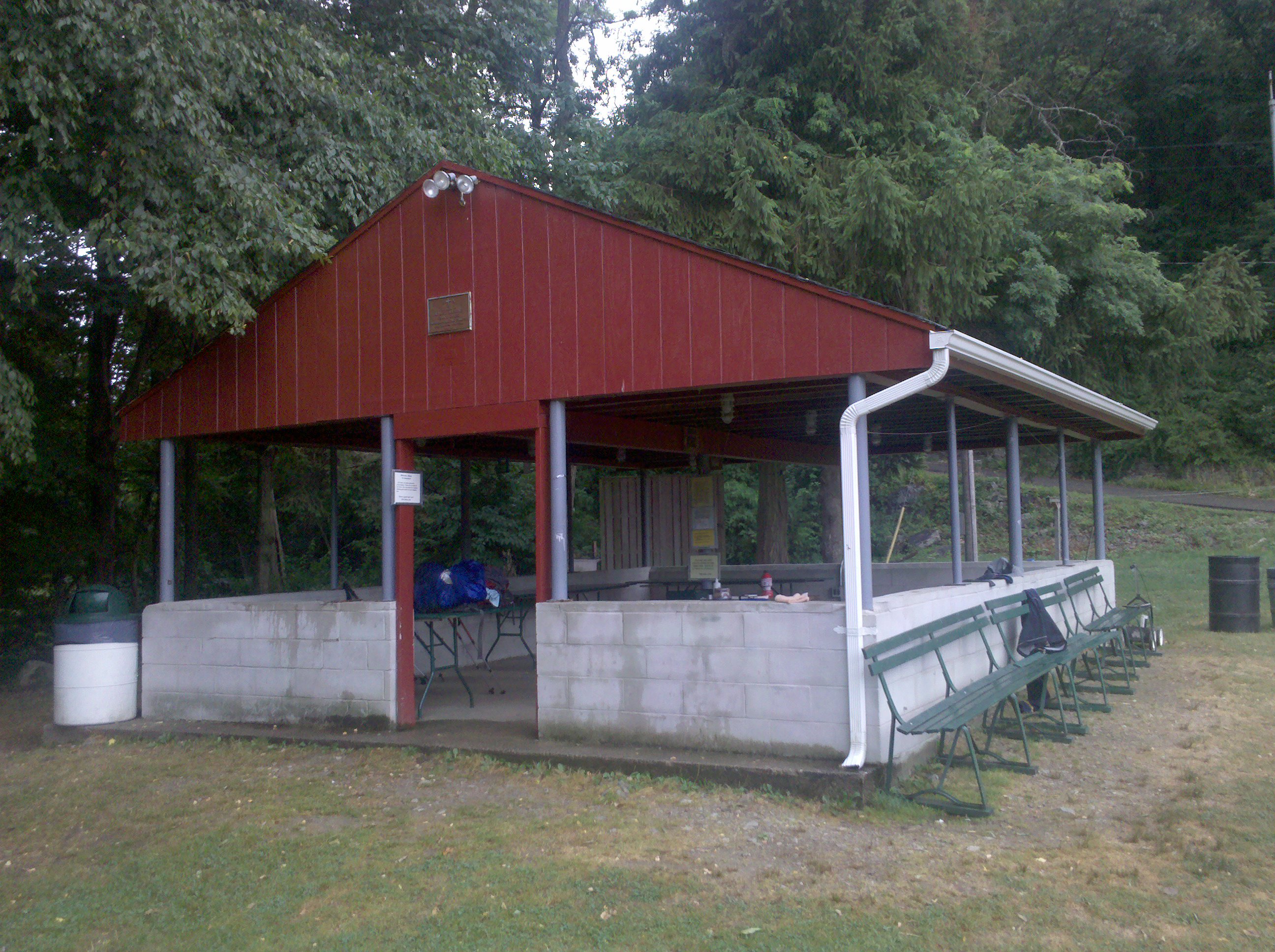
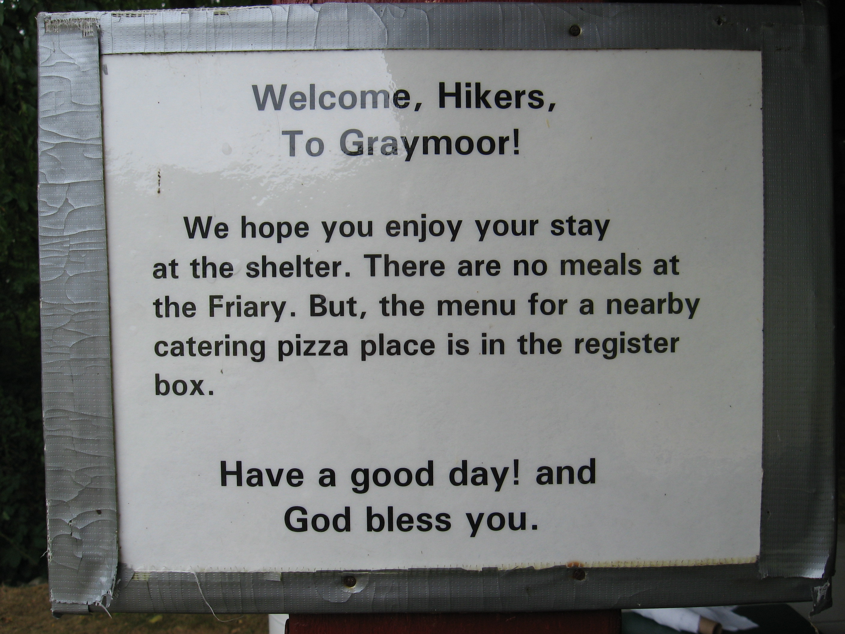
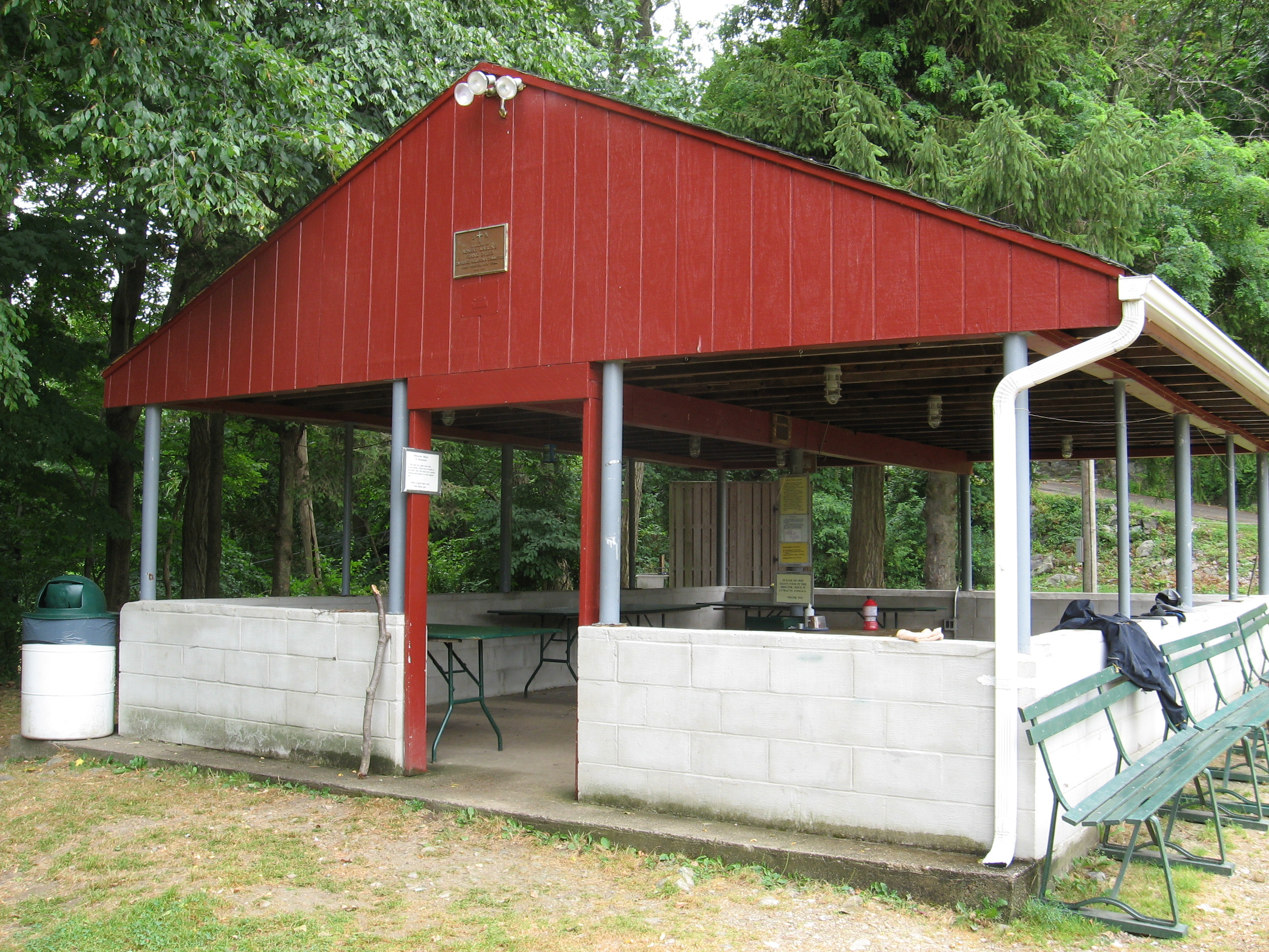
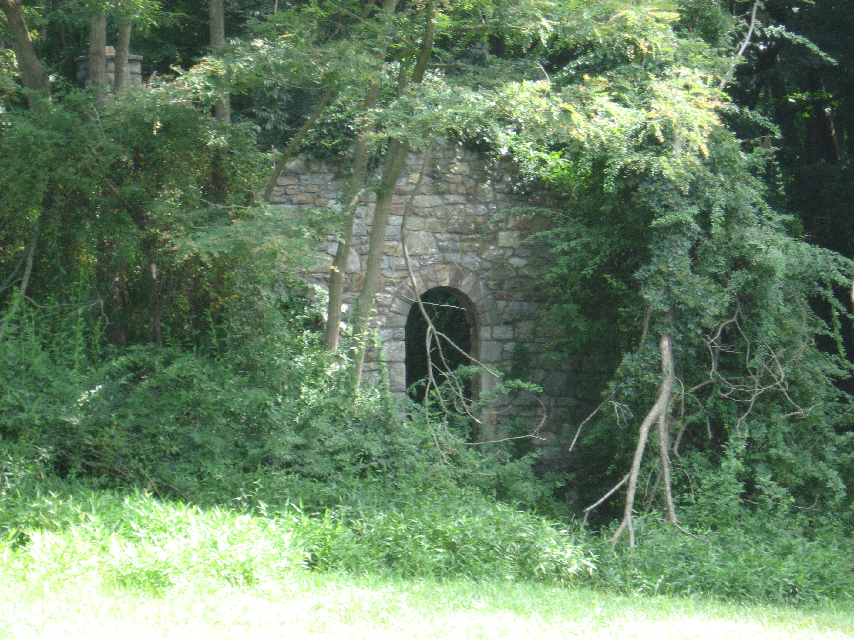
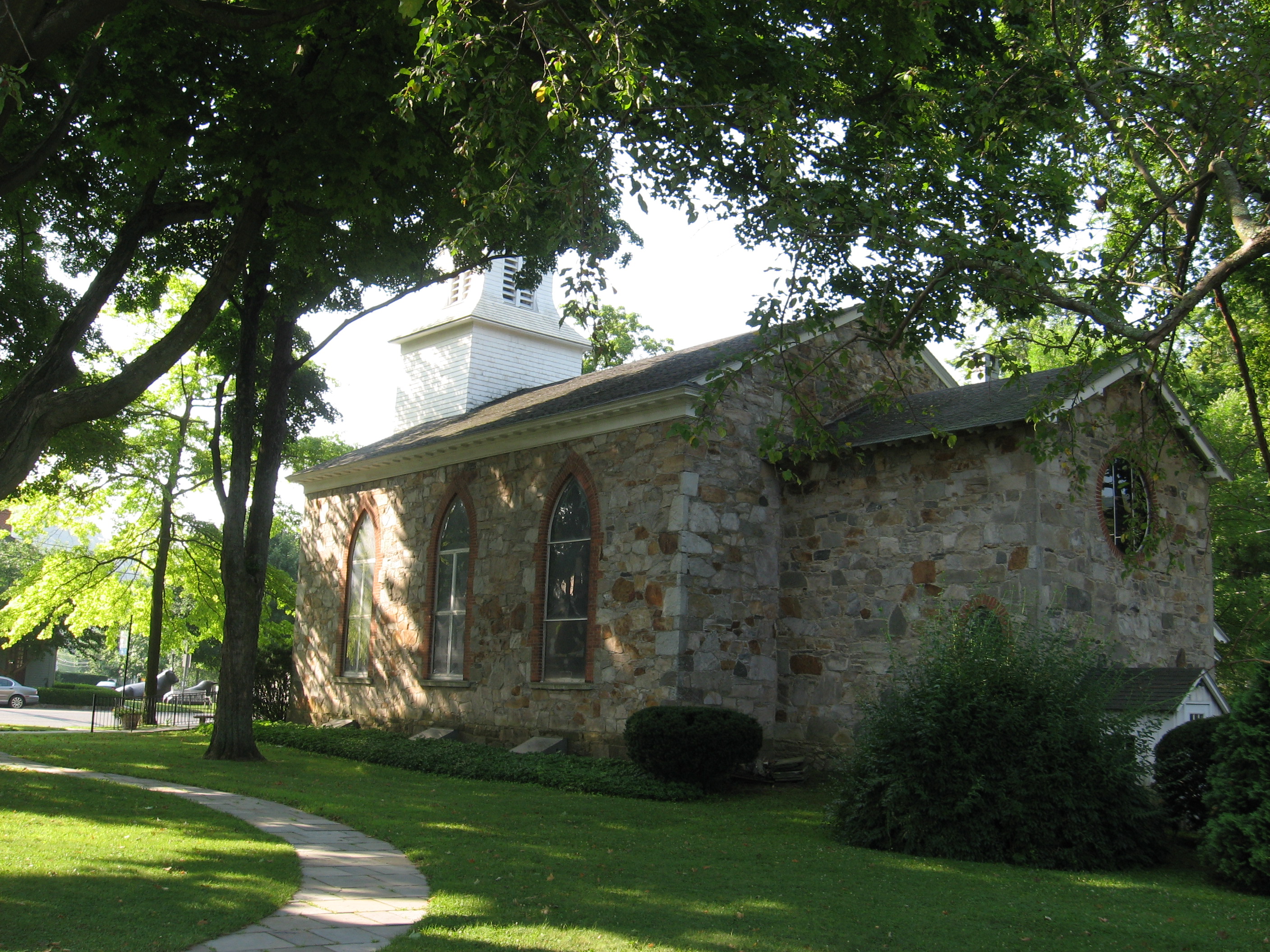
| 1409.5 | Graymoor Spiritual Life Center?Fran-ciscan Way (520')?blue blazes to ball-field | 520 |
| 1409.6 | Old Westpoint Road (550') | 550 |
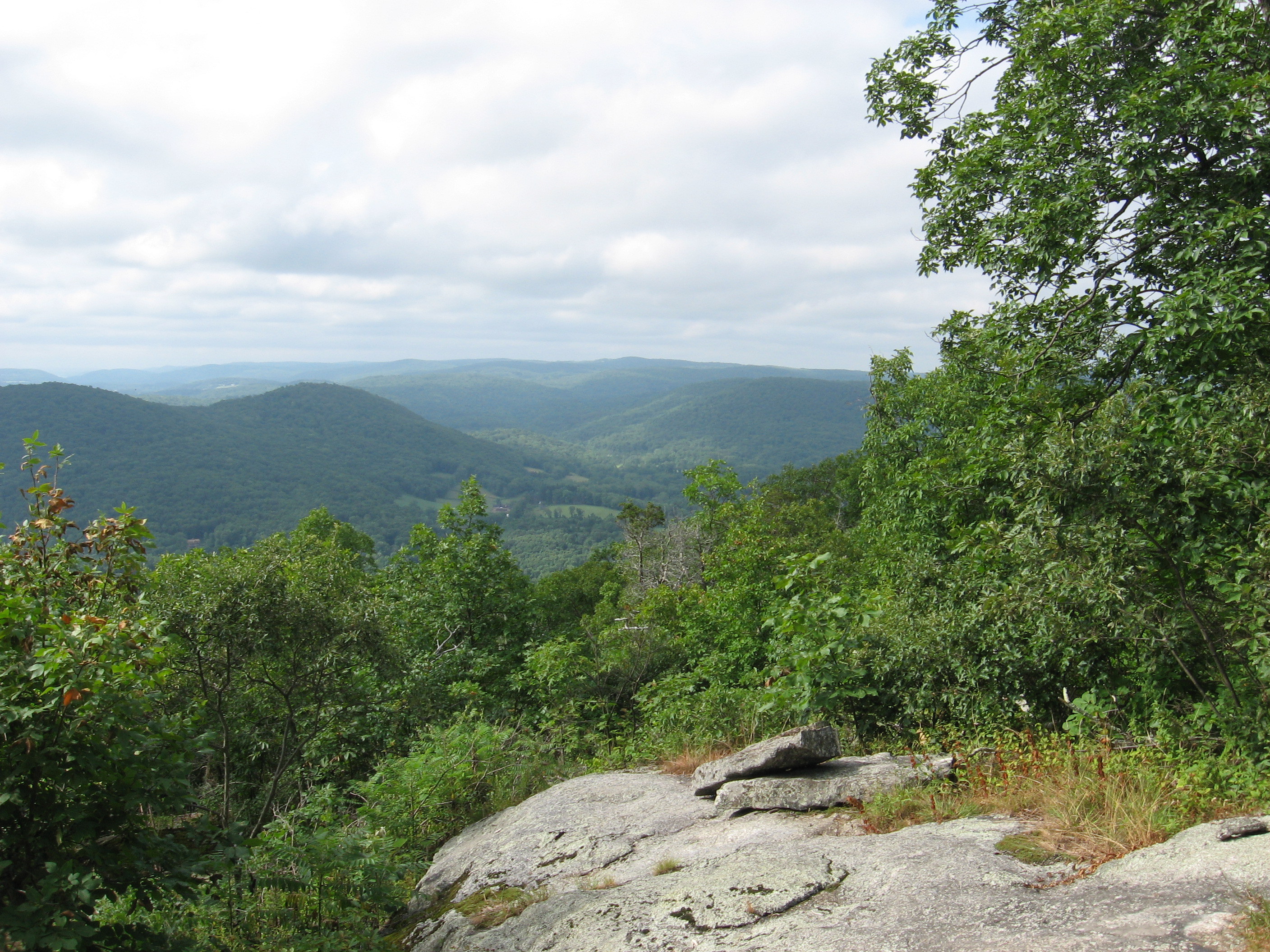
| 1411.5 | Denning Hill (900') | 900 |
| 1412.3 | Old Albany Post Road?Chapman Road (607') | 607 |
| 1414 | Canopus Hill Road (420') | 420 |
| 1415 | South Highland Road (570') | 570 |


| Miles from Springer | Features | Elevation |
|---|---|---|
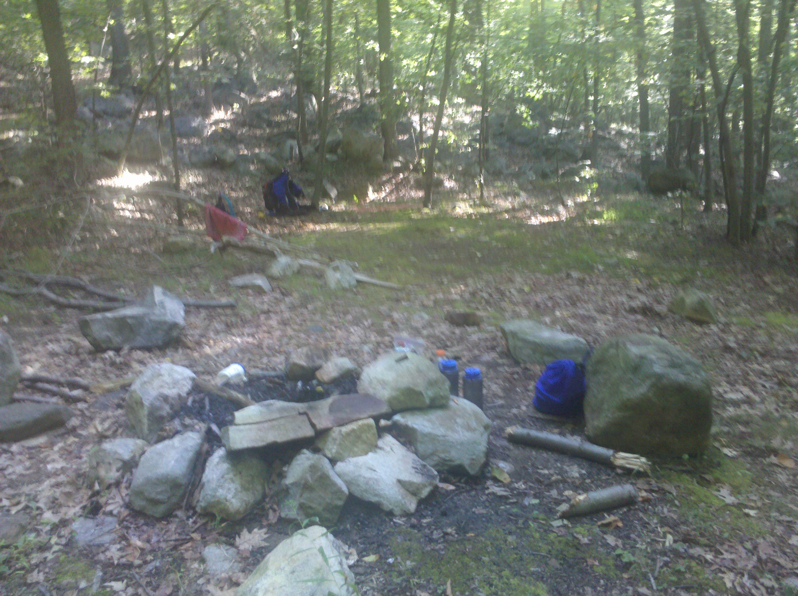
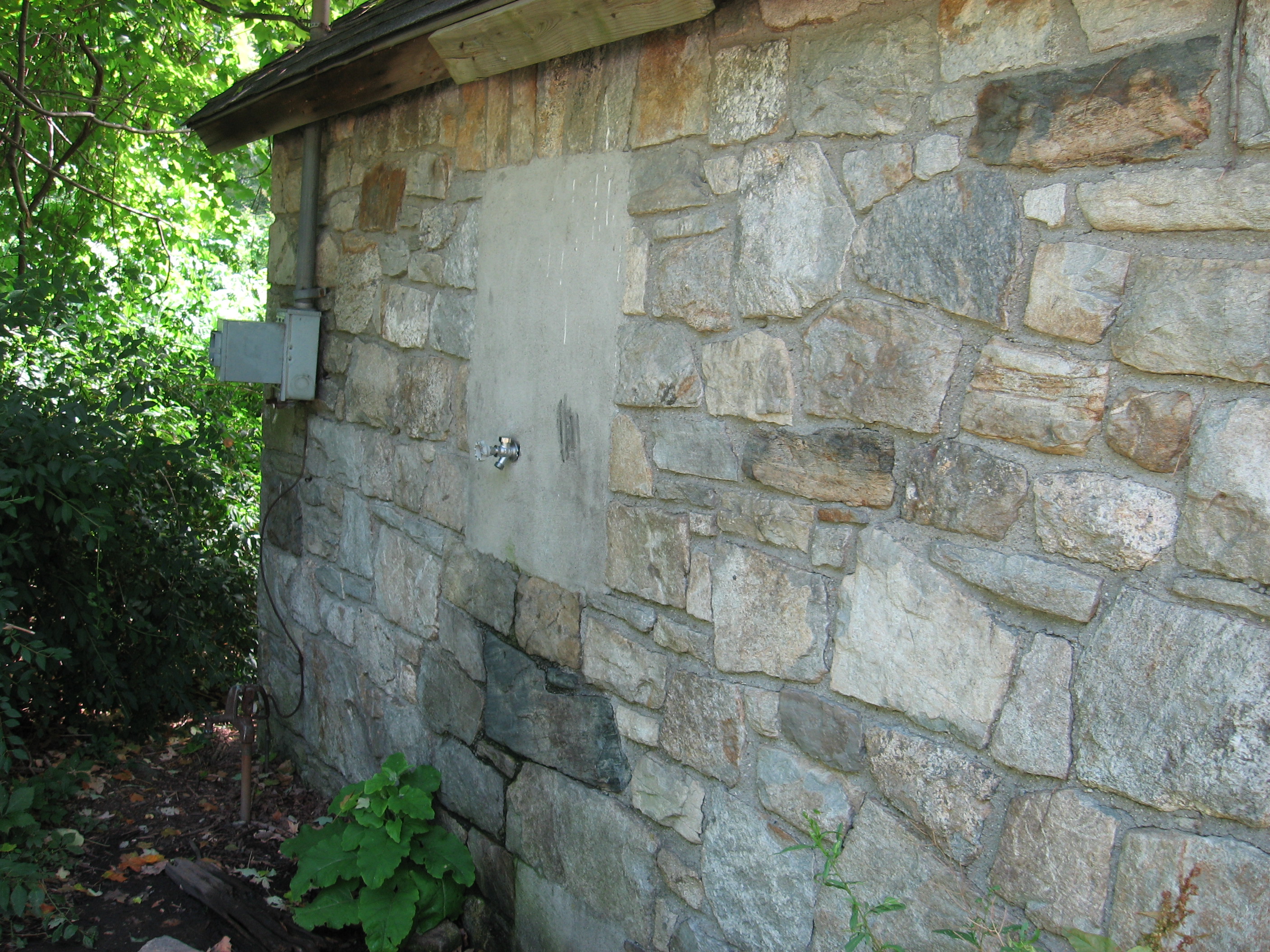
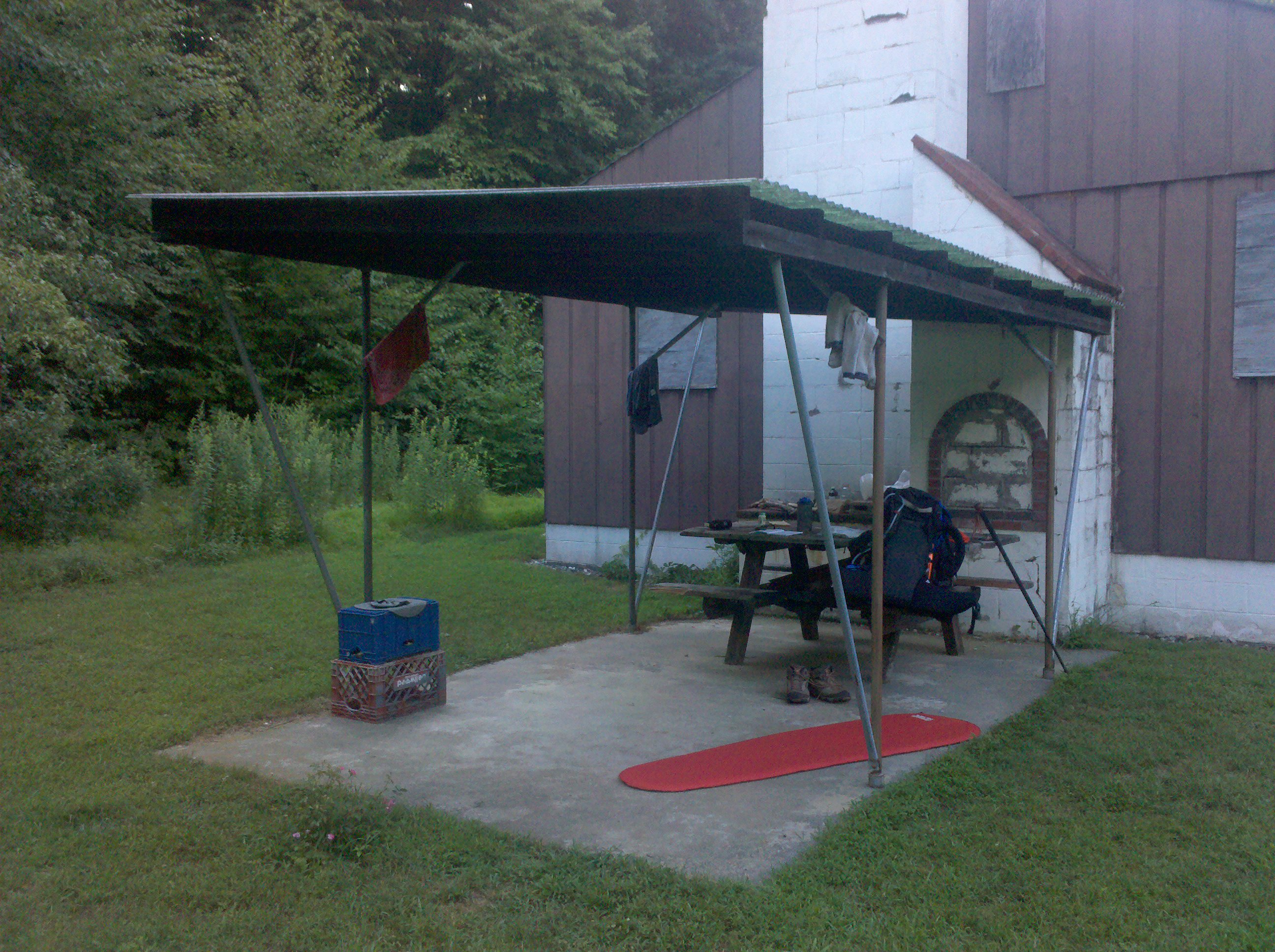
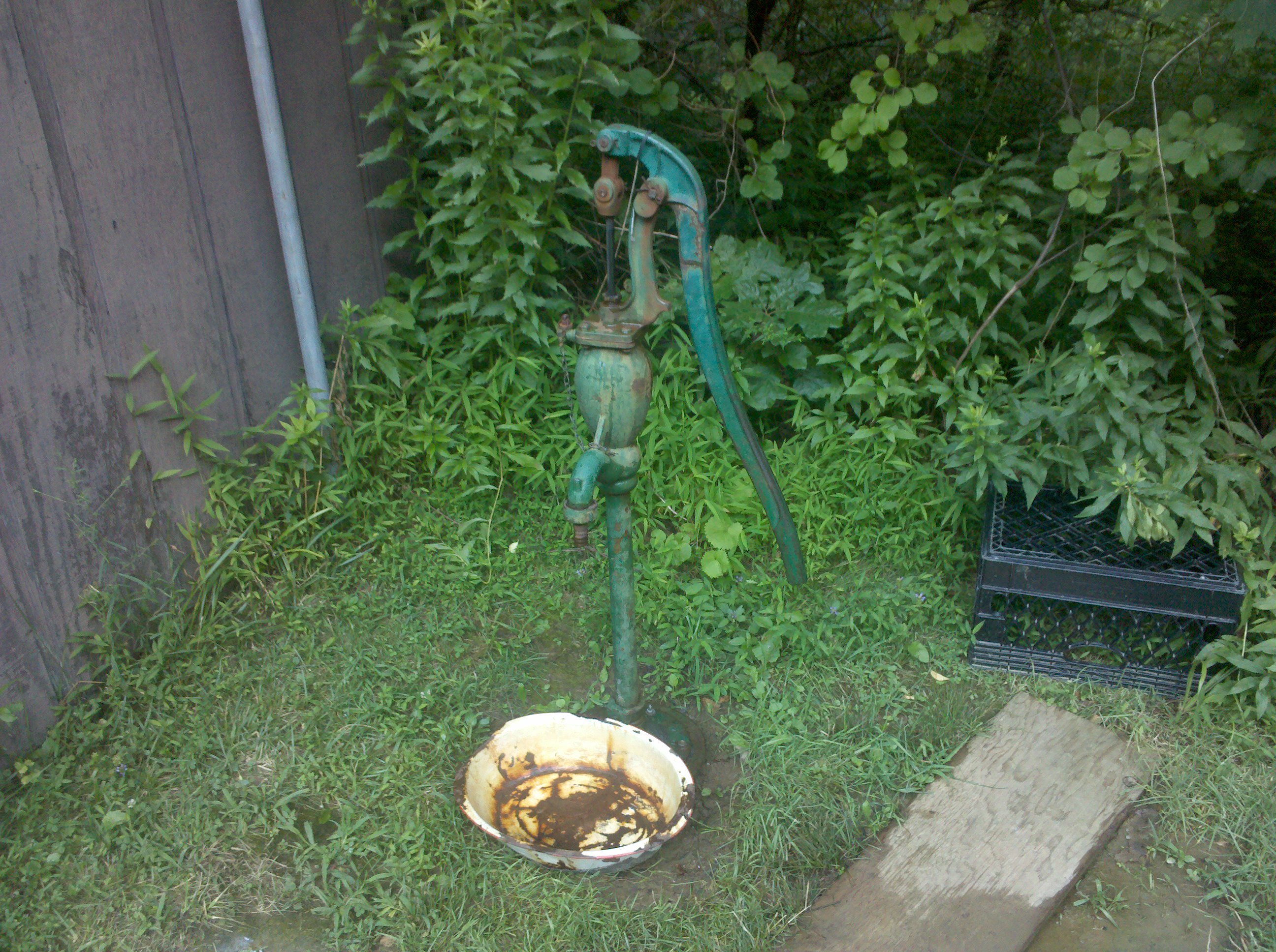
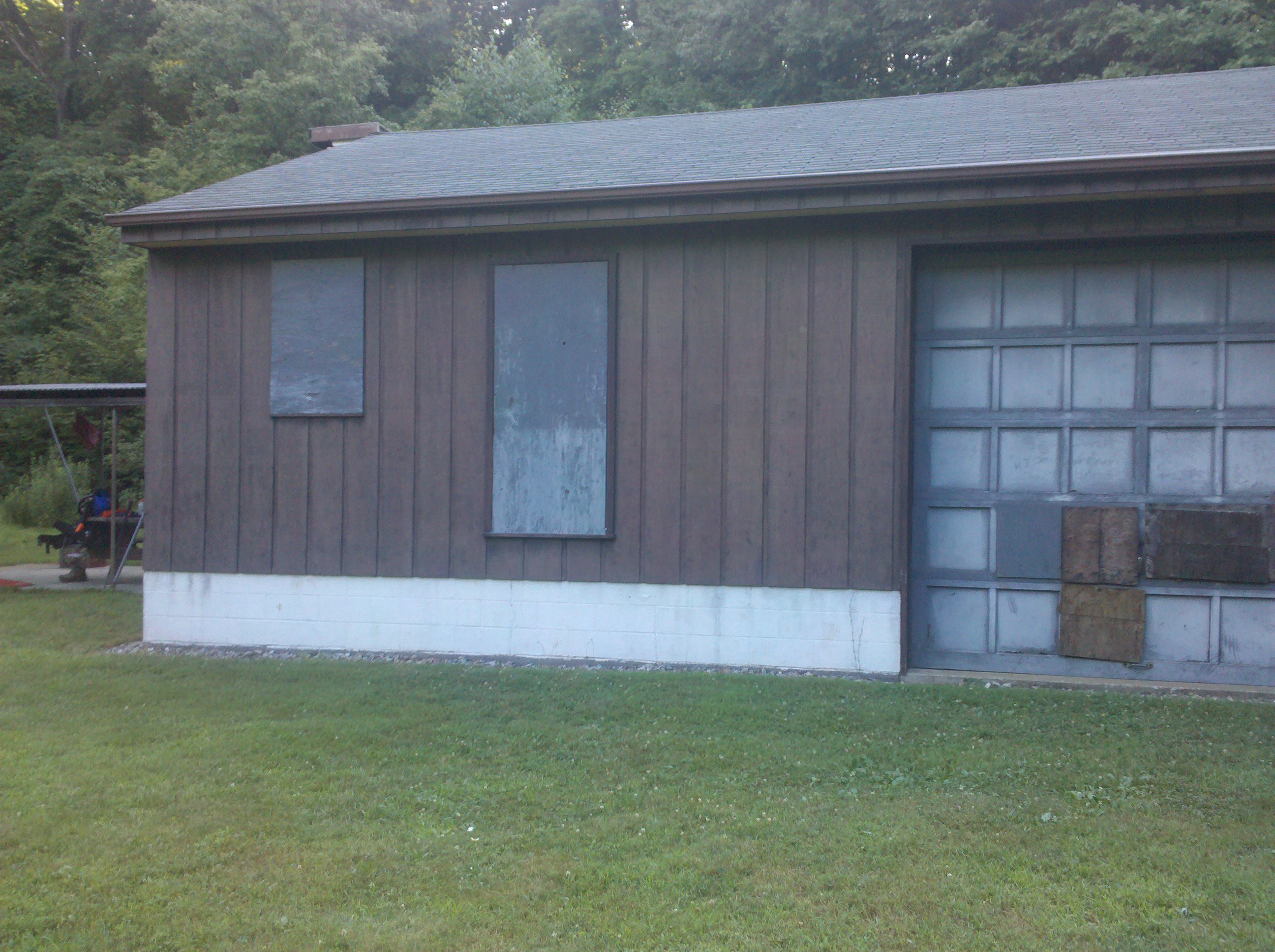
| 1417.7 | Dennytown Road (860')?water faucet on building | 860 |
| 1419.3 | Sunk Mine Road (800') | 800 |
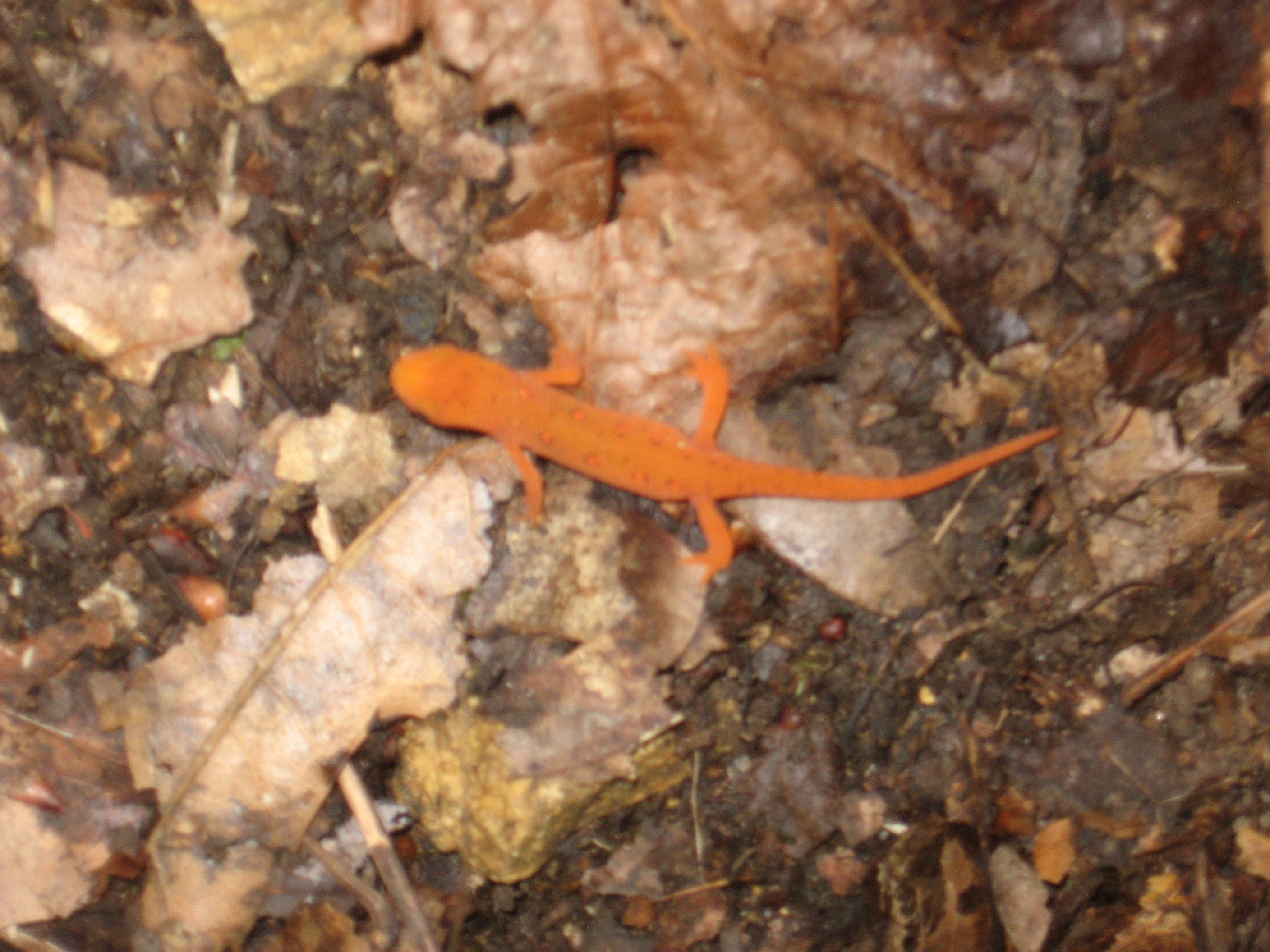
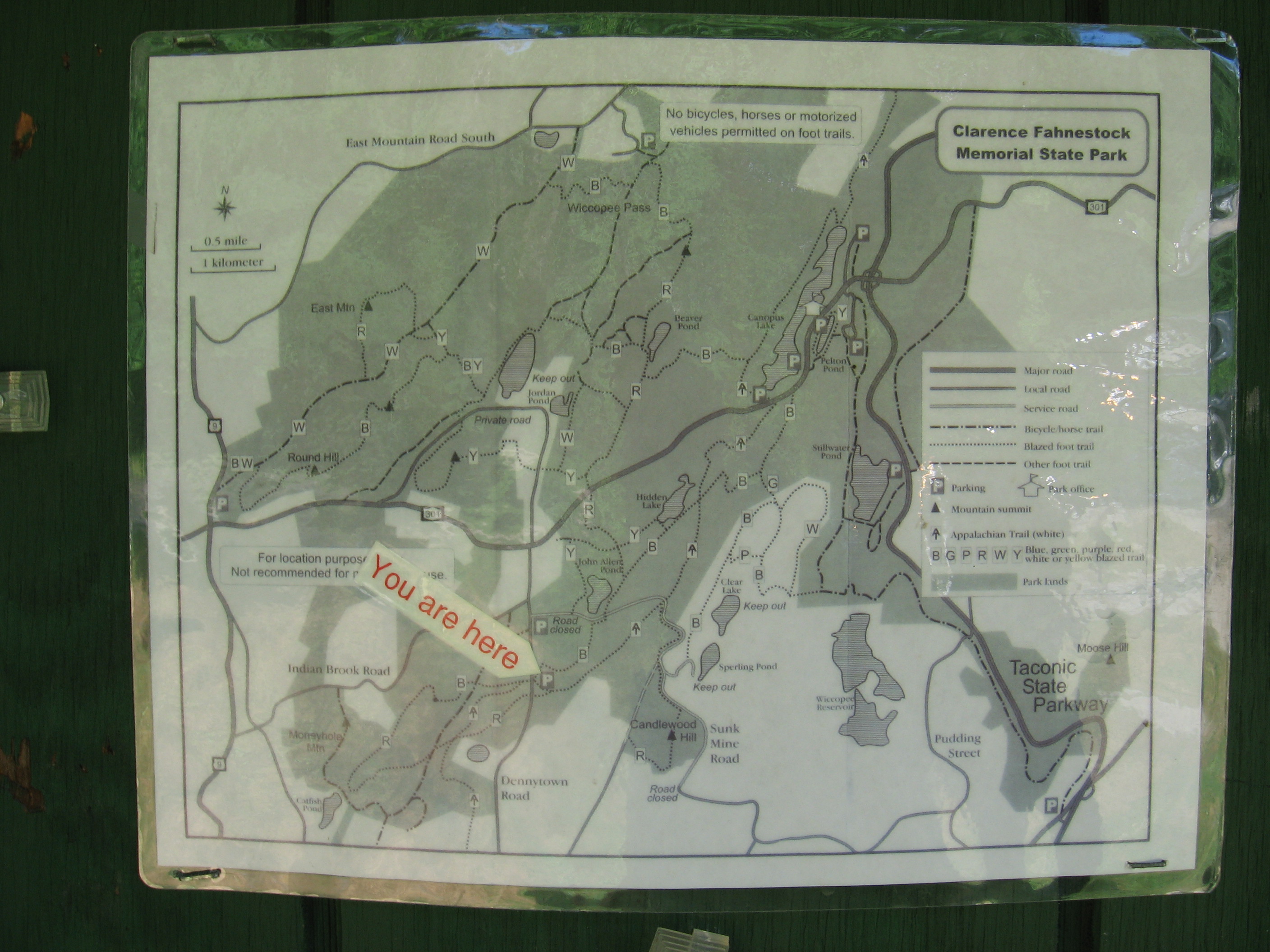
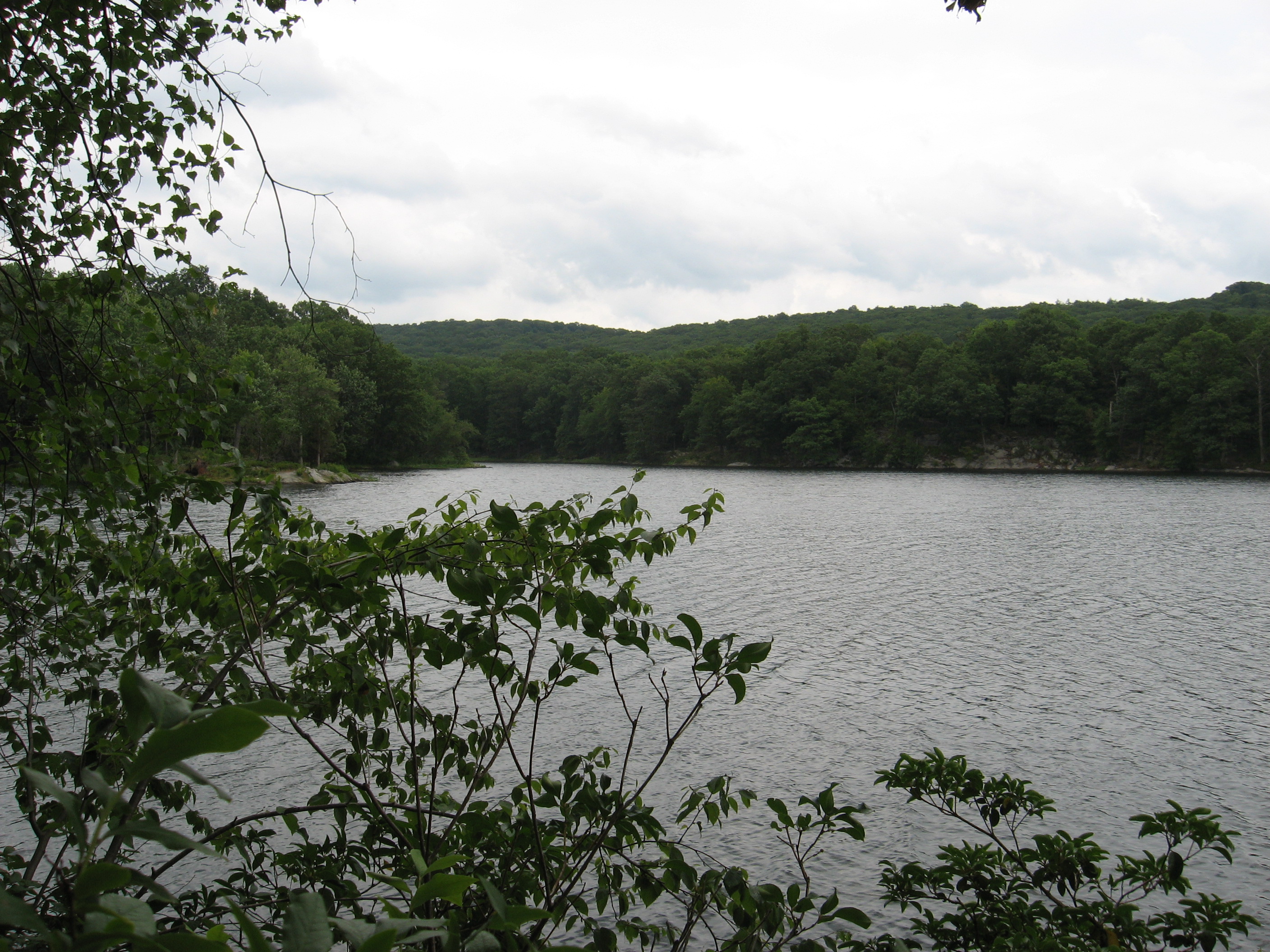
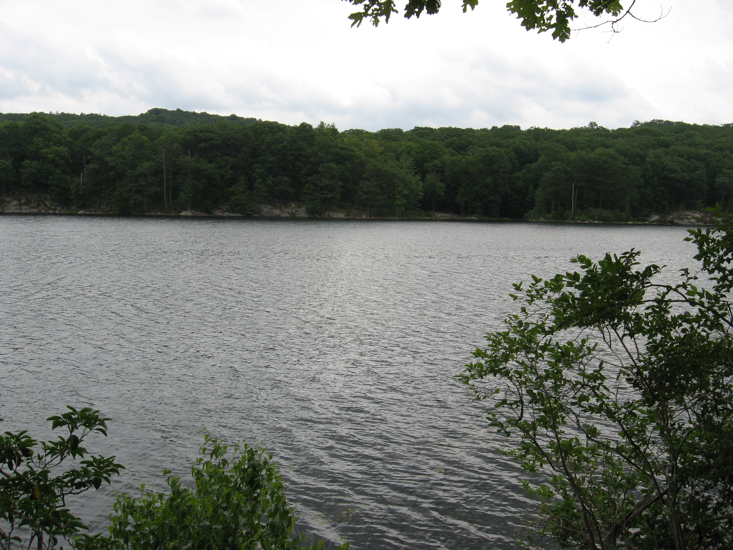
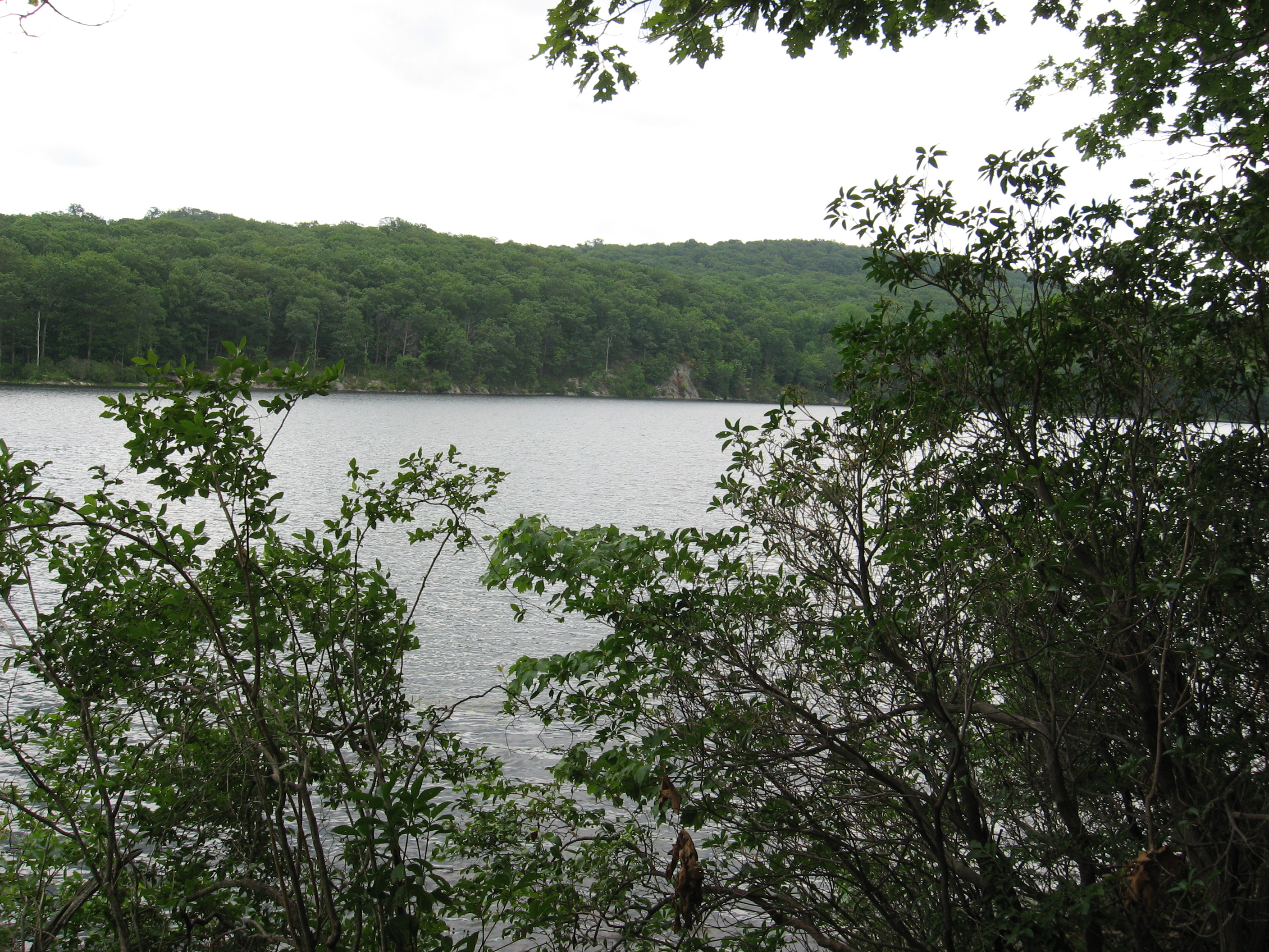
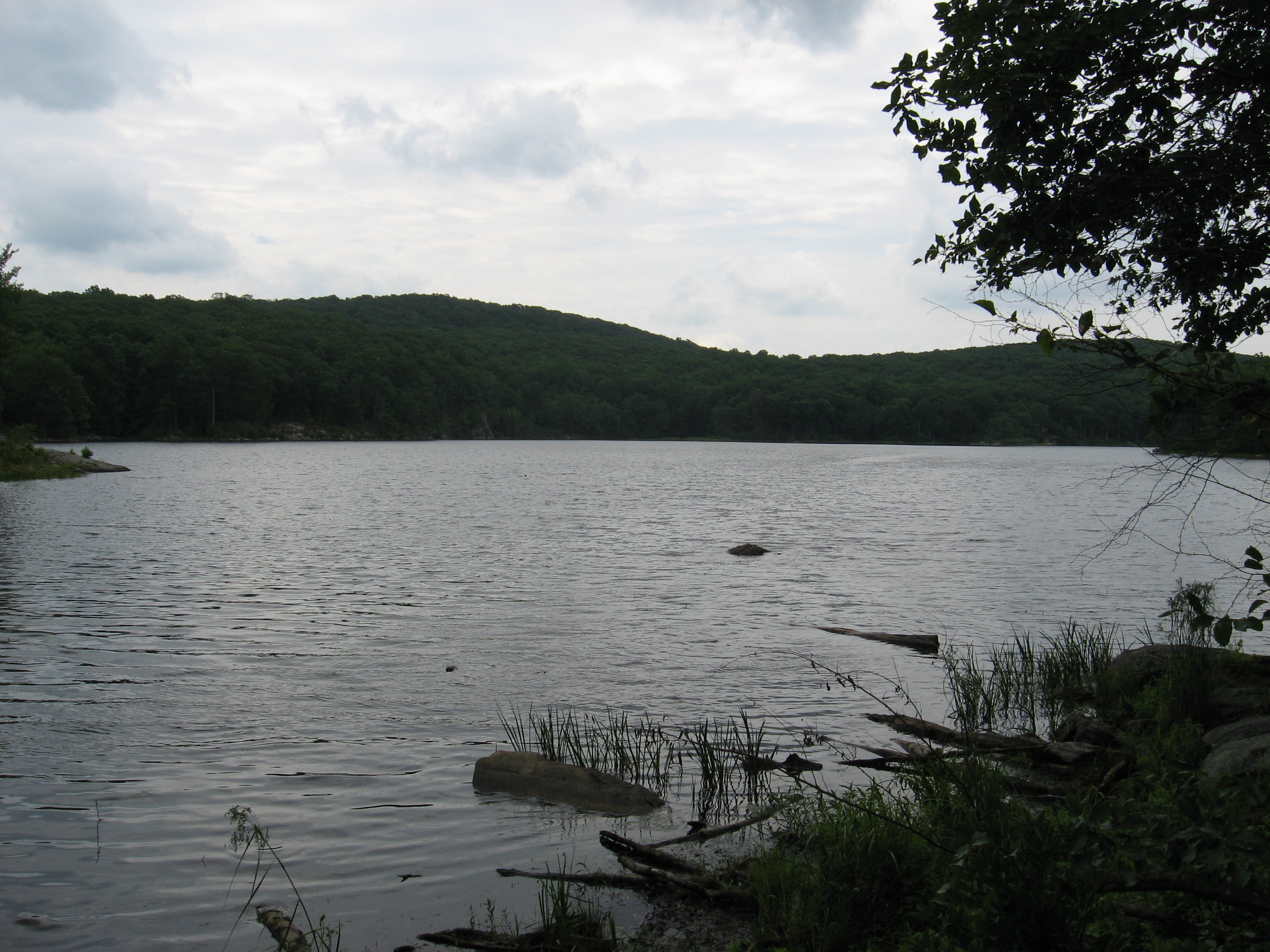
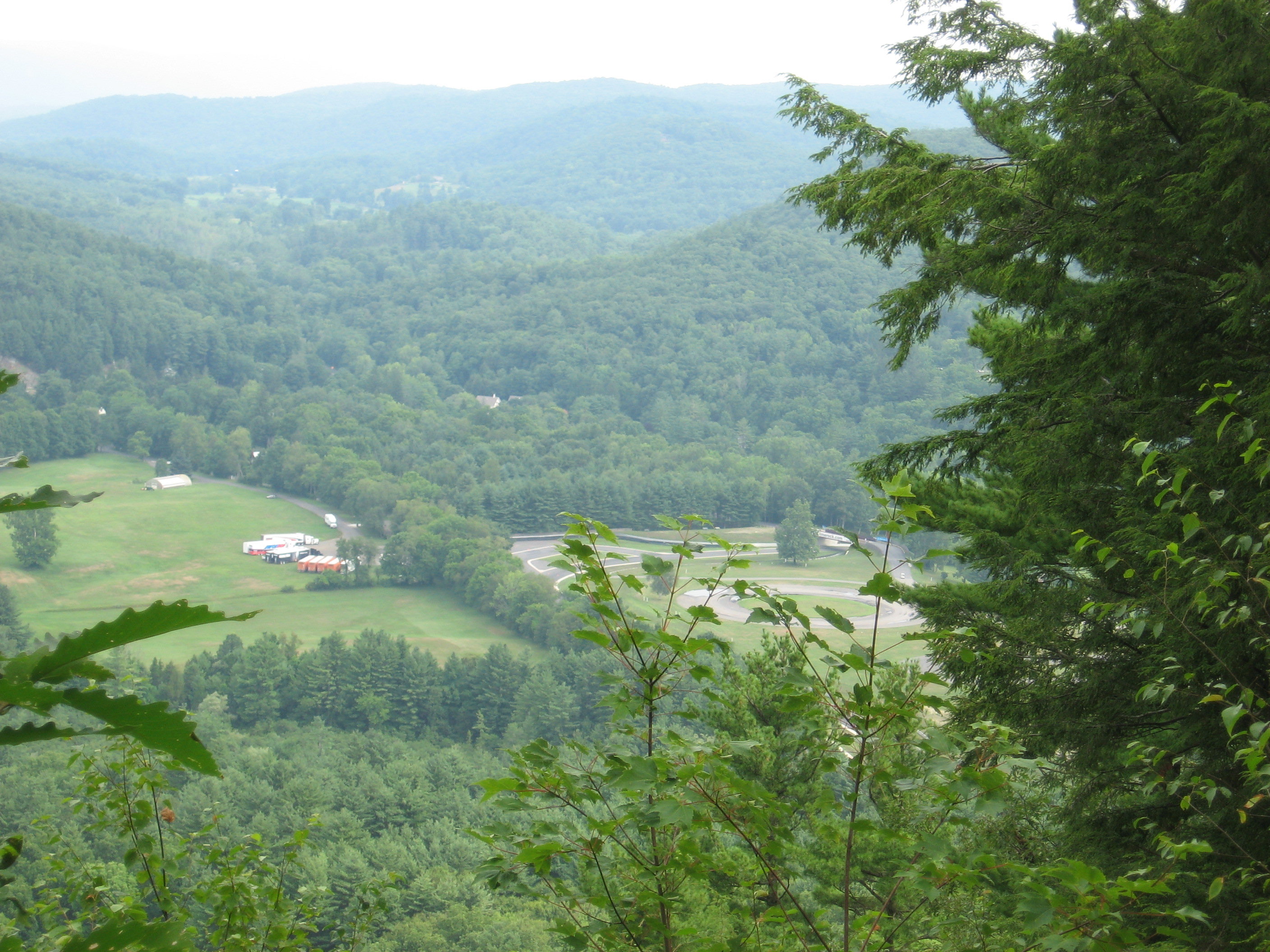
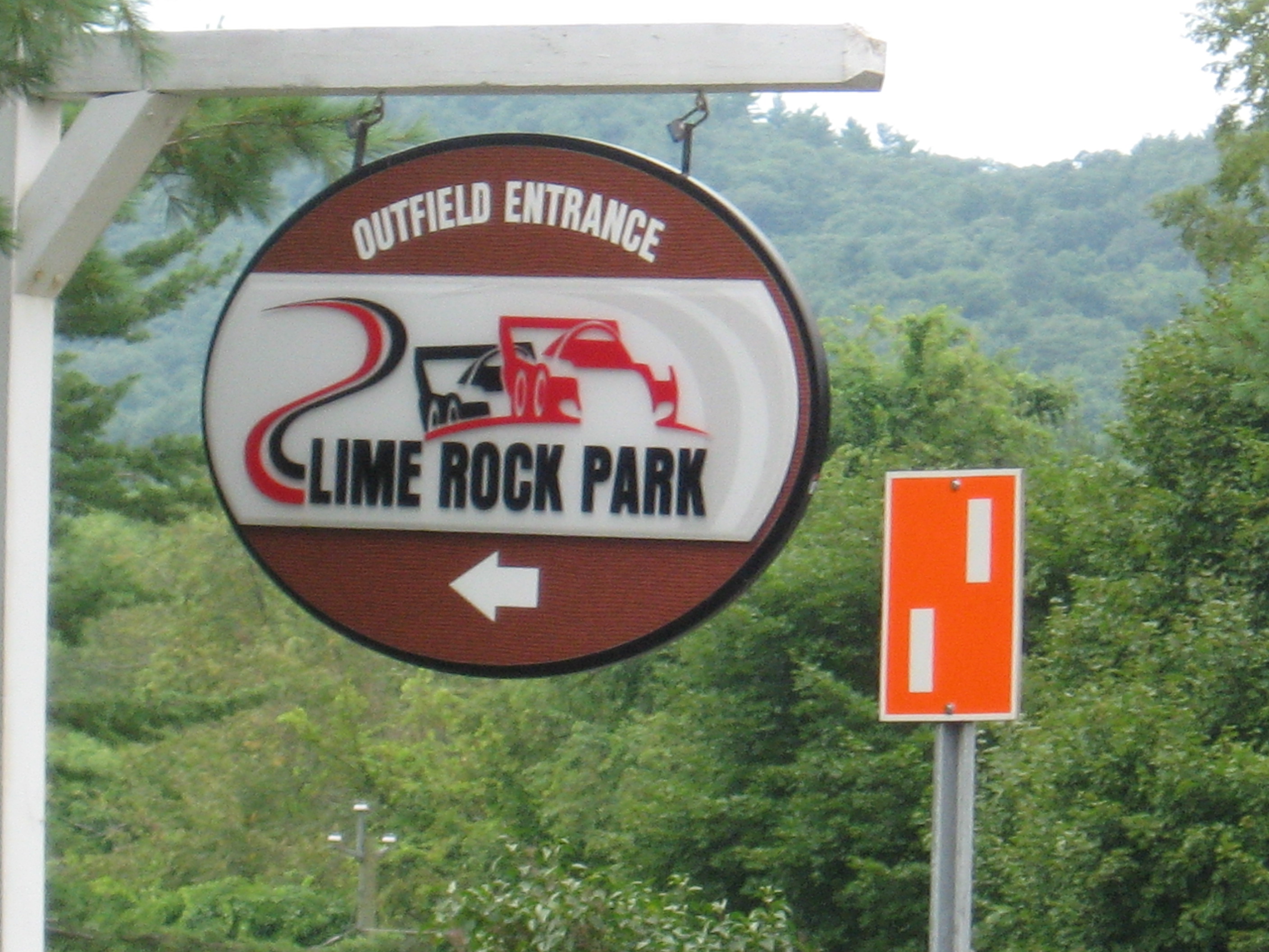
| 1421.4 | N.Y. 301, Canopus Lake, Clarence Fahnestock State Park (920') | 920 |
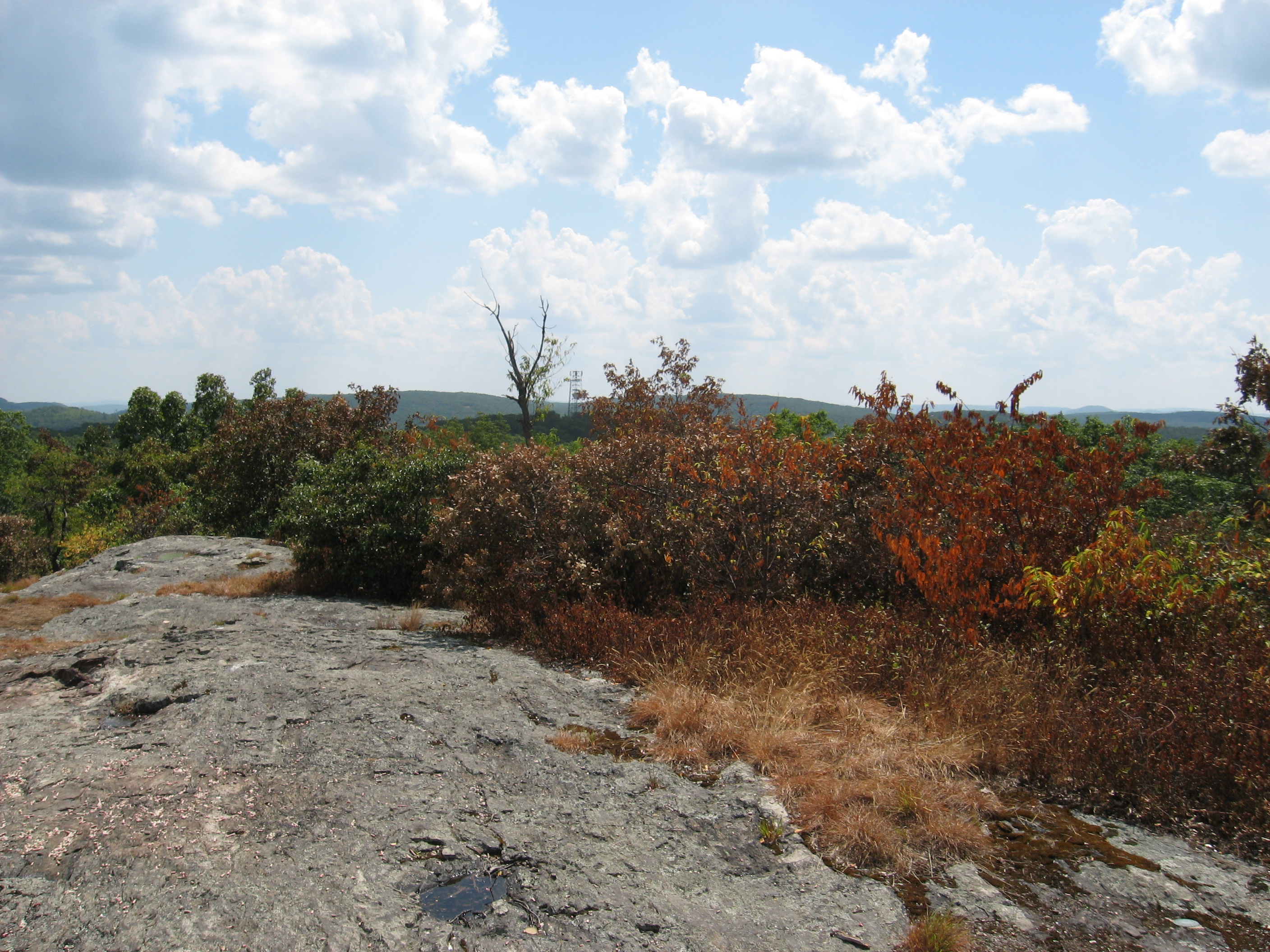
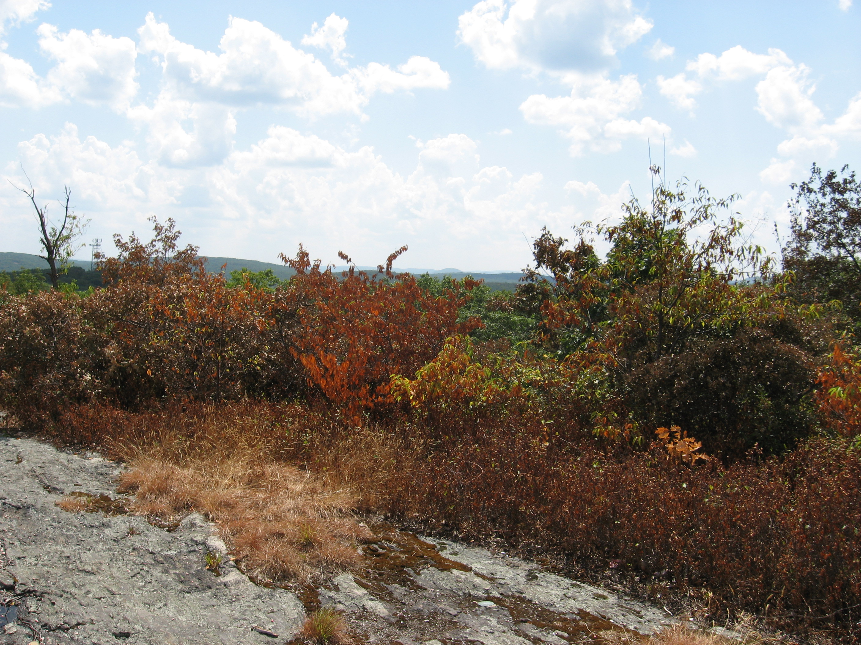
| 1425.6 | Shenandoah Mountain (1,282') | 1282 |
| 1426 | Long Hill Road (1,100') | 1100 |
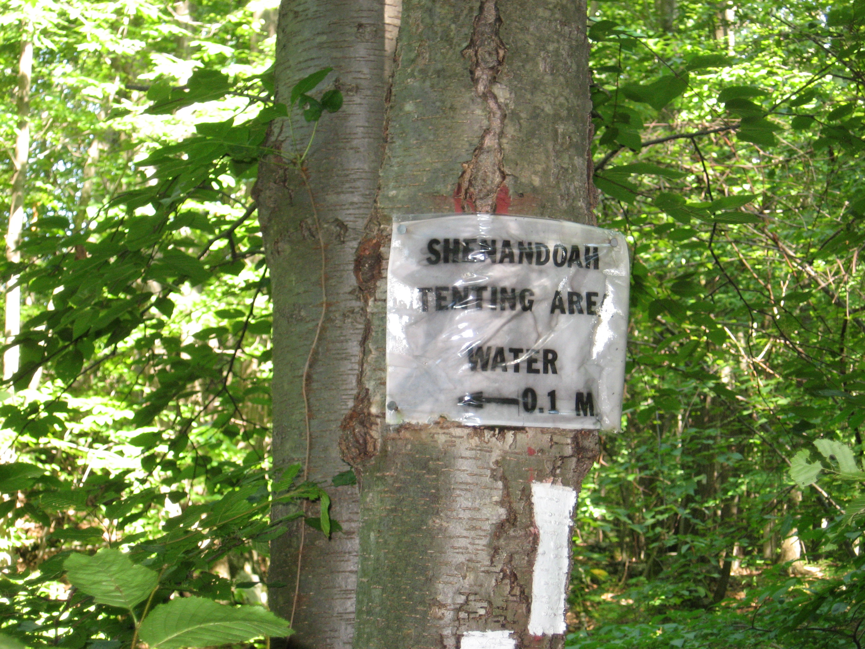
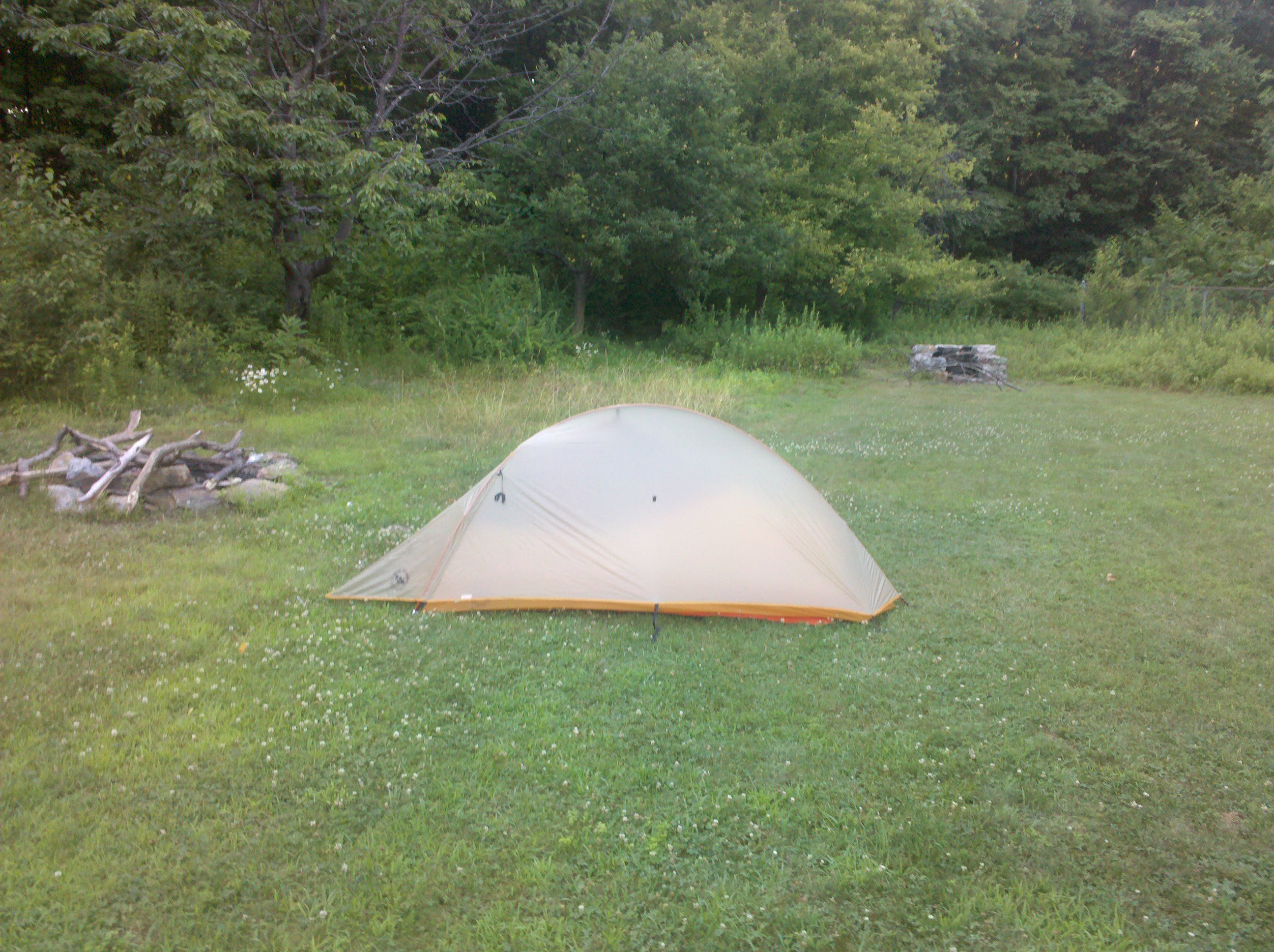
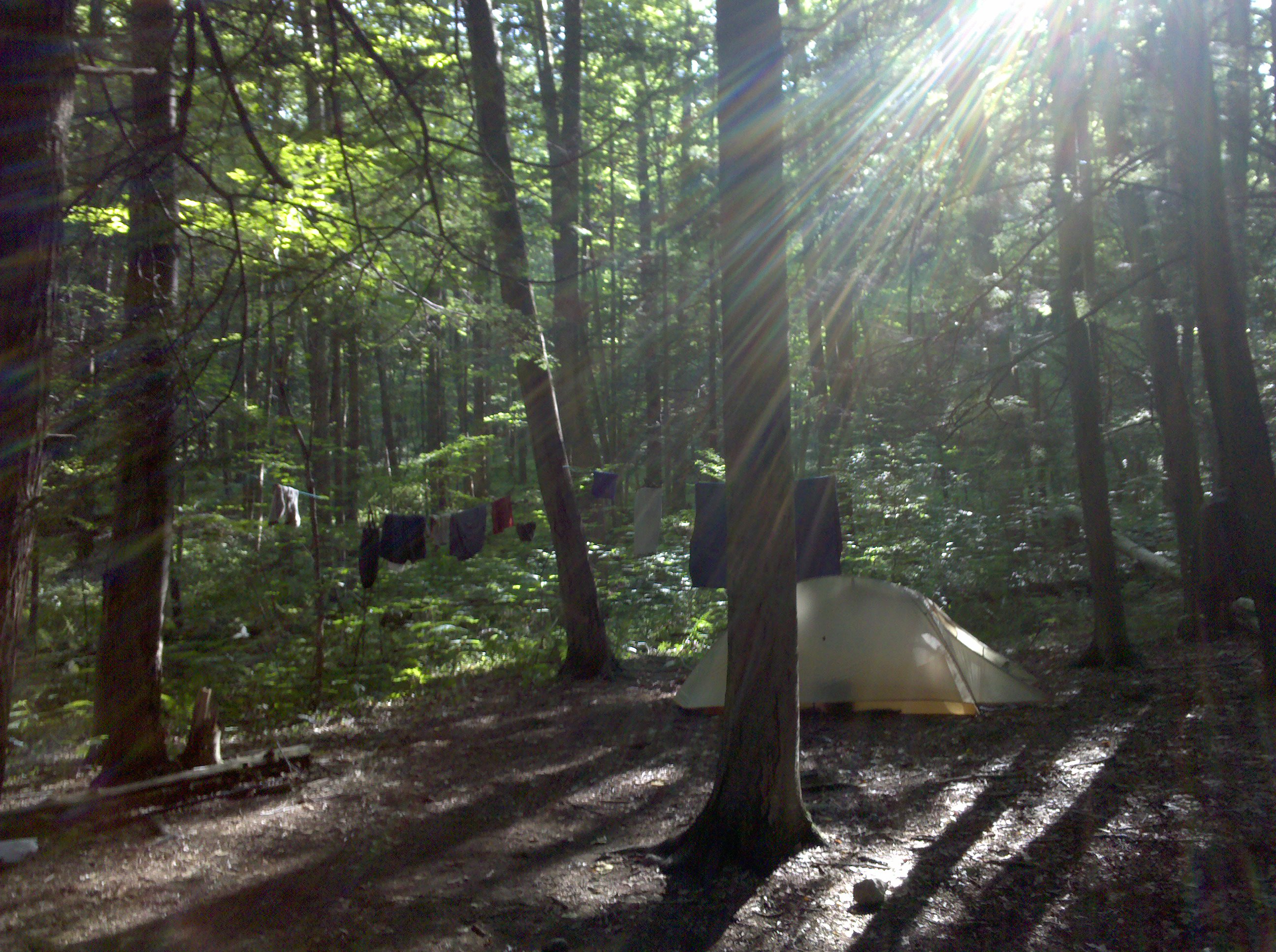
| 1427.1 | Shenandoah Tenting Area (900') | 900 |

| Miles from Springer | Features | Elevation |
|---|---|---|
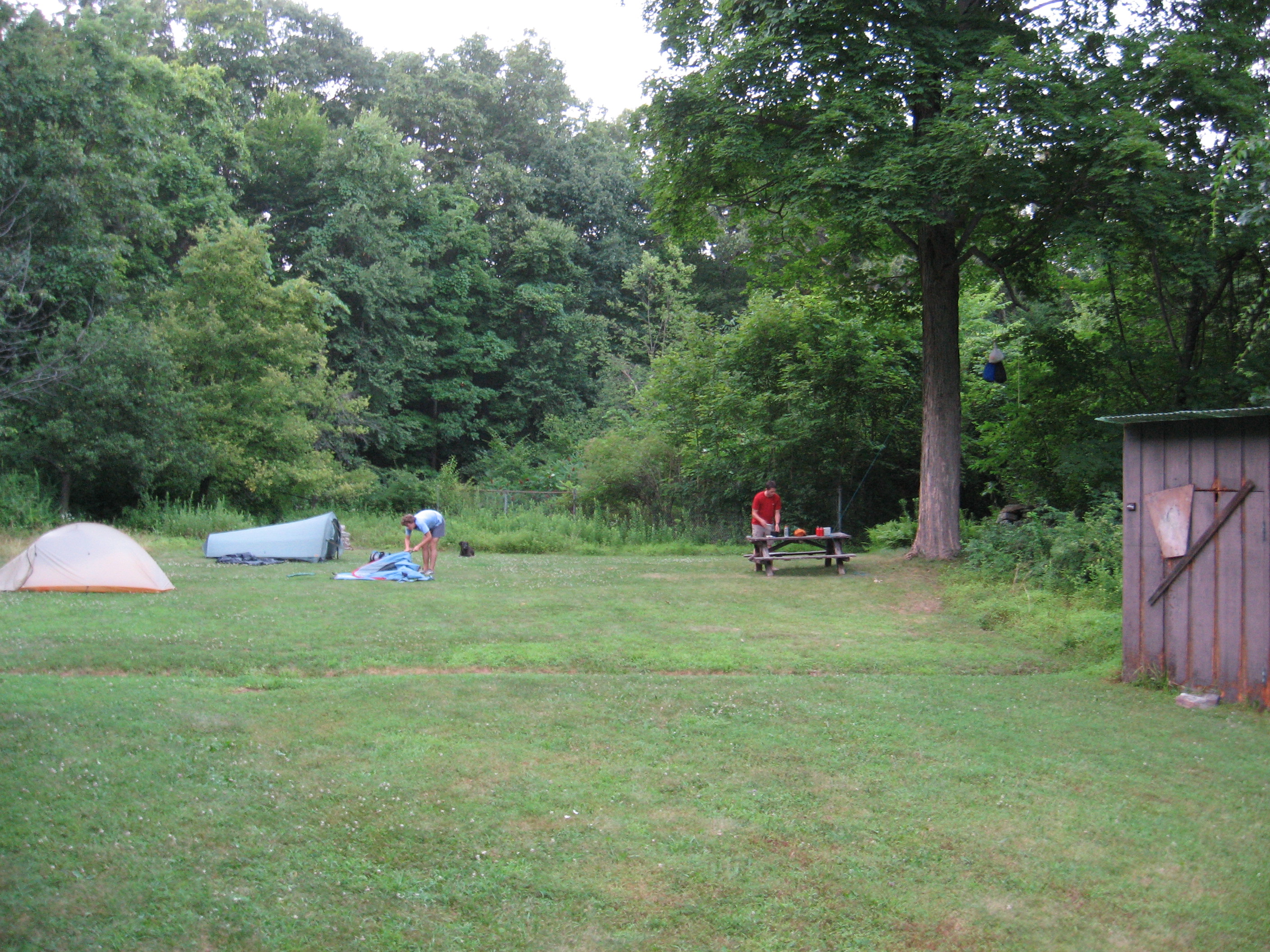
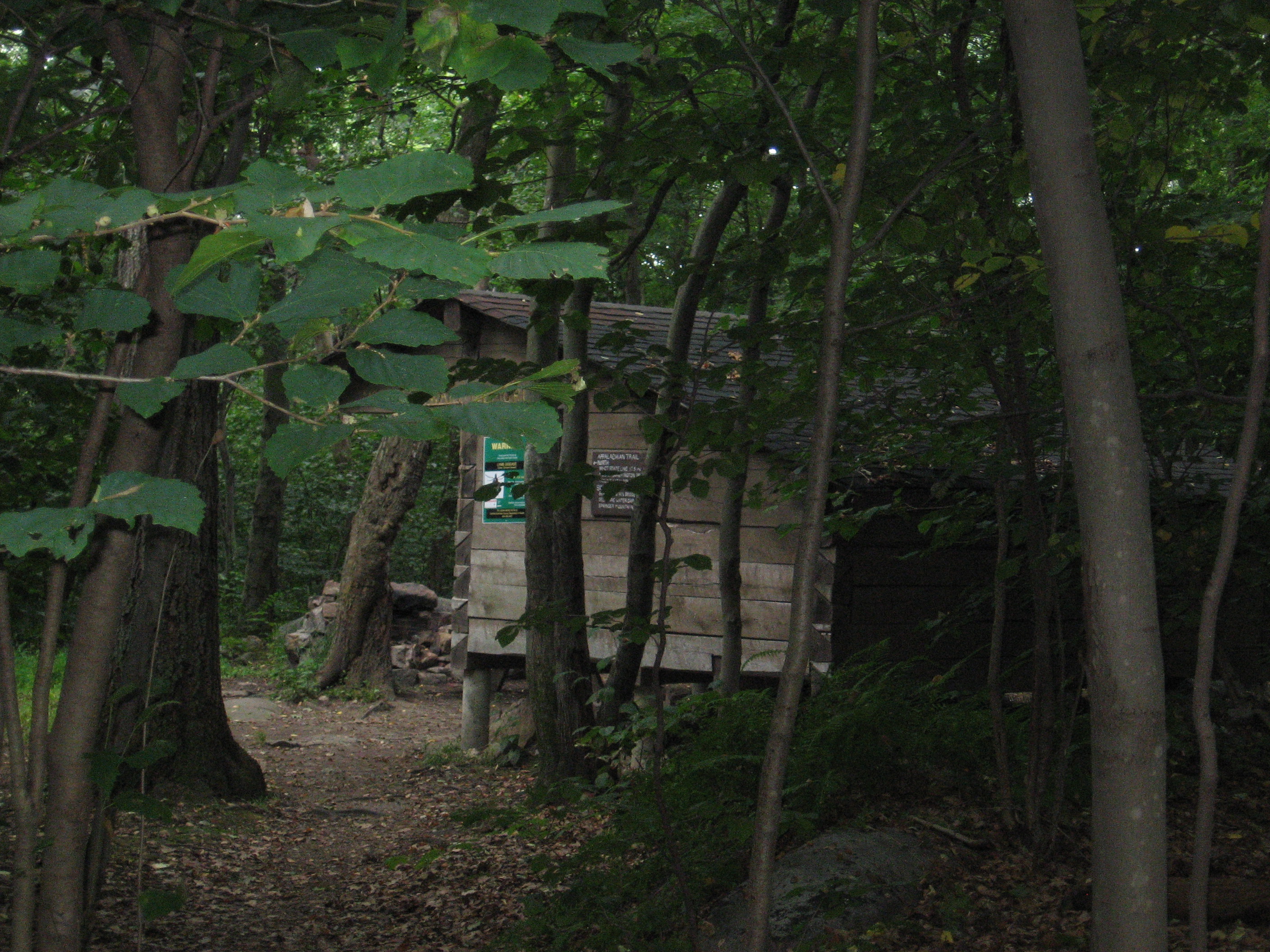
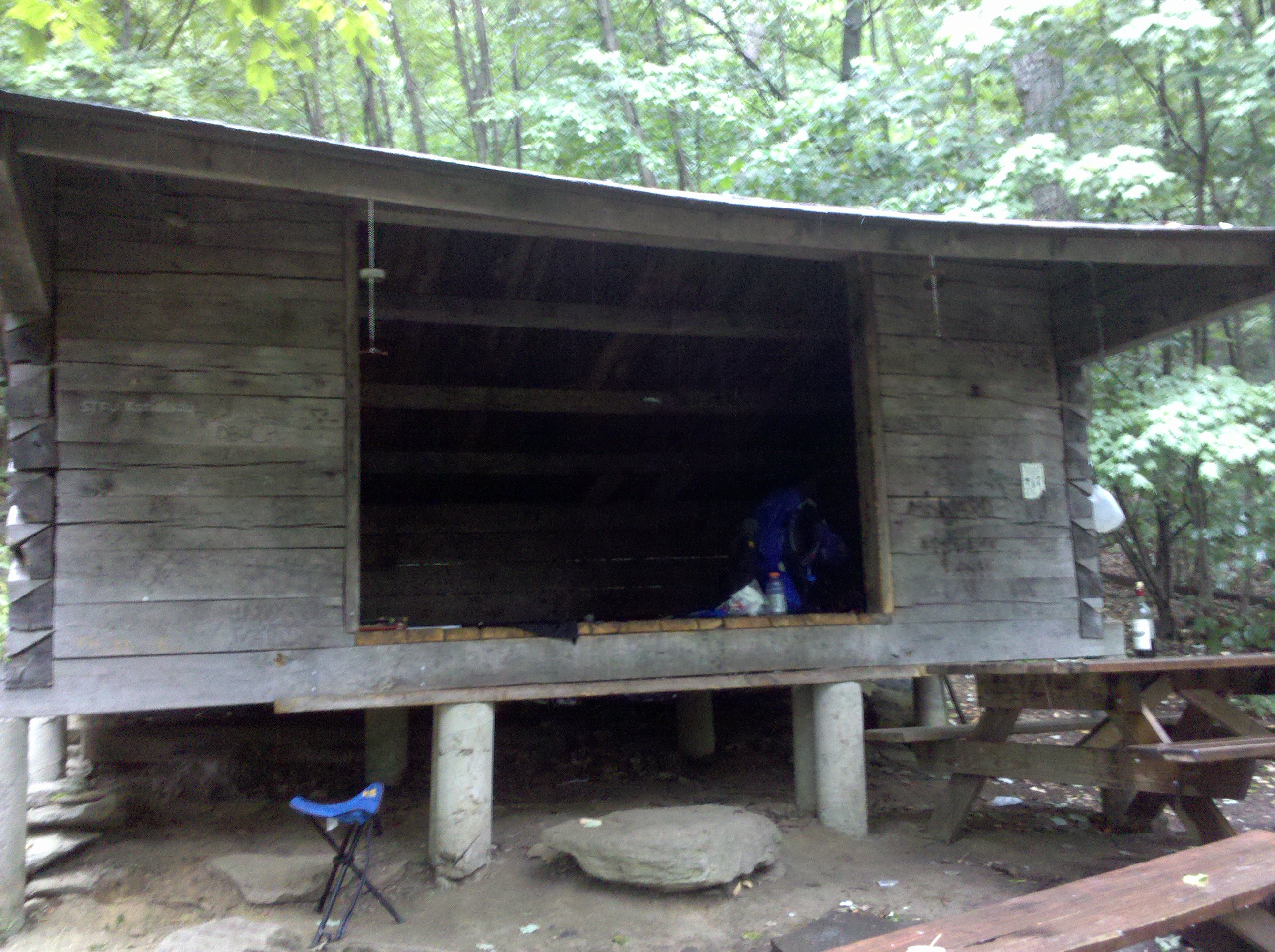
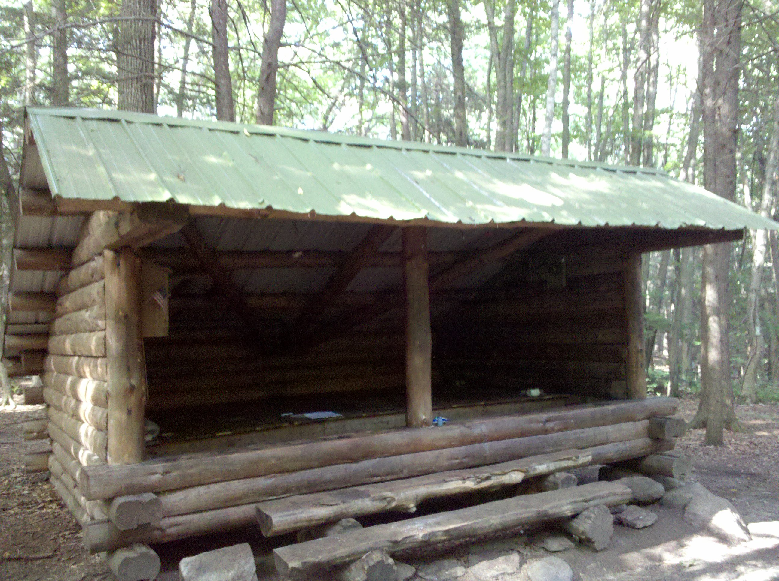
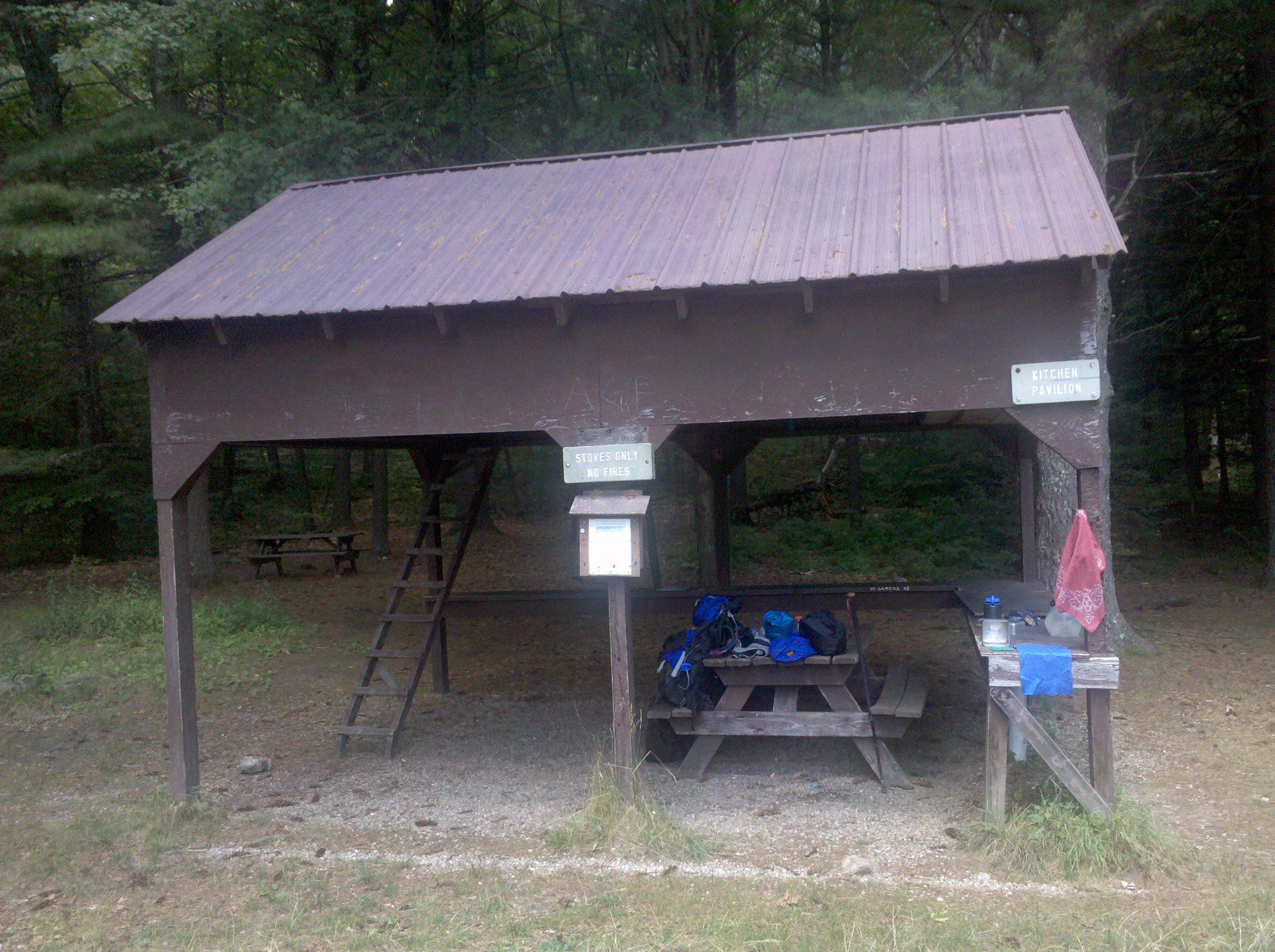
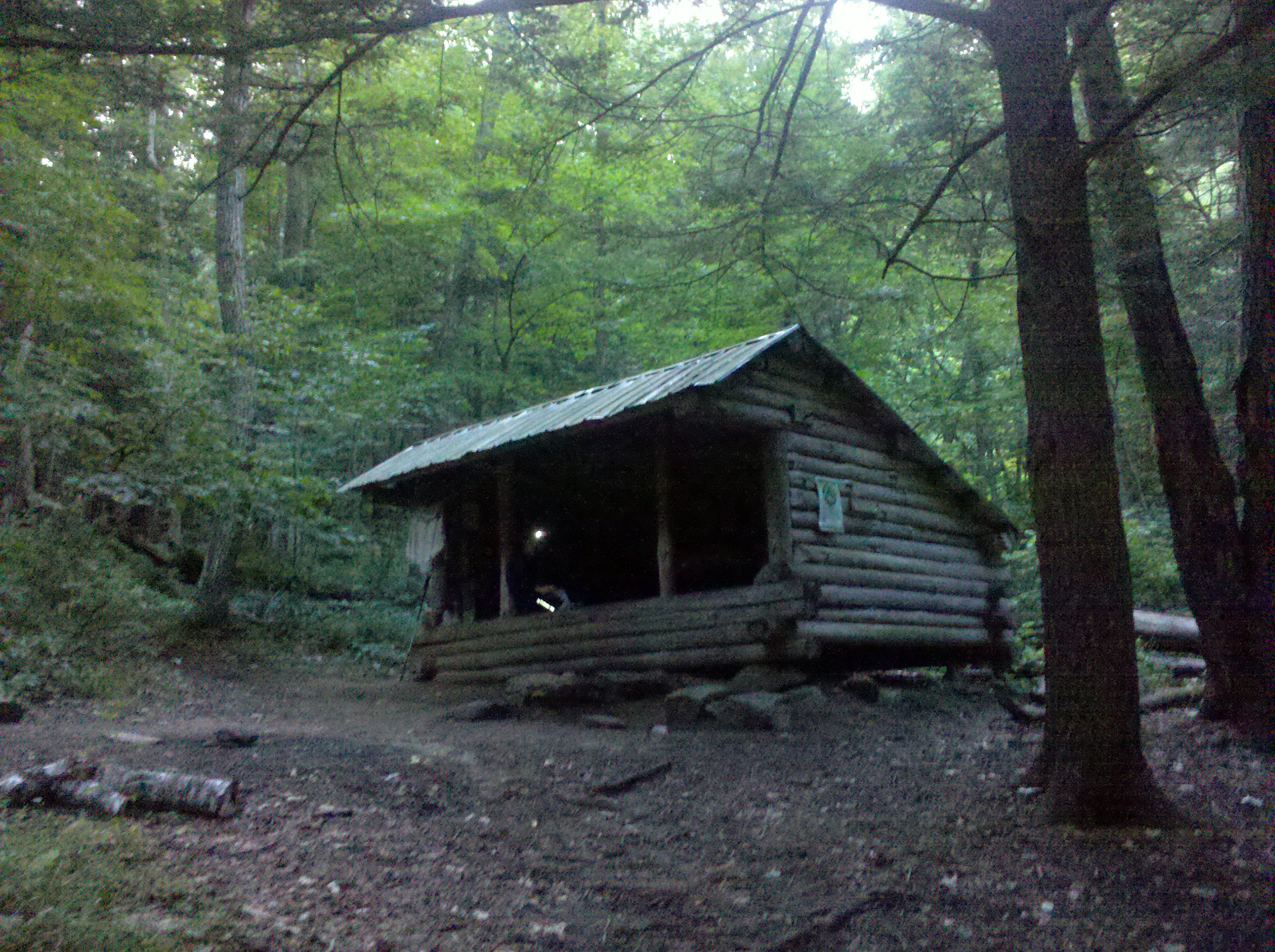
| 1428.4 | Hortontown Road RPH Shelter (350')?32.8mS; 9mN | 350 |
| 1428.7 | Taconic State Parkway (650')? underpass | 650 |
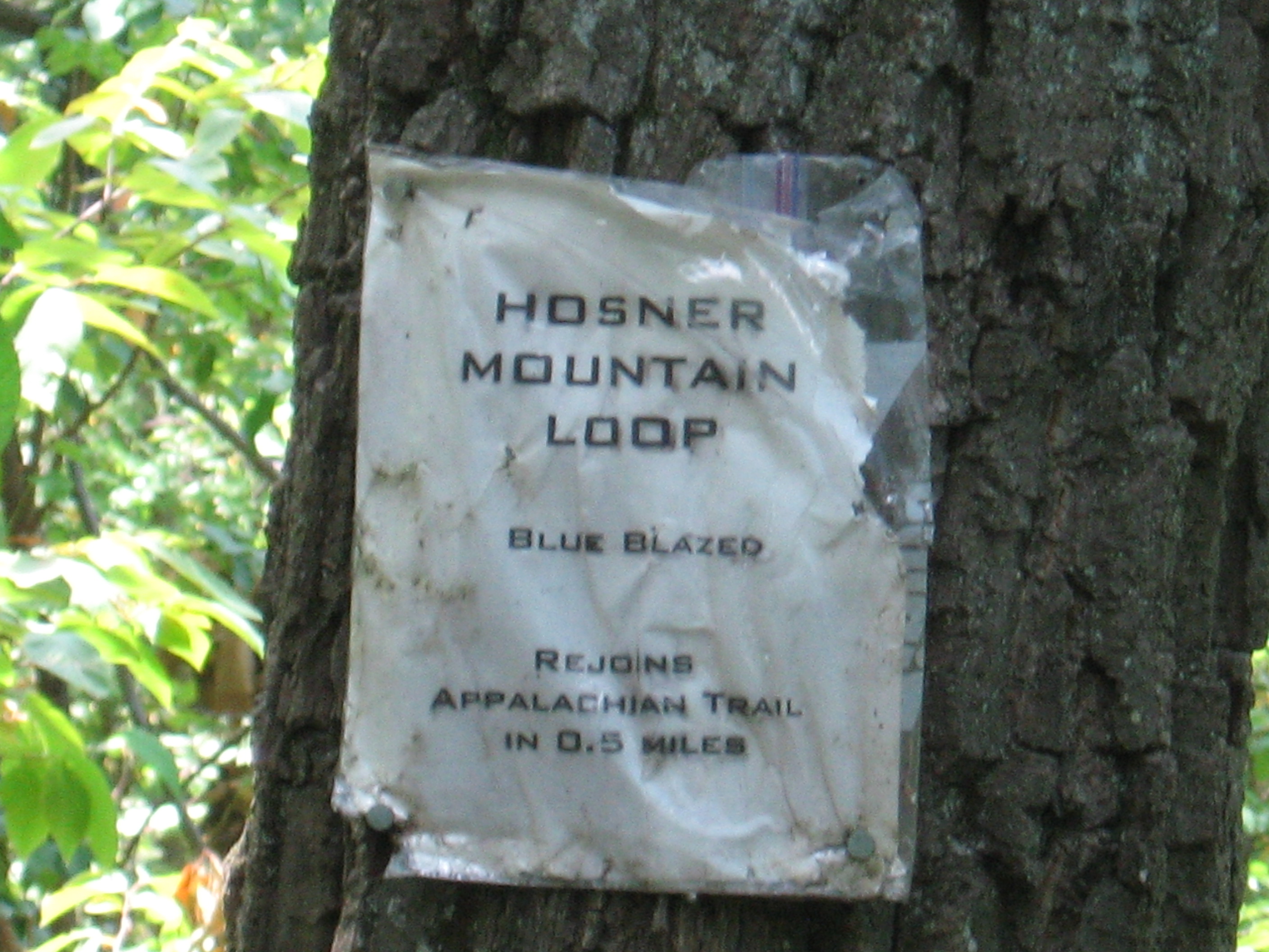
| 1431.9 | Hosner Mountain Road (500') | 500 |
| 1433.5 | N.Y. 52 (800') Stormville, N.Y. 12582 | 800 |
| 1434.9 | I-84 overpass; Stormville Mountain Road (950') | 950 |
| 1437.3 | Mt. Egbert (1,329') | 1329 |
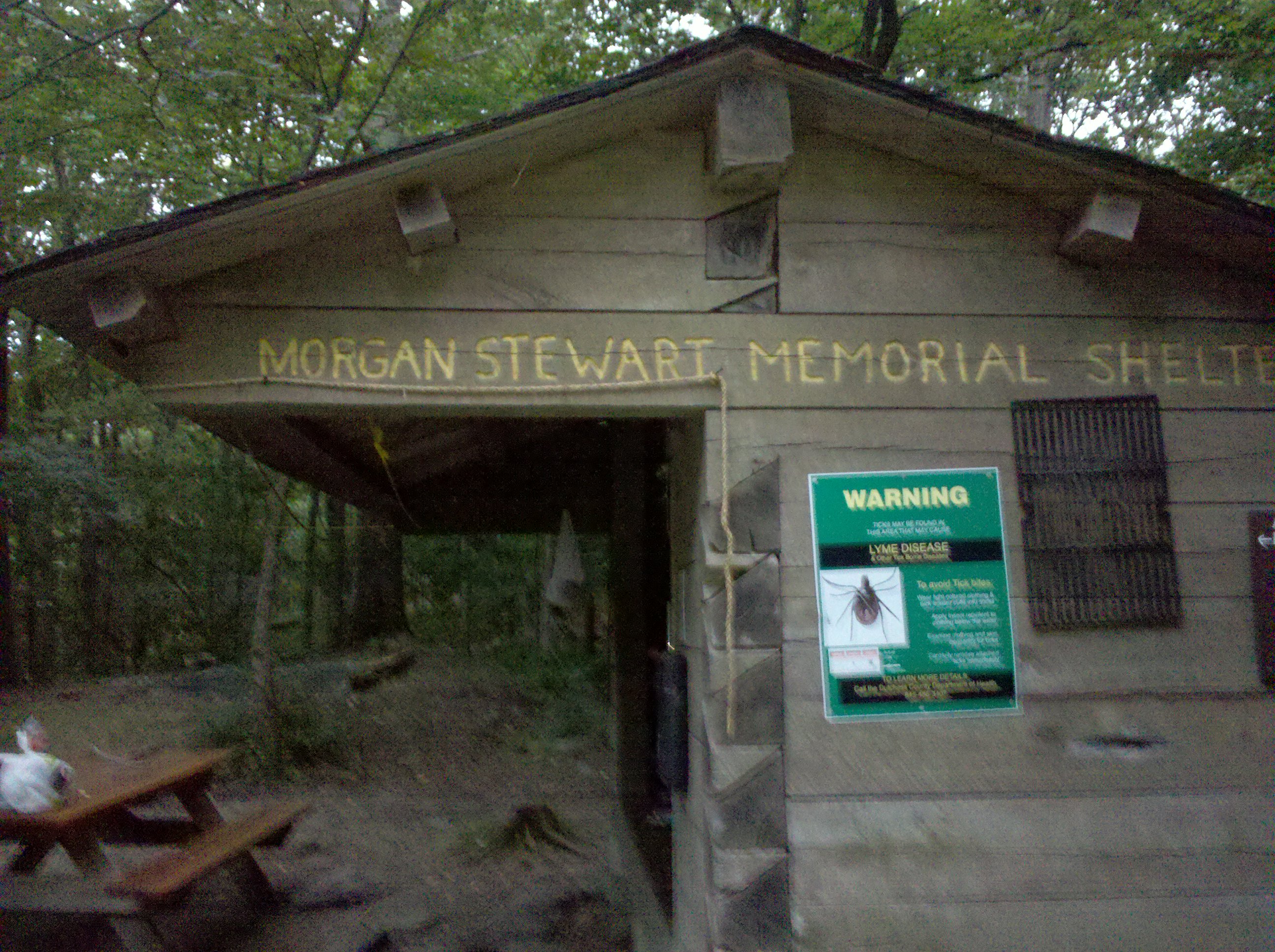
| 1437.4 | Morgan Stewart Shelter(1,285')?9mS; 7.8mN | 1285 |


| Miles from Springer | Features | Elevation |
|---|---|---|
| 1437.4 | Morgan Stewart Shelter(1,285')?9mS; 7.8mN | 1285 |
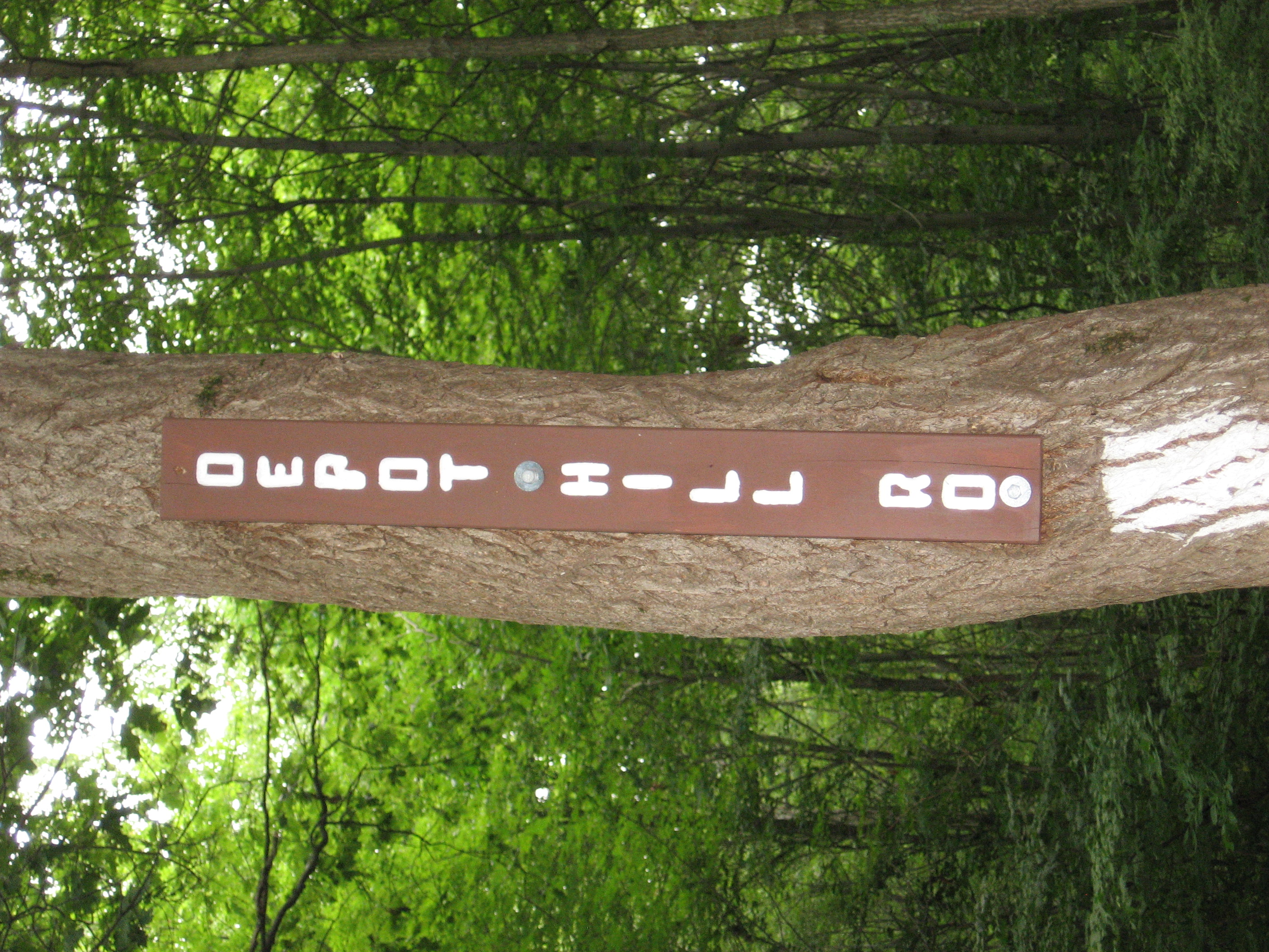
| 1438.5 | Depot Hill Road (1,230') | 1230 |
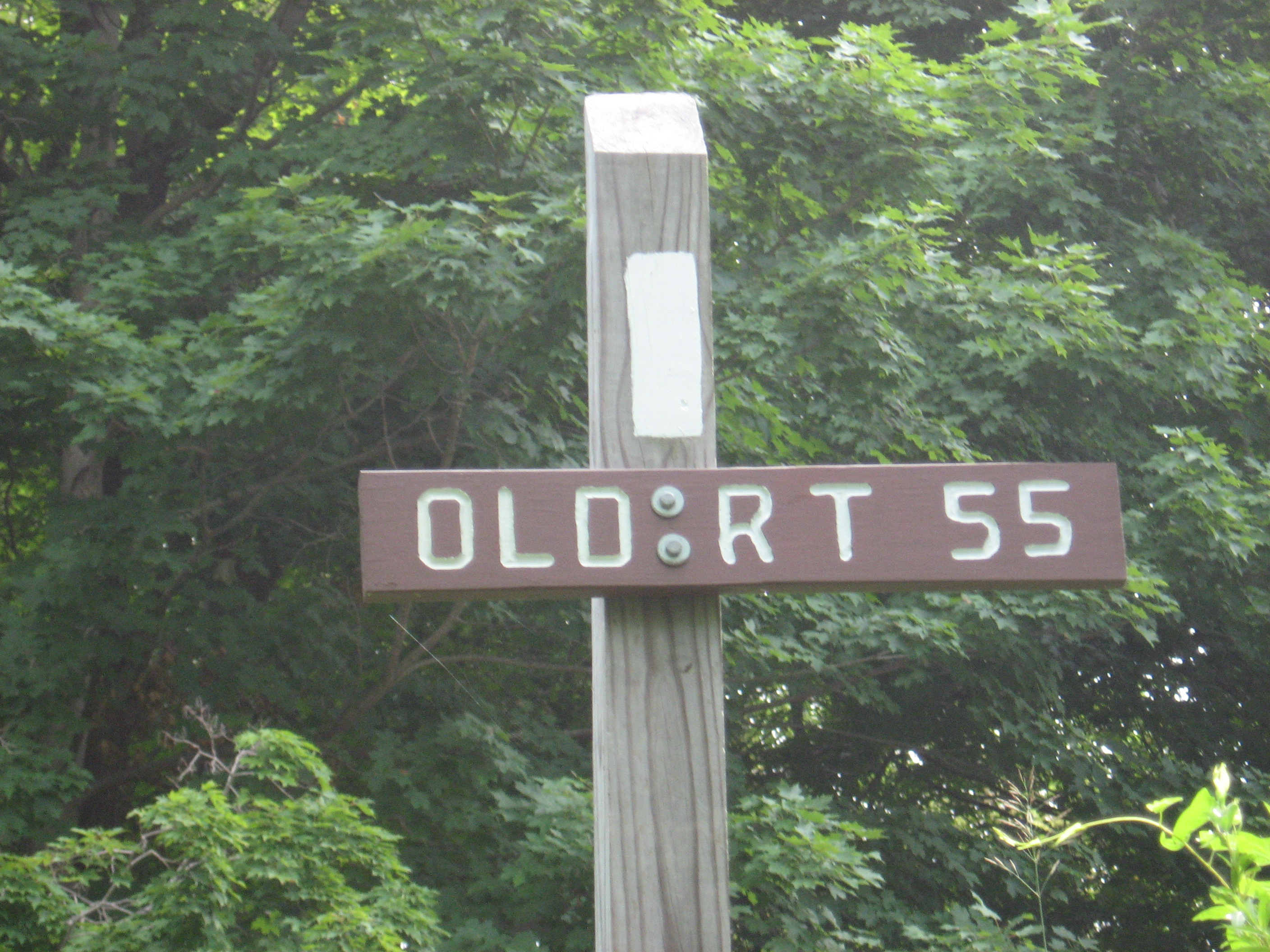
| 1440.4 | Old Route 55 (750') | 750 |
| 1440.7 | N.Y. 55 (720') Poughquag, N.Y. 12570 | 720 |
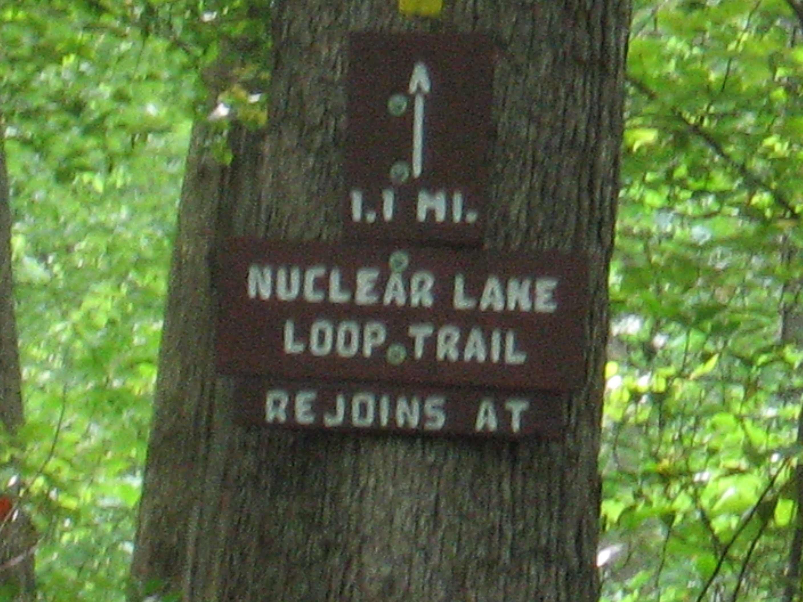
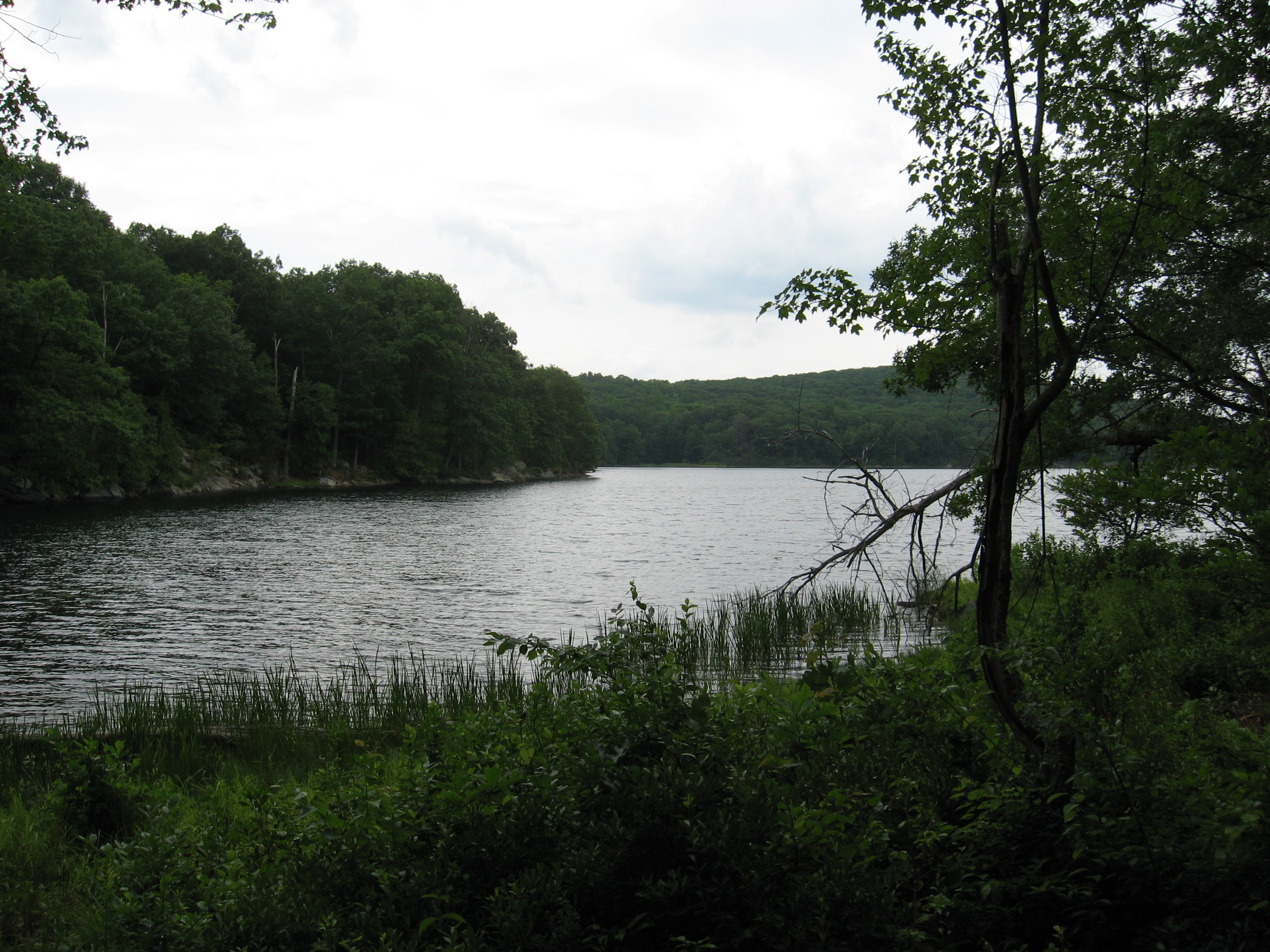
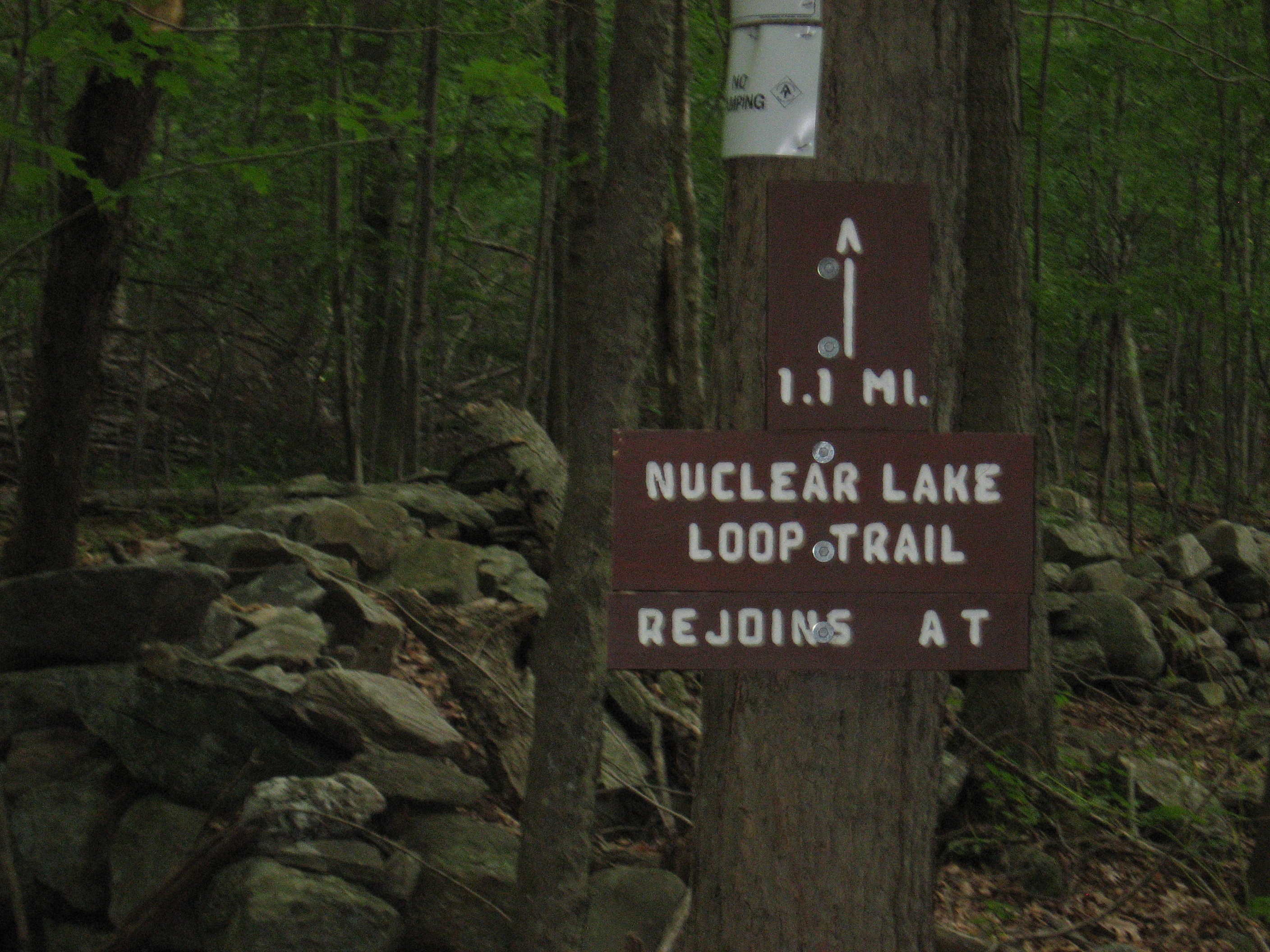
| 1441.9 | Nuclear Lake outlet (750') | 750 |
| 1444.9 | West Mountain (1,200') | 1200 |
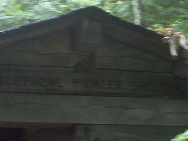
| 1445.2 | Telephone Pioneers Shelter (910') ?7.8mS; 8.8mN | 910 |


| Miles from Springer | Features | Elevation |
|---|---|---|
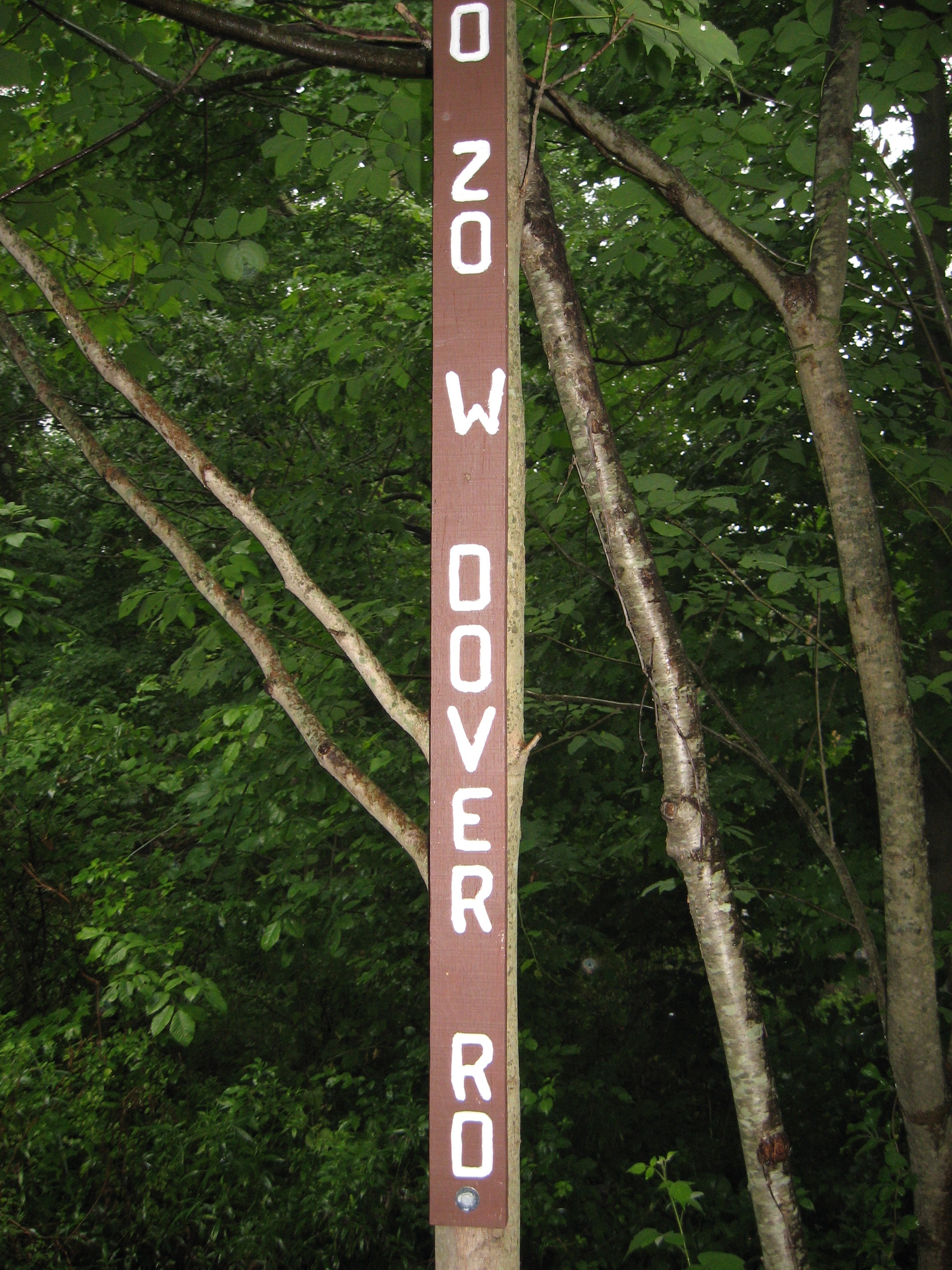
| 1445.9 | County Road 20, West Dover Road, Dover Oak (650') Pawling, N.Y. 12564 | 650 |
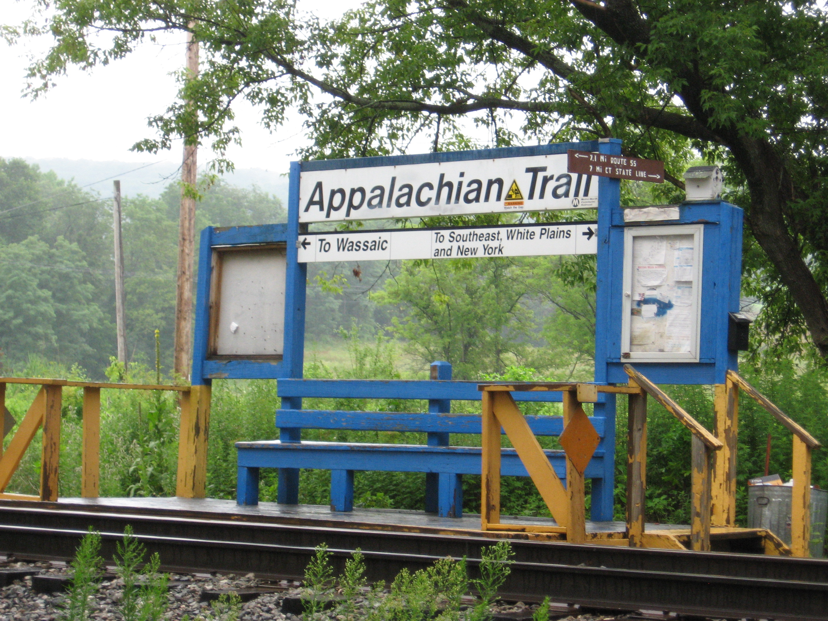
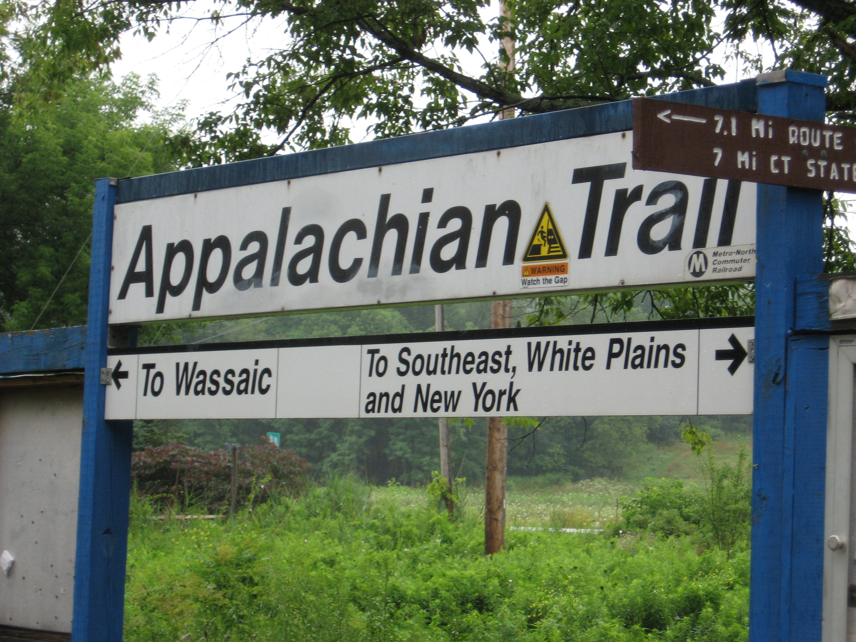
| 1448.3 | N.Y. 22, Appalachian Trail Metro?North Train Platform (480') | 480 |
| 1448.5 | Hurds Corners Road (480') | 480 |
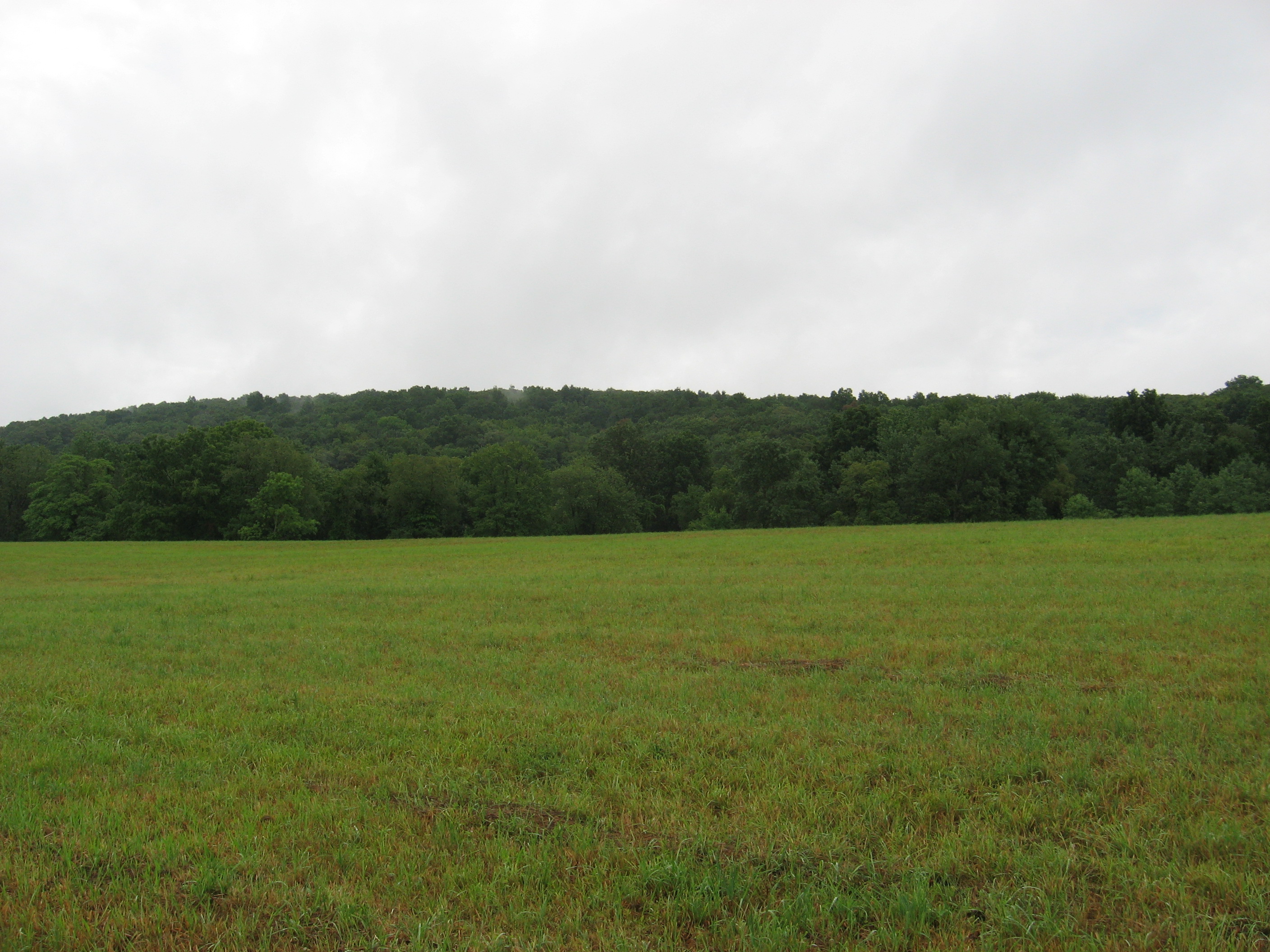
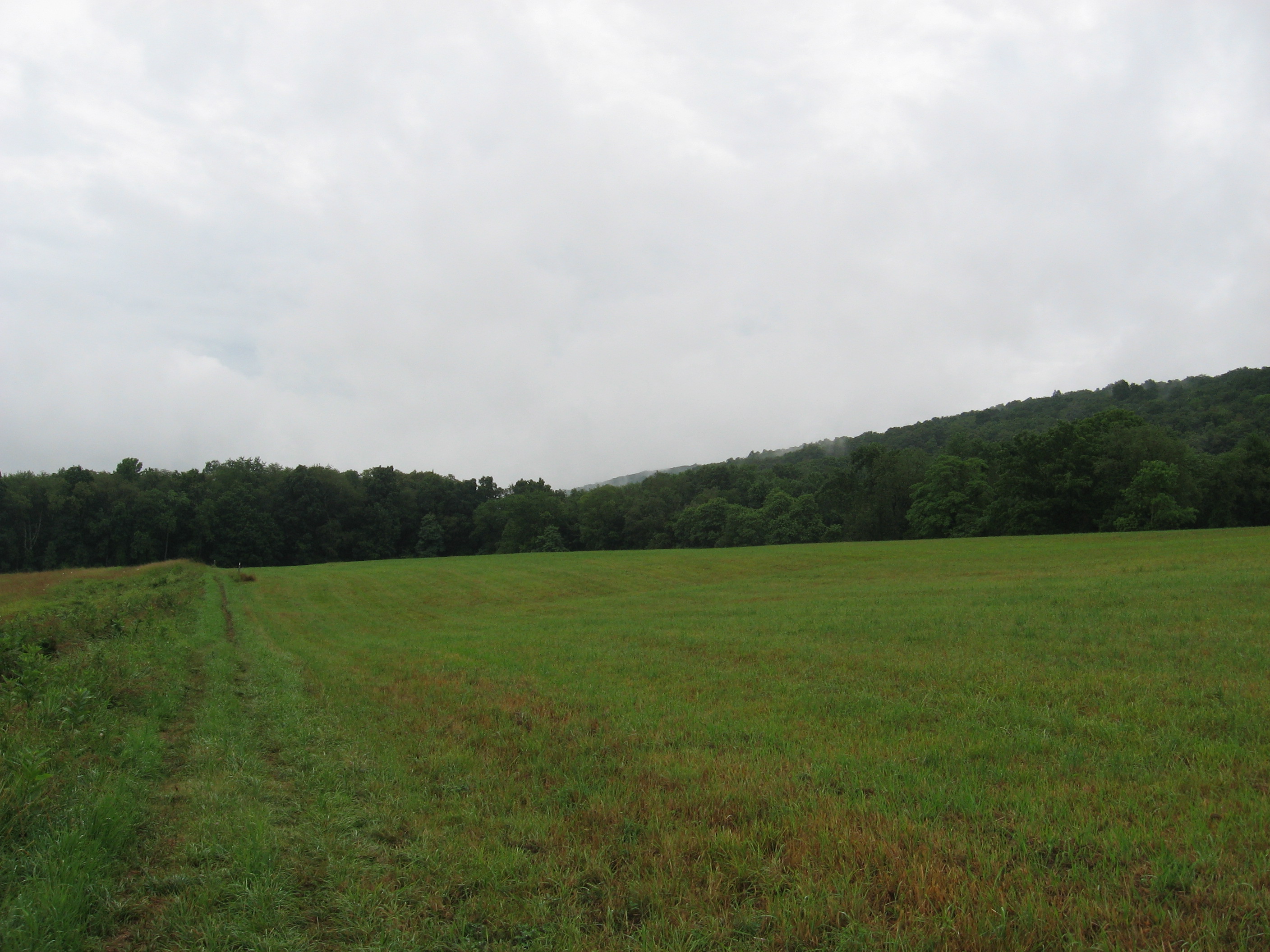
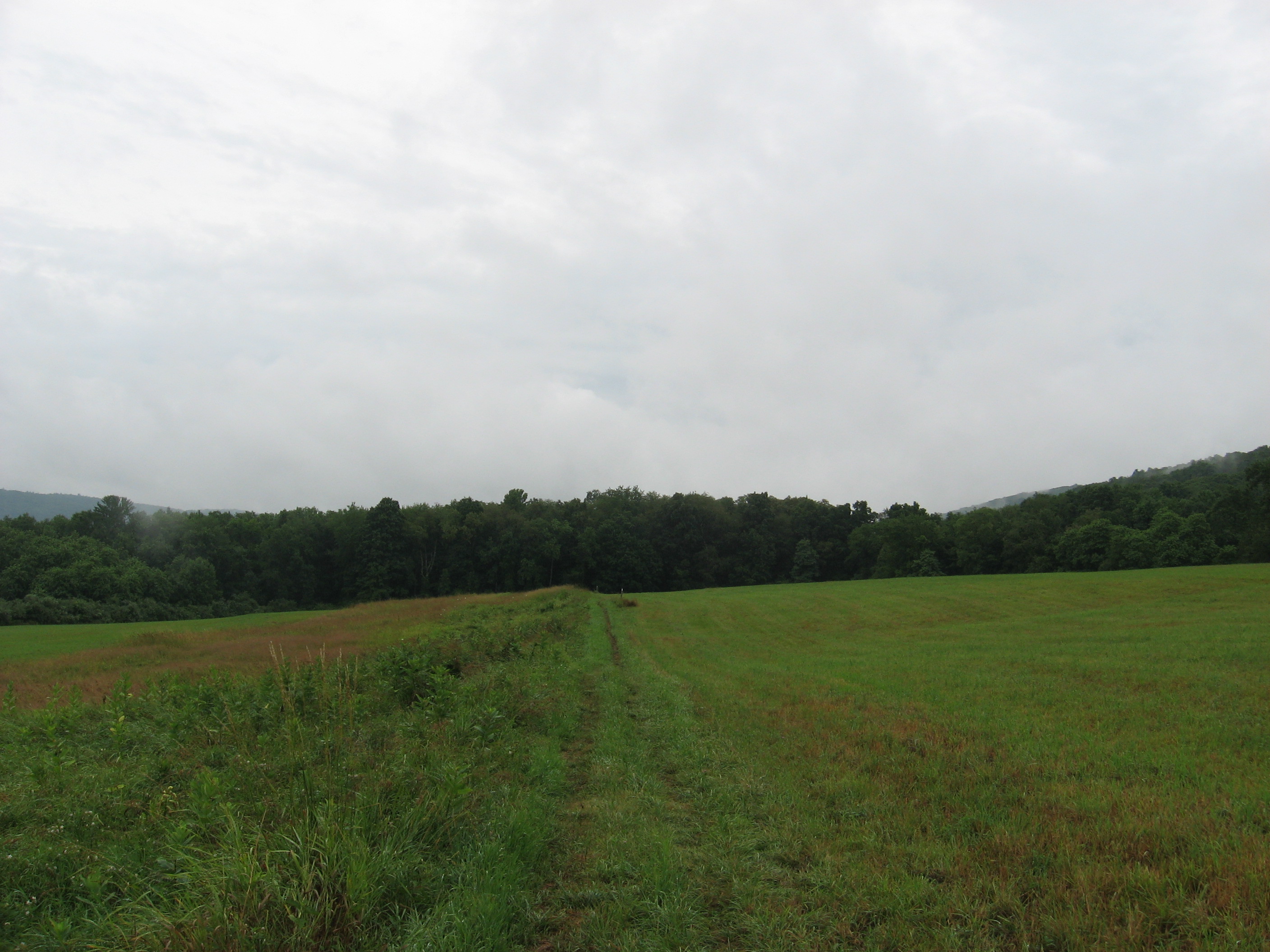
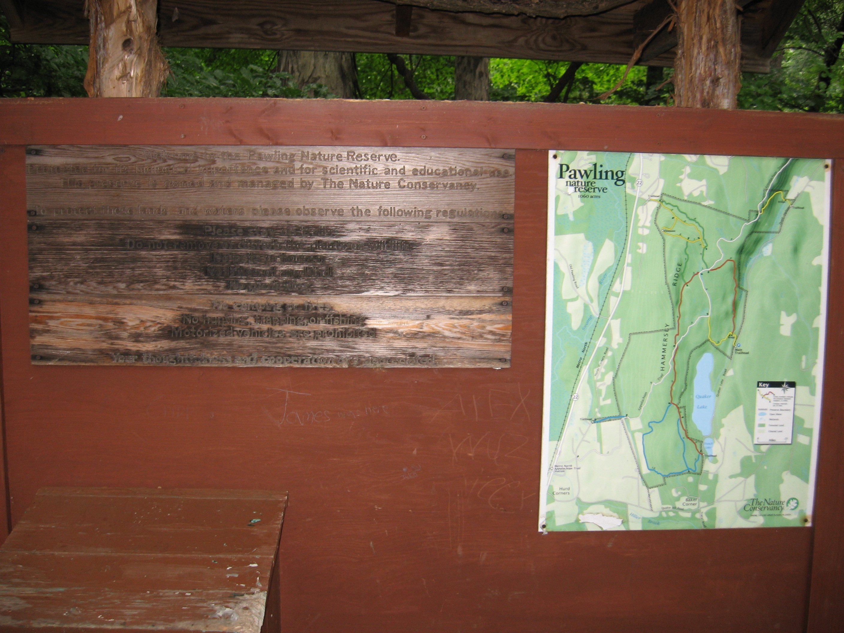
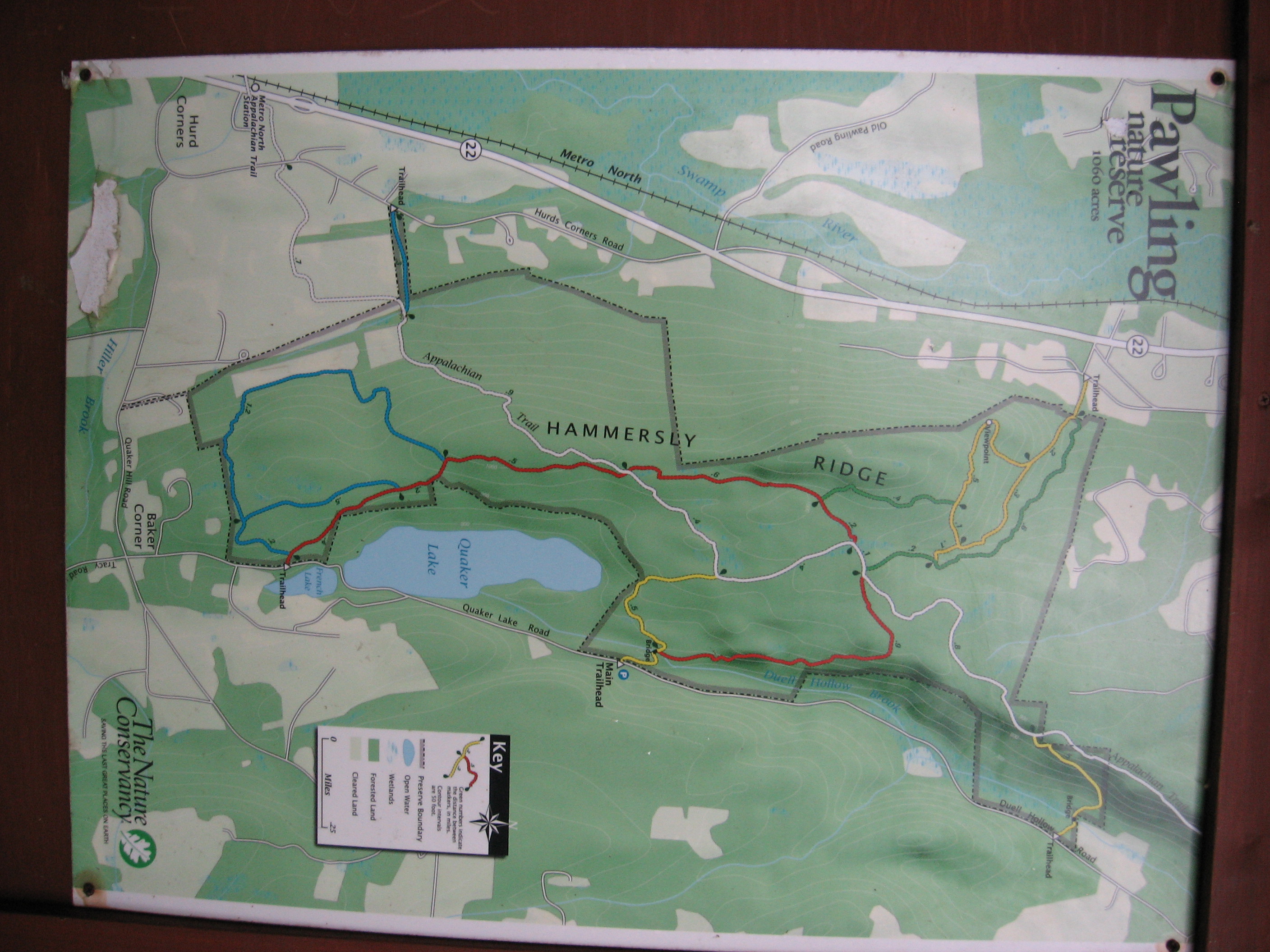
| 1449.1 | Pawling Nature Preserve (675')?trail register | 675 |
| 1453.6 | Leather Hill Road (750')?dirt | 750 |
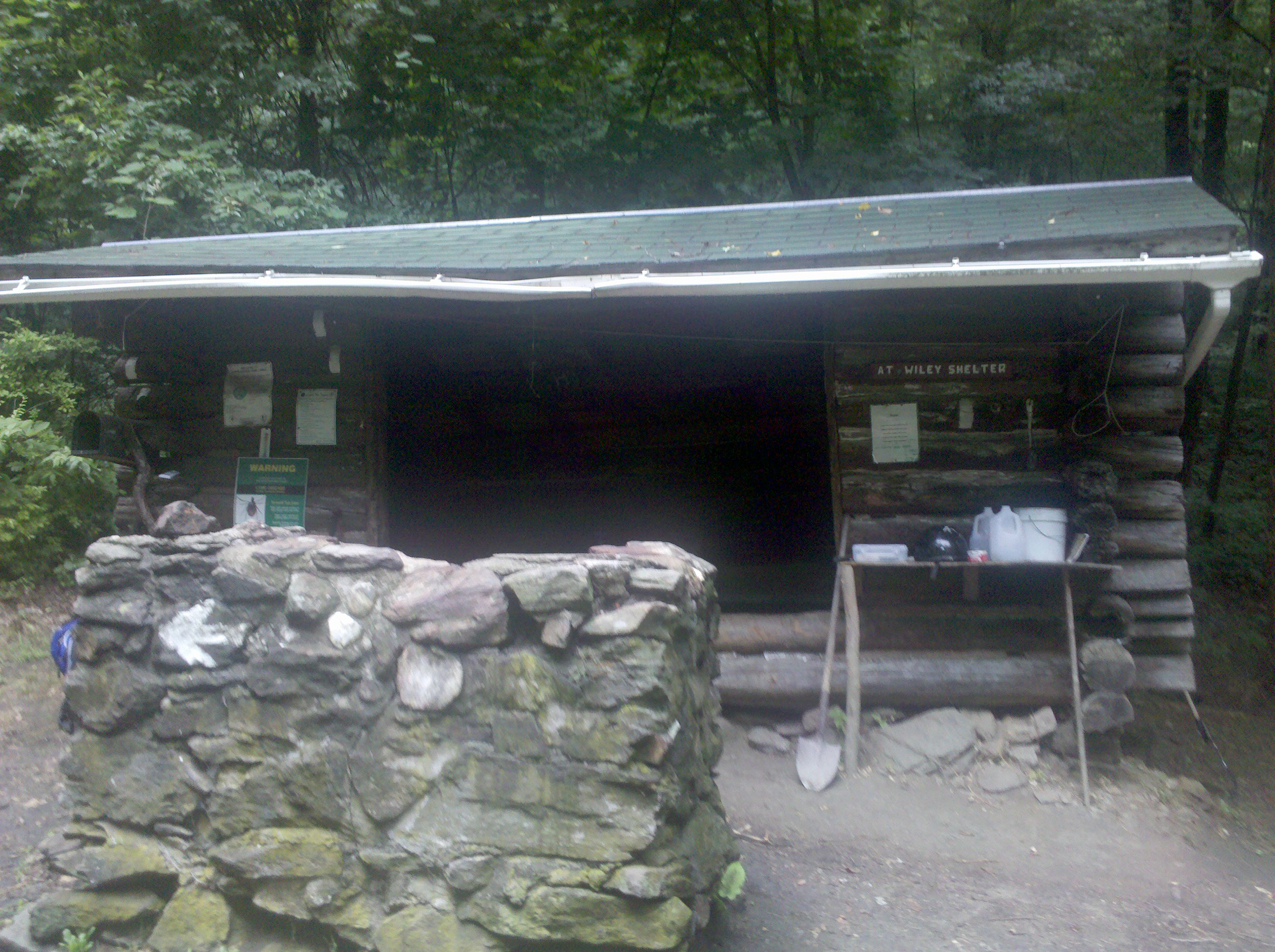
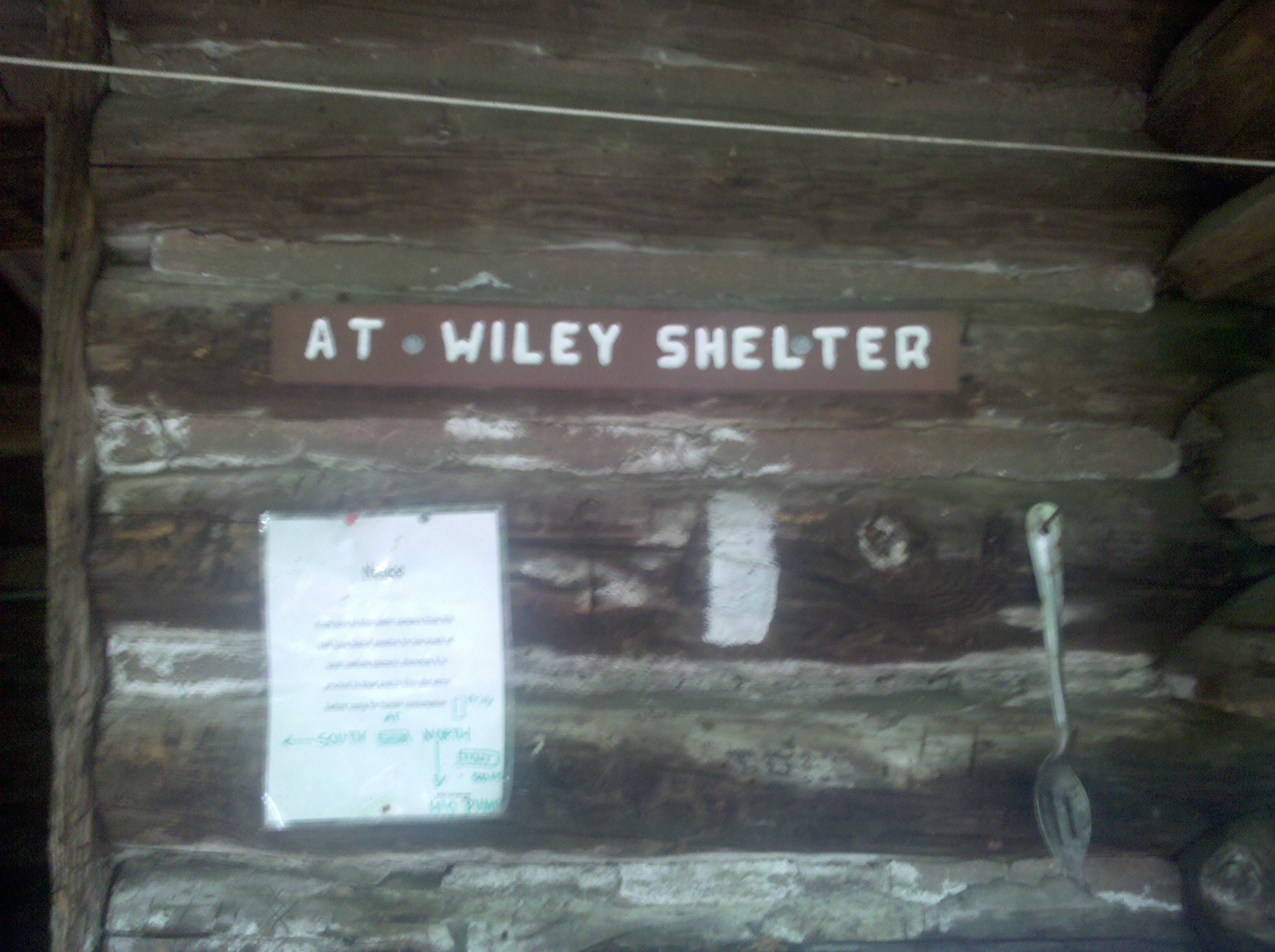
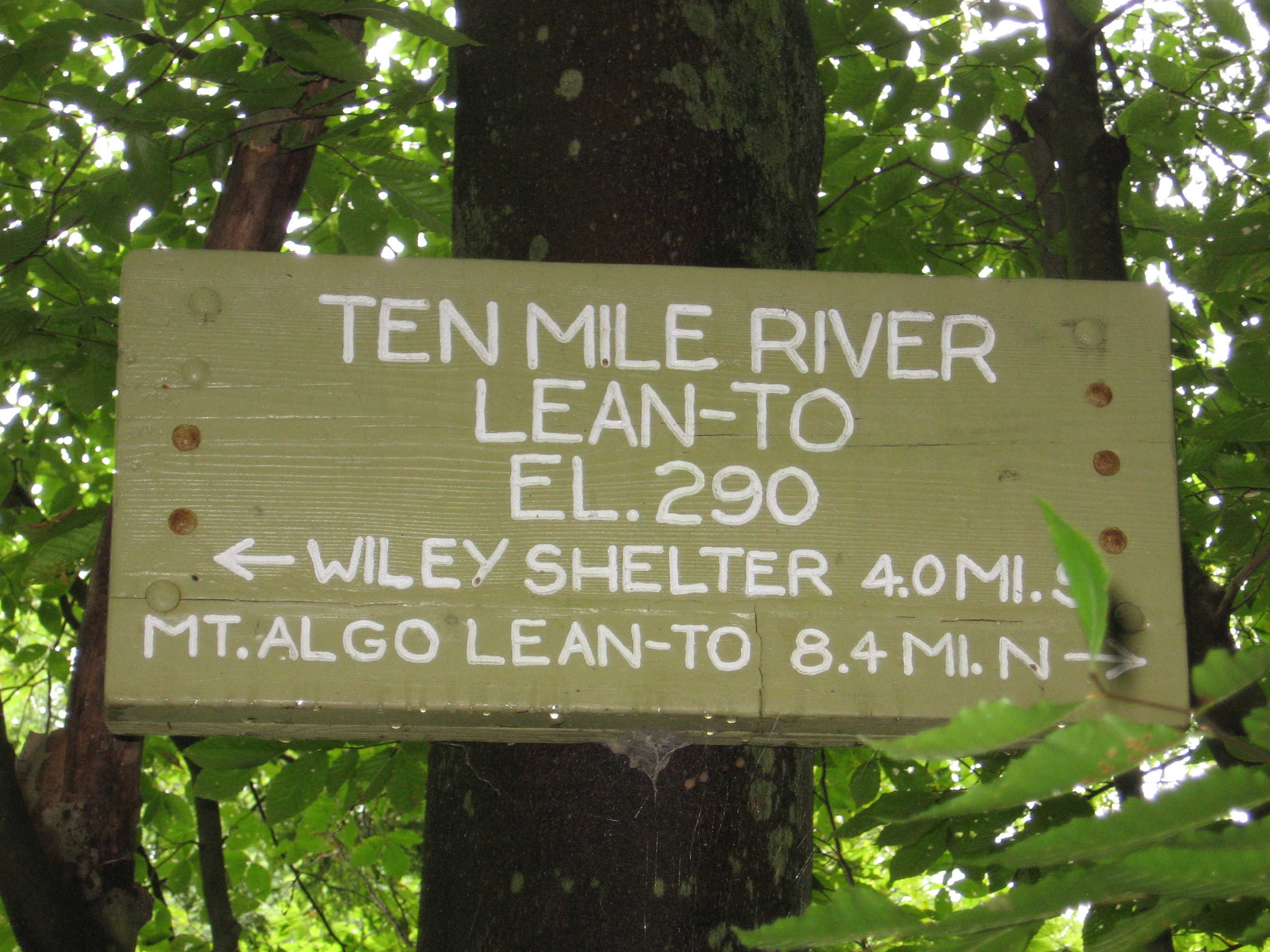
| 1454 | Wiley Shelter (740')?8.8mS; 4mN | 740 |
| 1454.2 | Duell Hollow Road (620') | 620 |
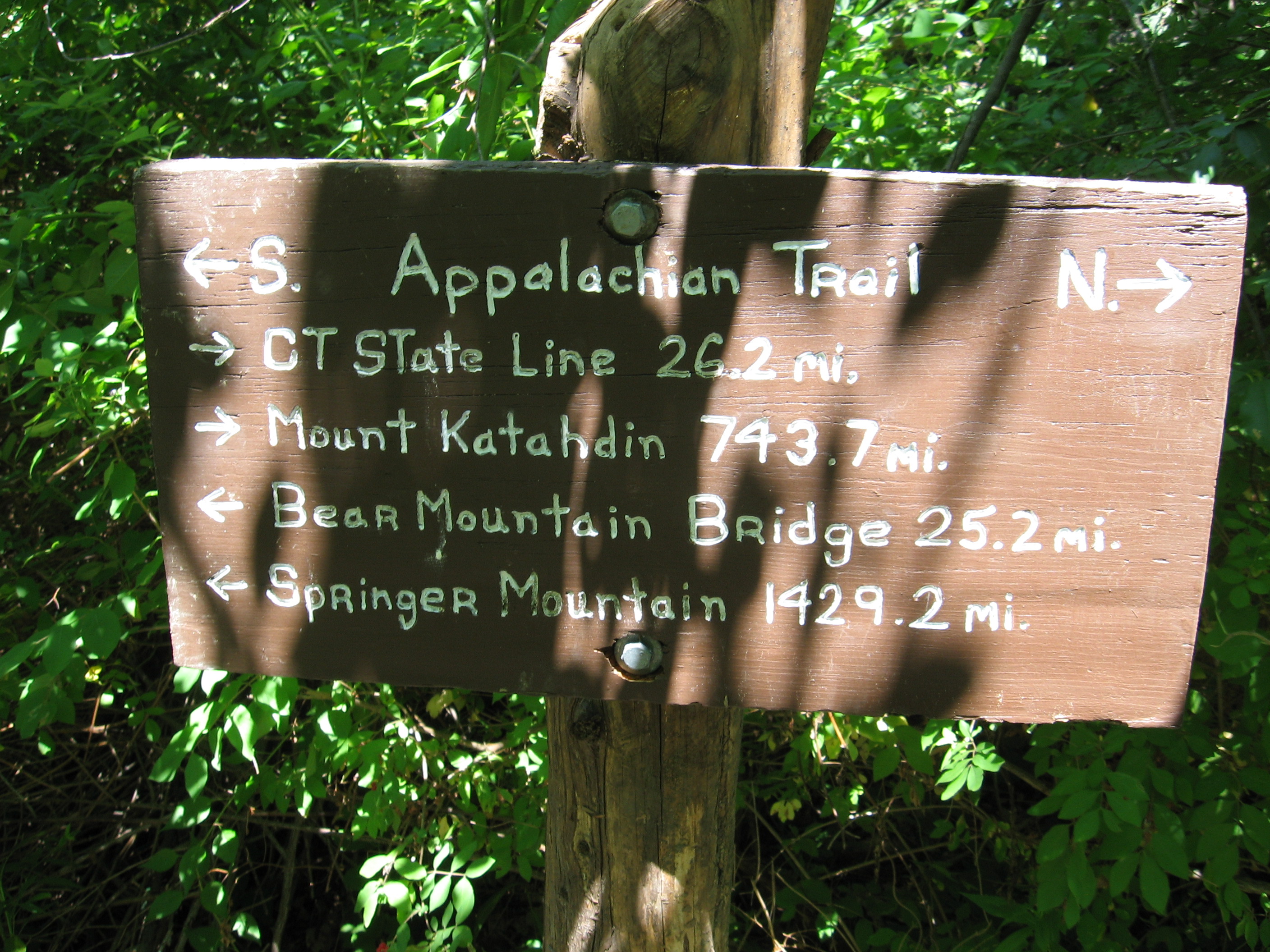
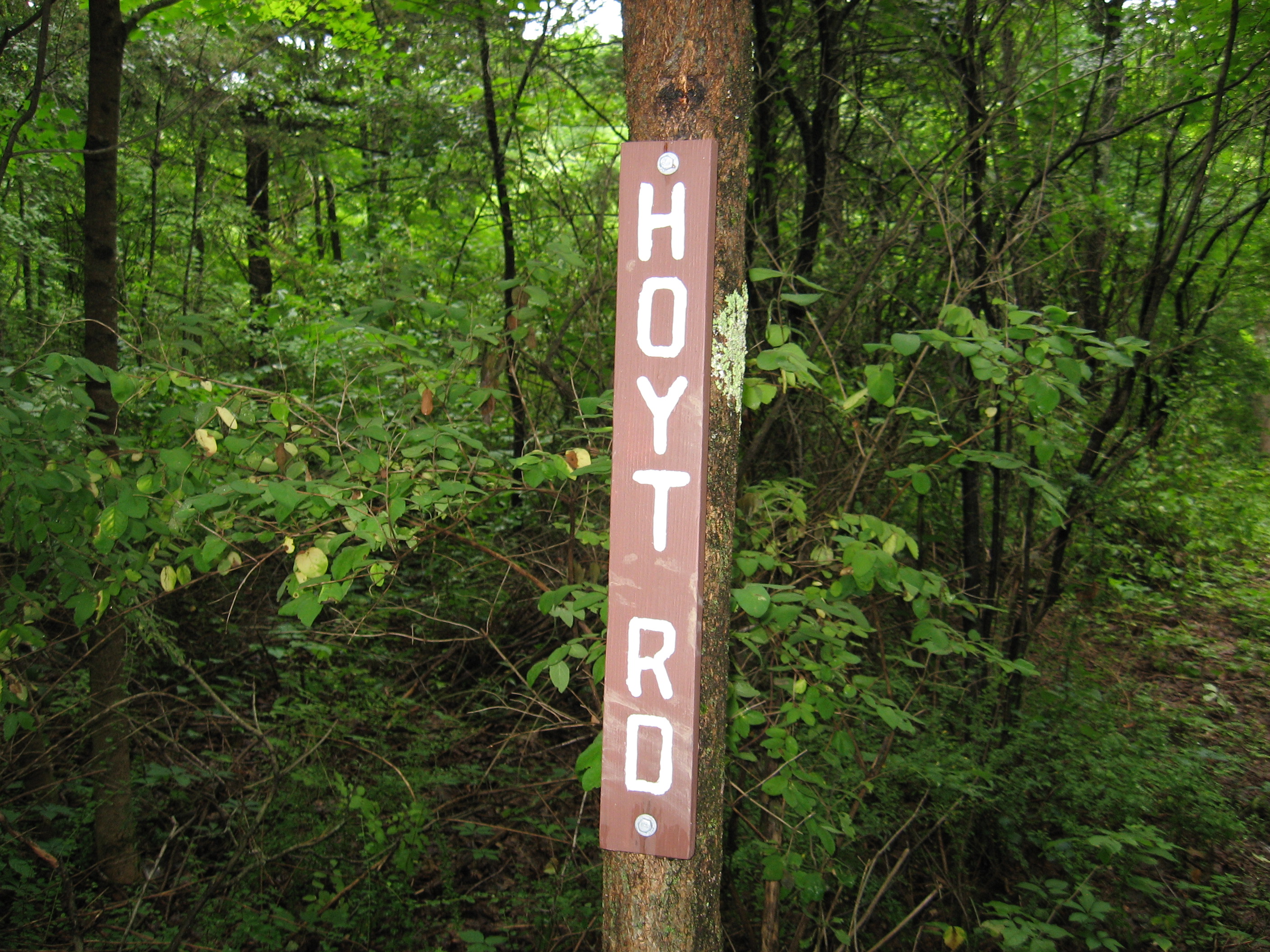
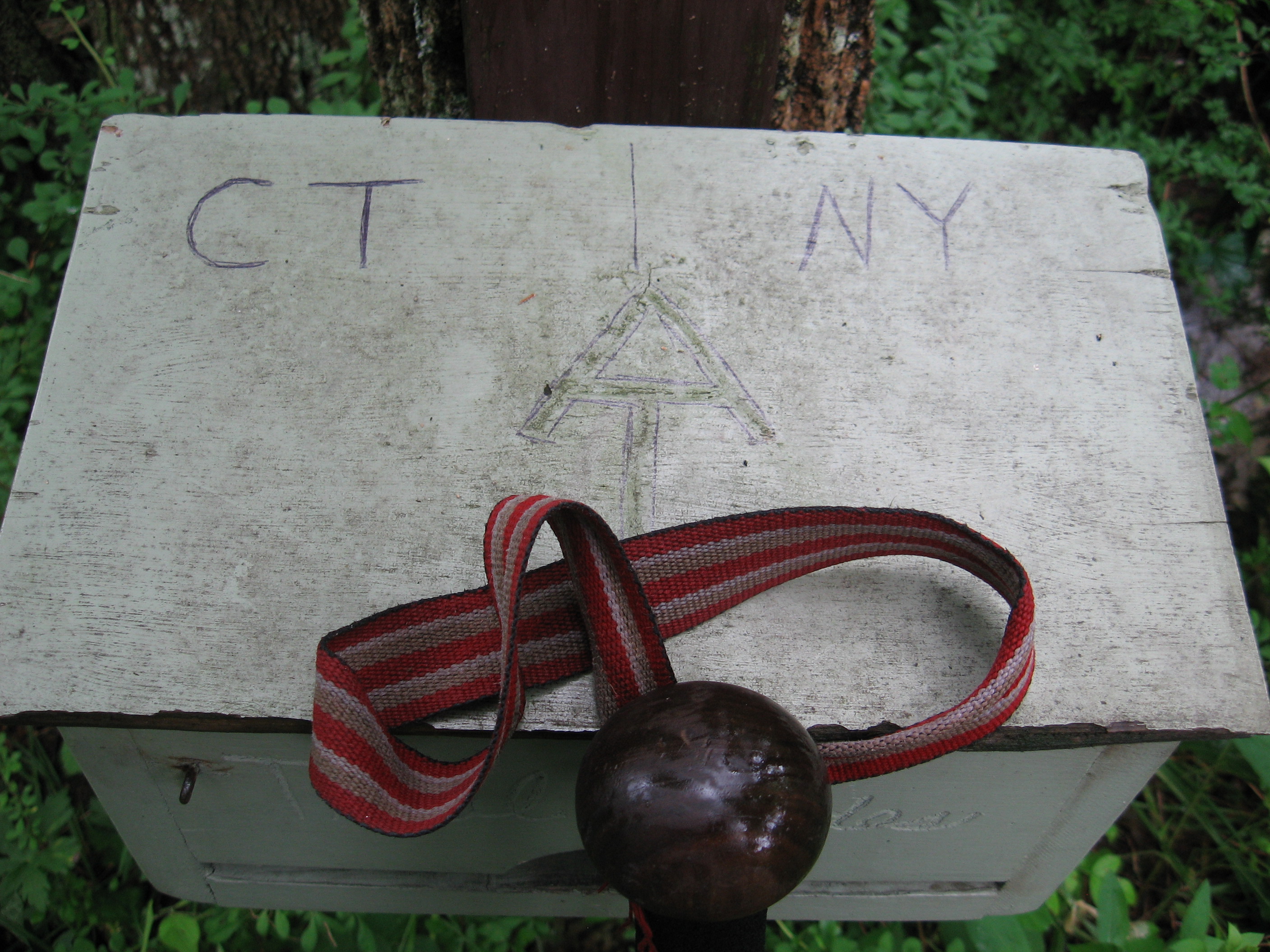
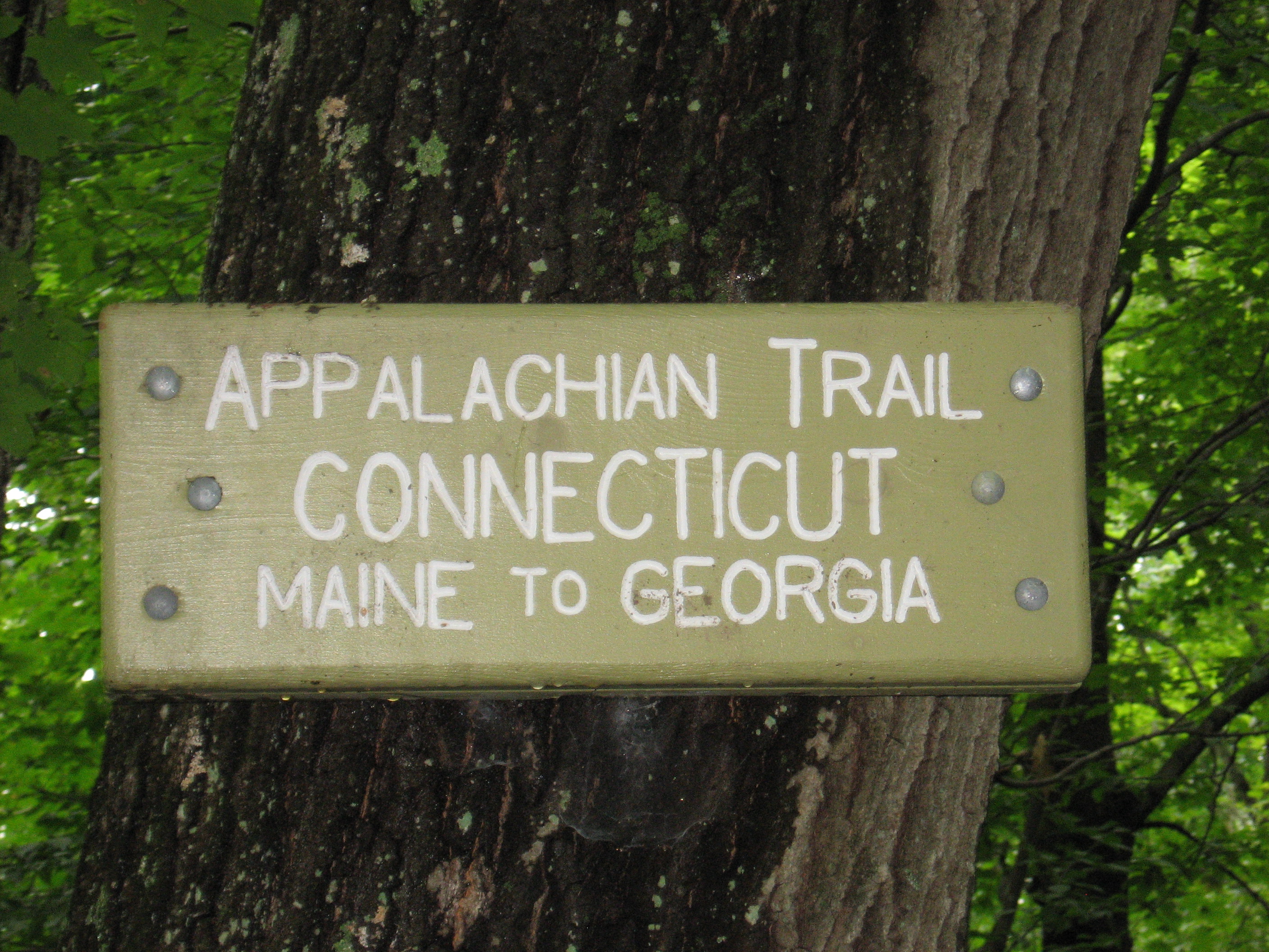
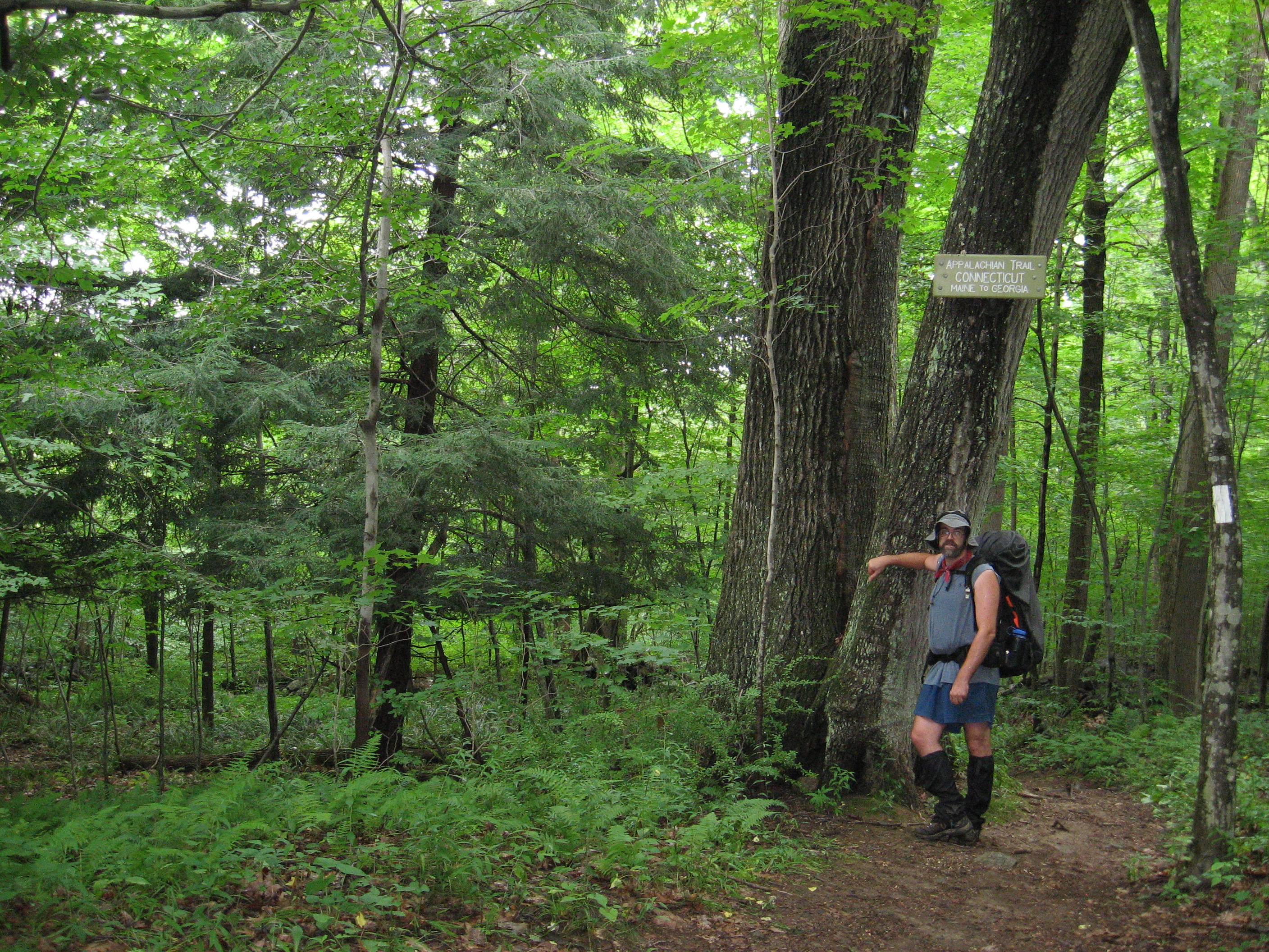
| 1455.2 | New York?Connecticut State Line (400')Hoyt Road Wingdale, N.Y. 12594 | 400 |
| 1455.9 | Conn. 55 (580') Gaylordsville, Conn. 06755 | 580 |
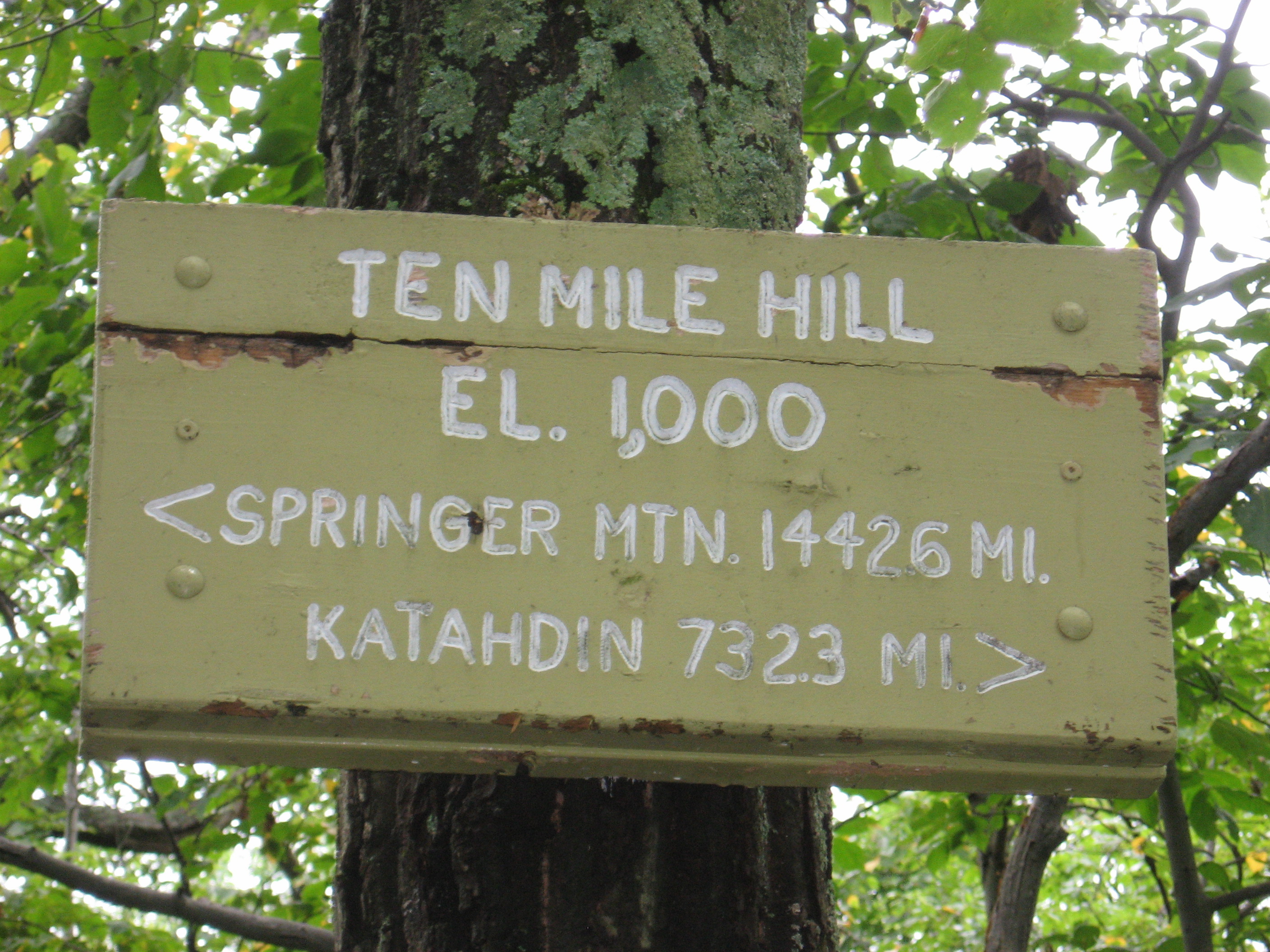
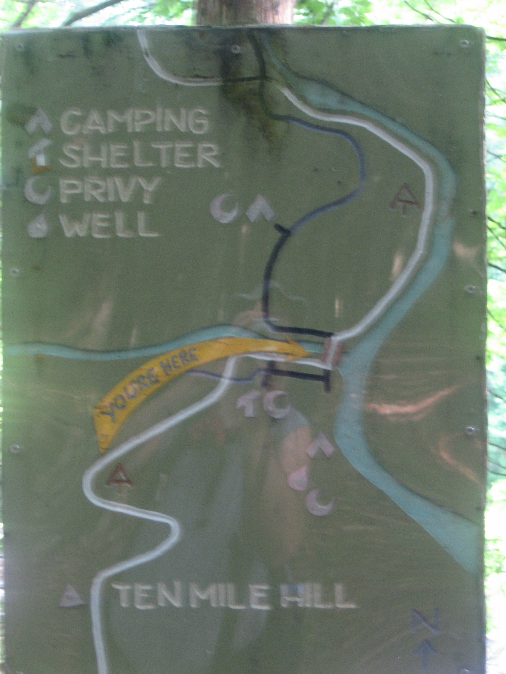
| 1457 | Ten Mile Hill (1,000') | 1000 |
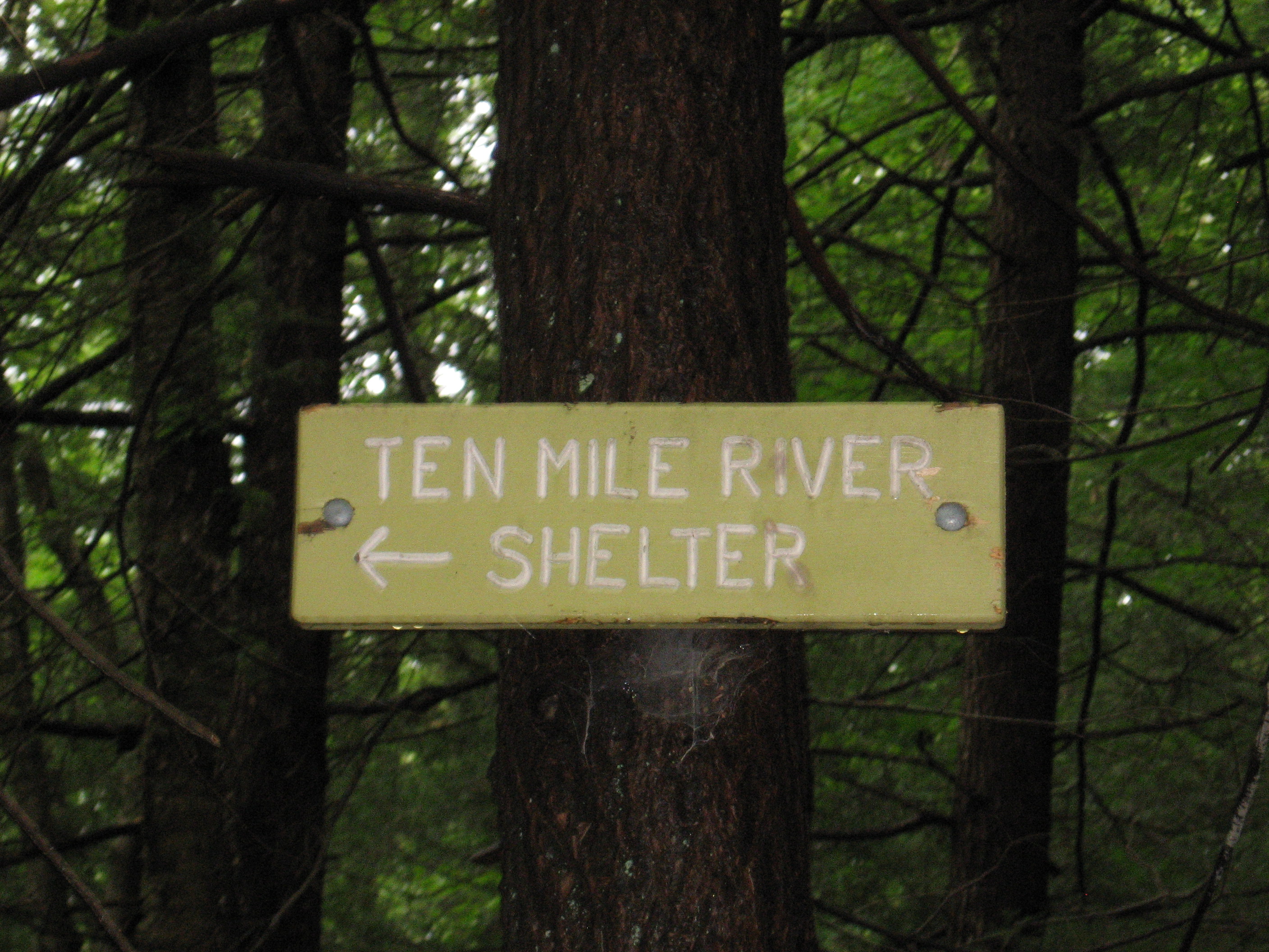
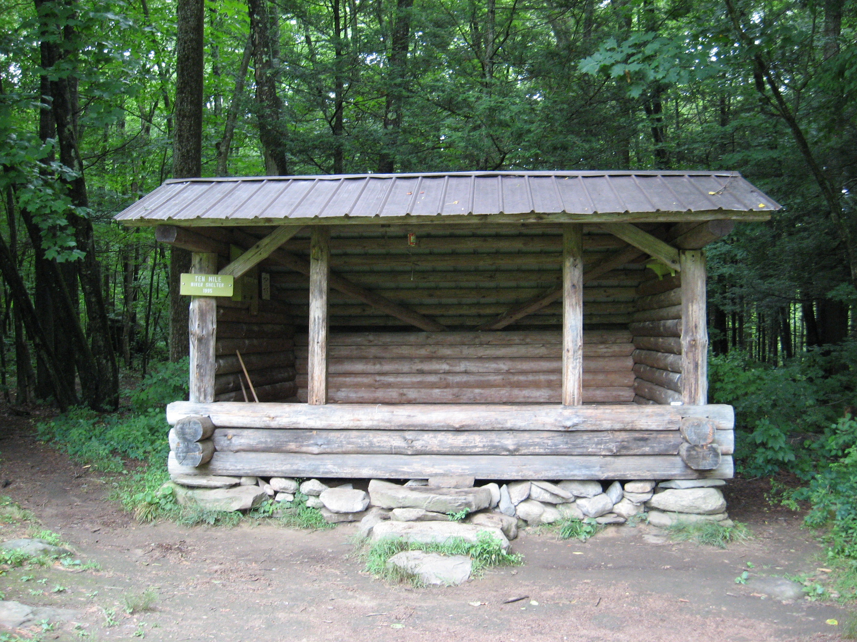
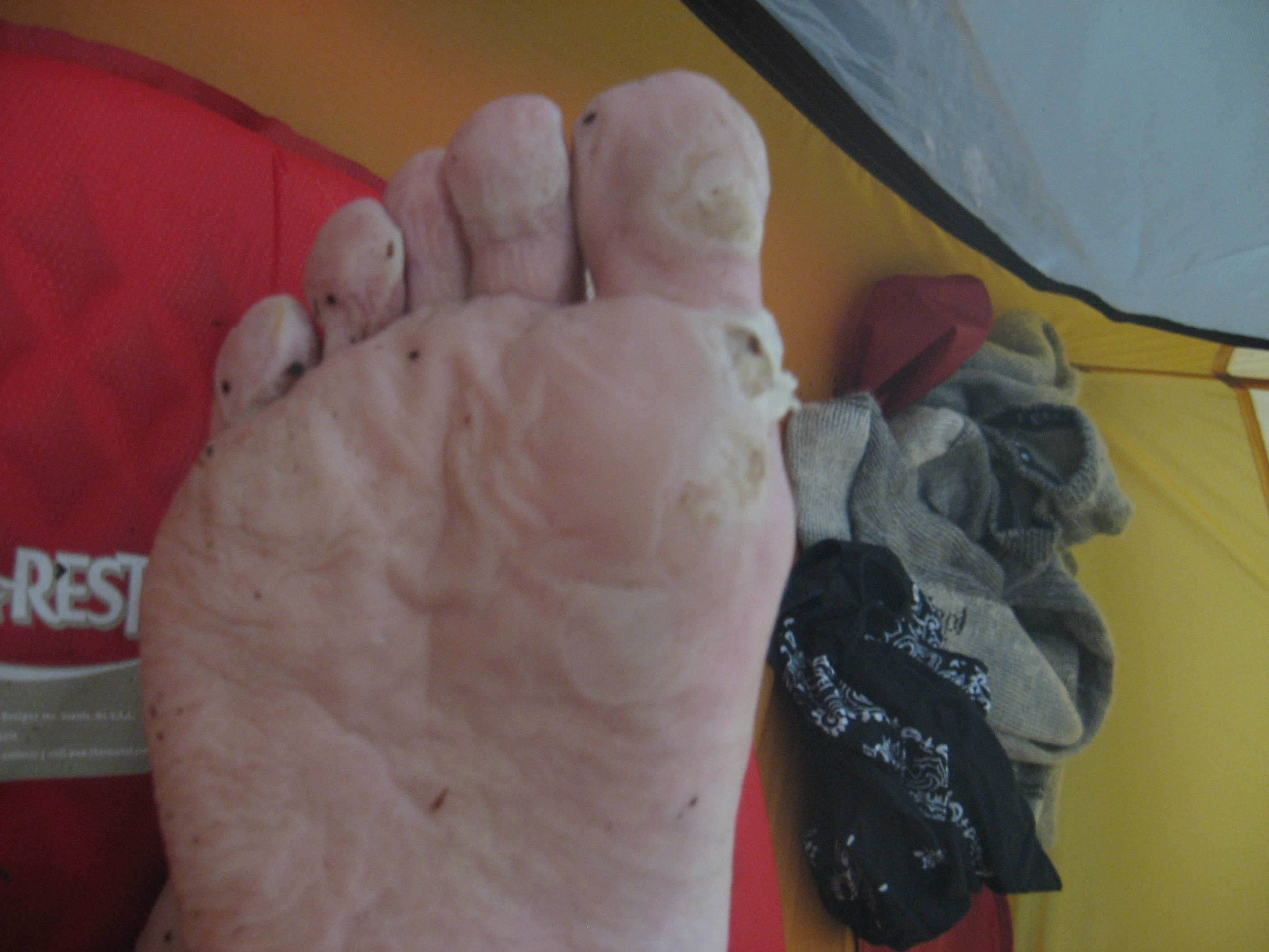
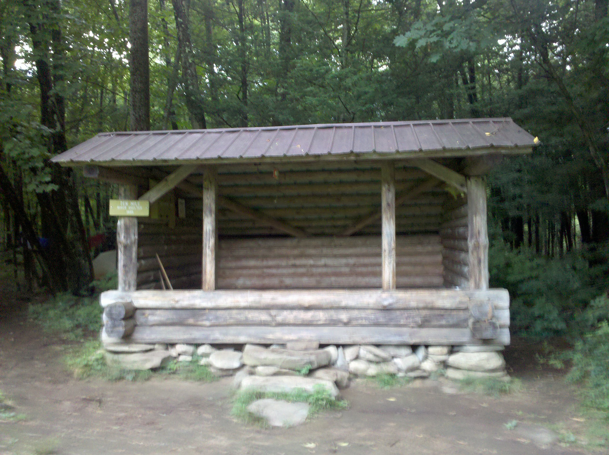
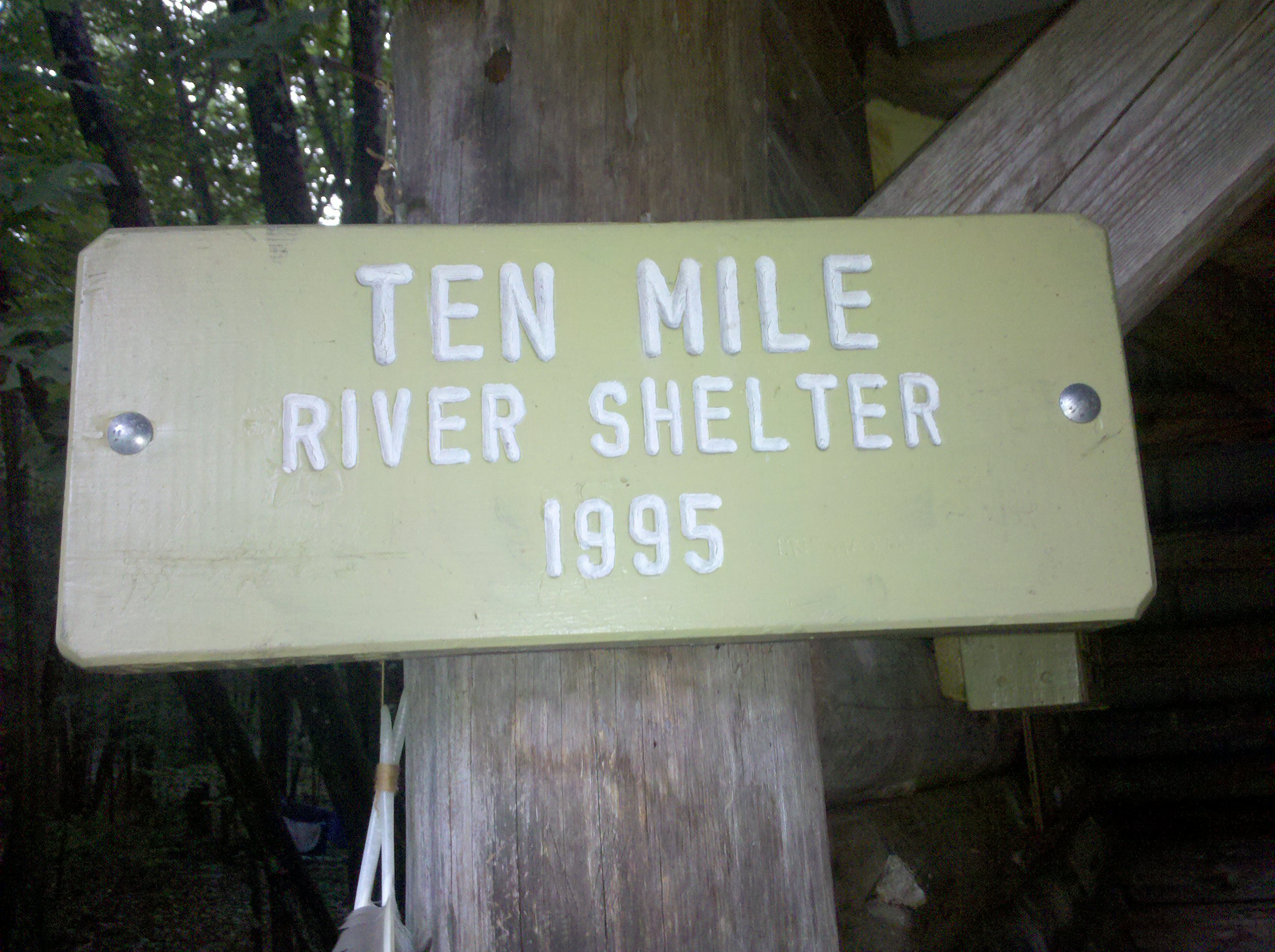
| 1458 | Ten Mile River Shelter (290')?4mS; 8.4mN | 290 |


| Miles from Springer | Features | Elevation |
|---|---|---|
| 1458 | Ten Mile River Shelter (290')?4mS; 8.4mN | 290 |
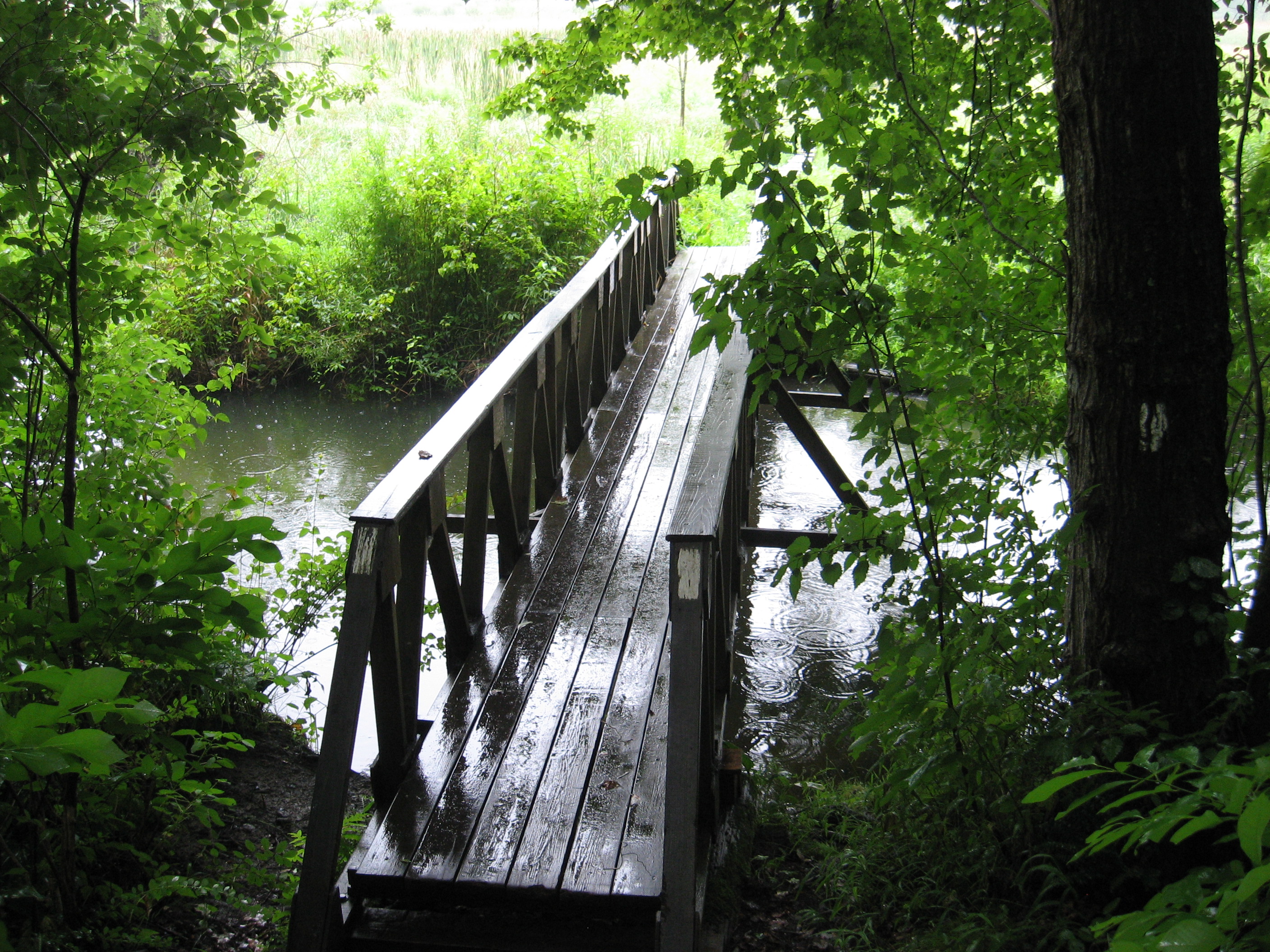
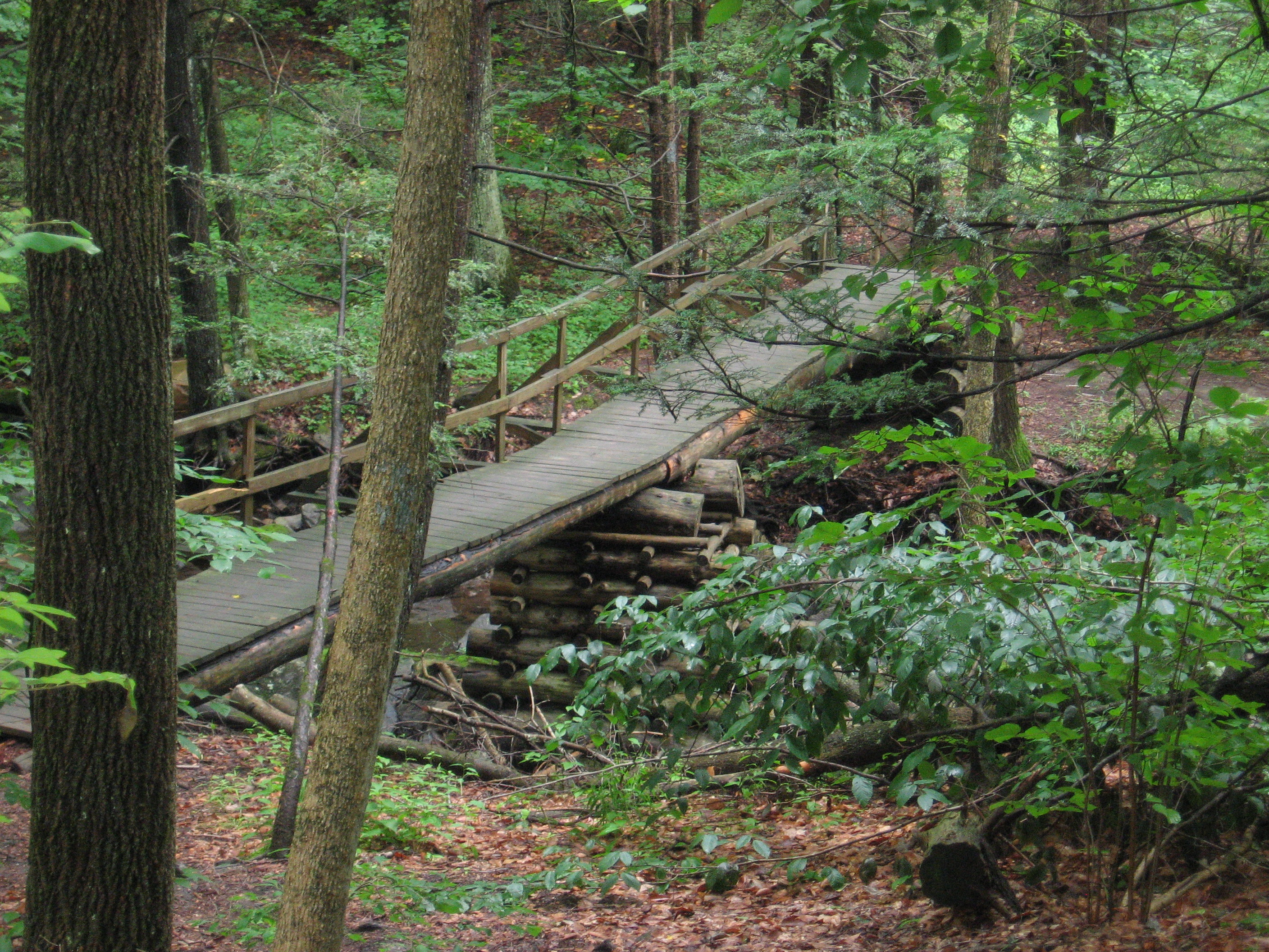
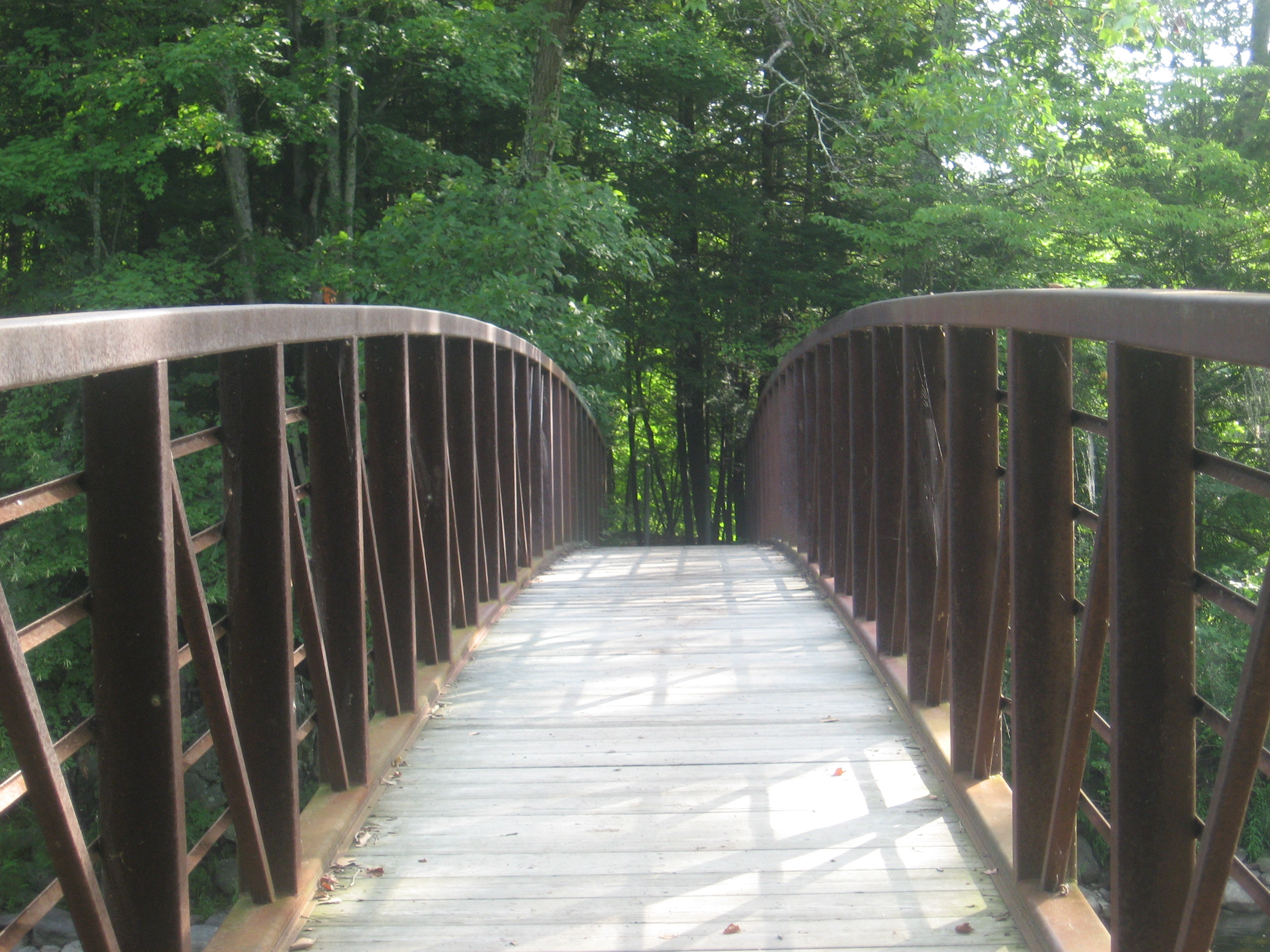
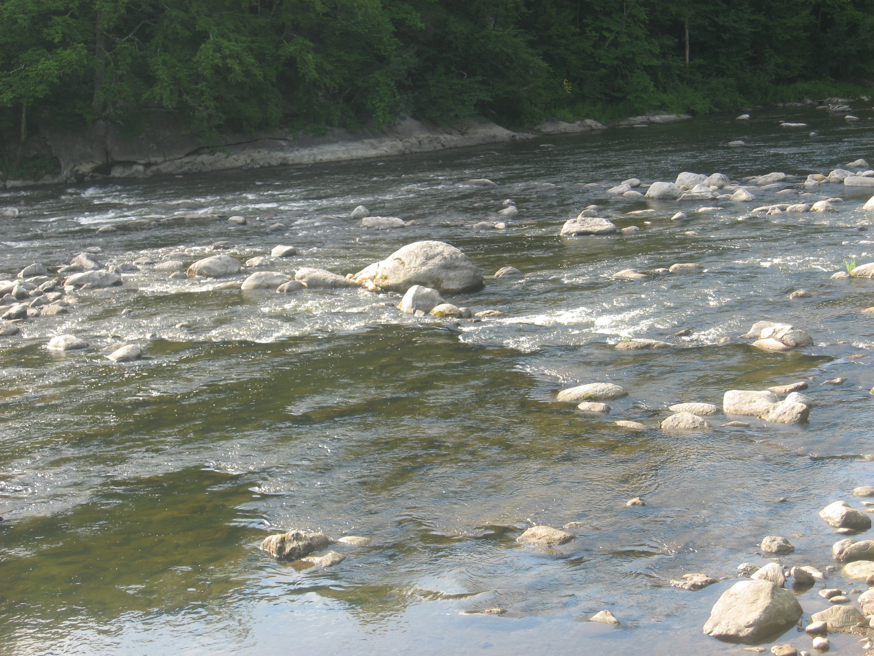
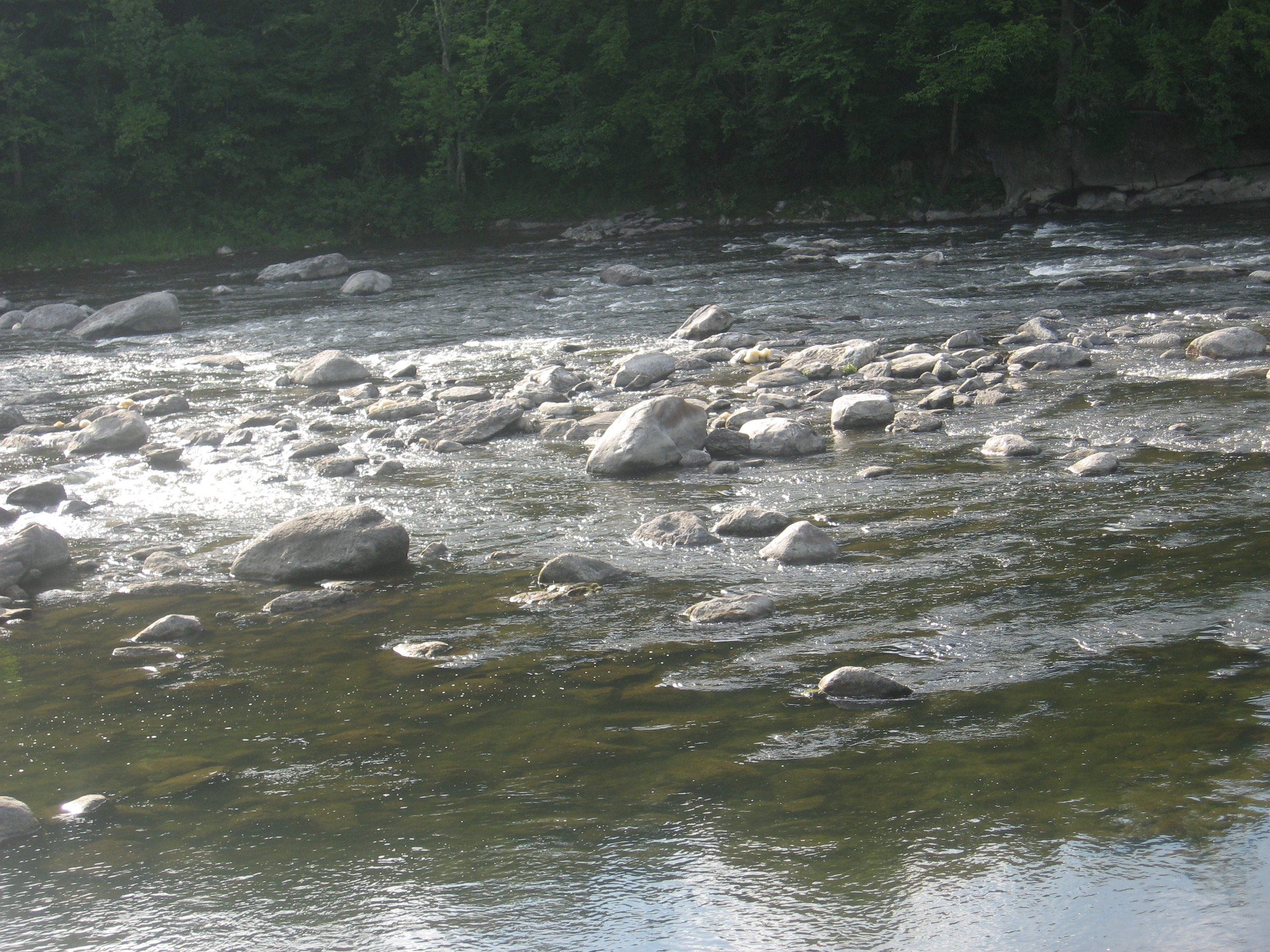
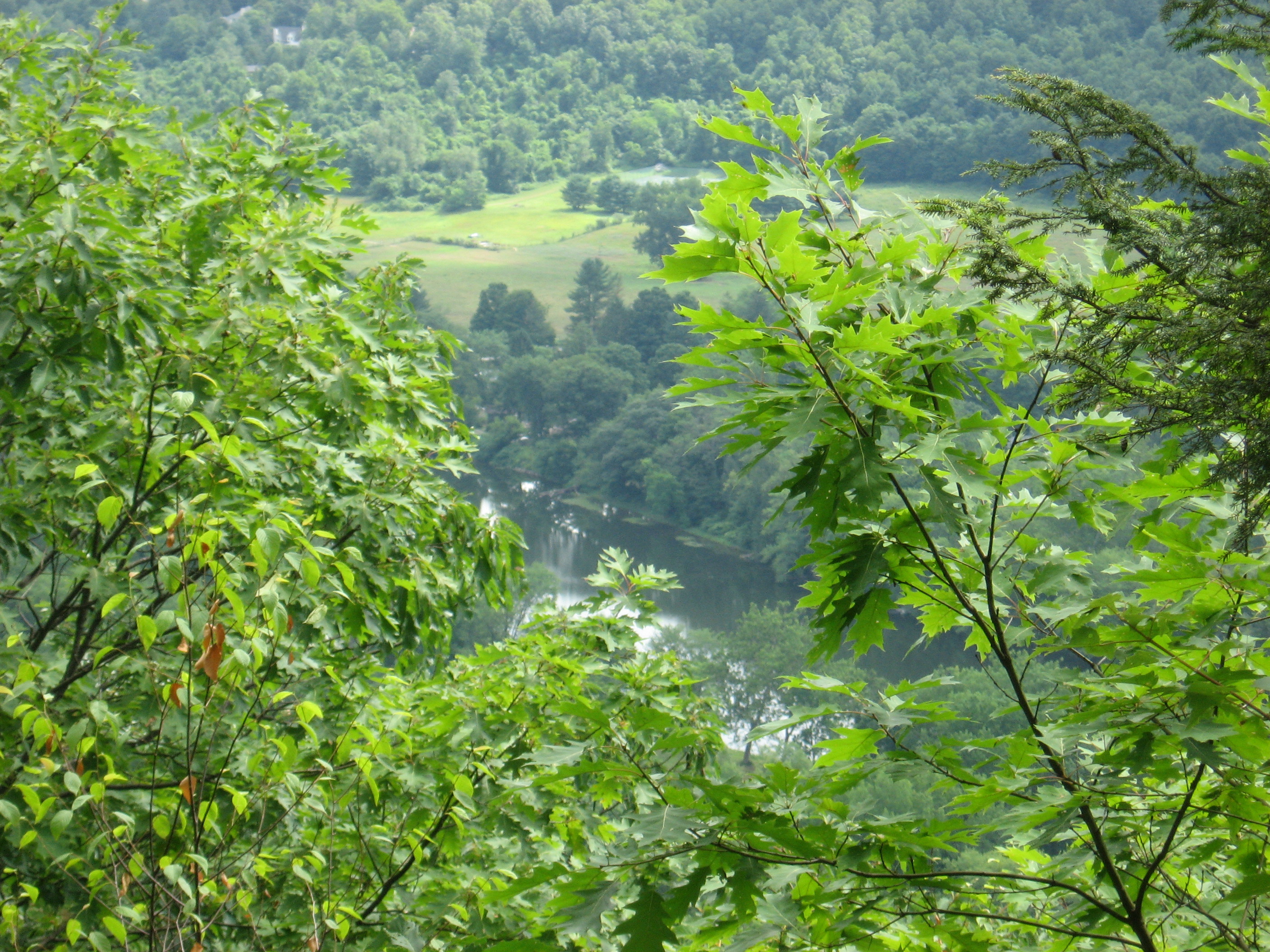
| 1458.2 | Ten Mile River (280')?footbridge | 280 |
| 1458.9 | Bulls Bridge Road (450') Trail to Bulls Bridge Parking Area | 450 |
| 1459.6 | Schaghticoke Road (320') | 320 |
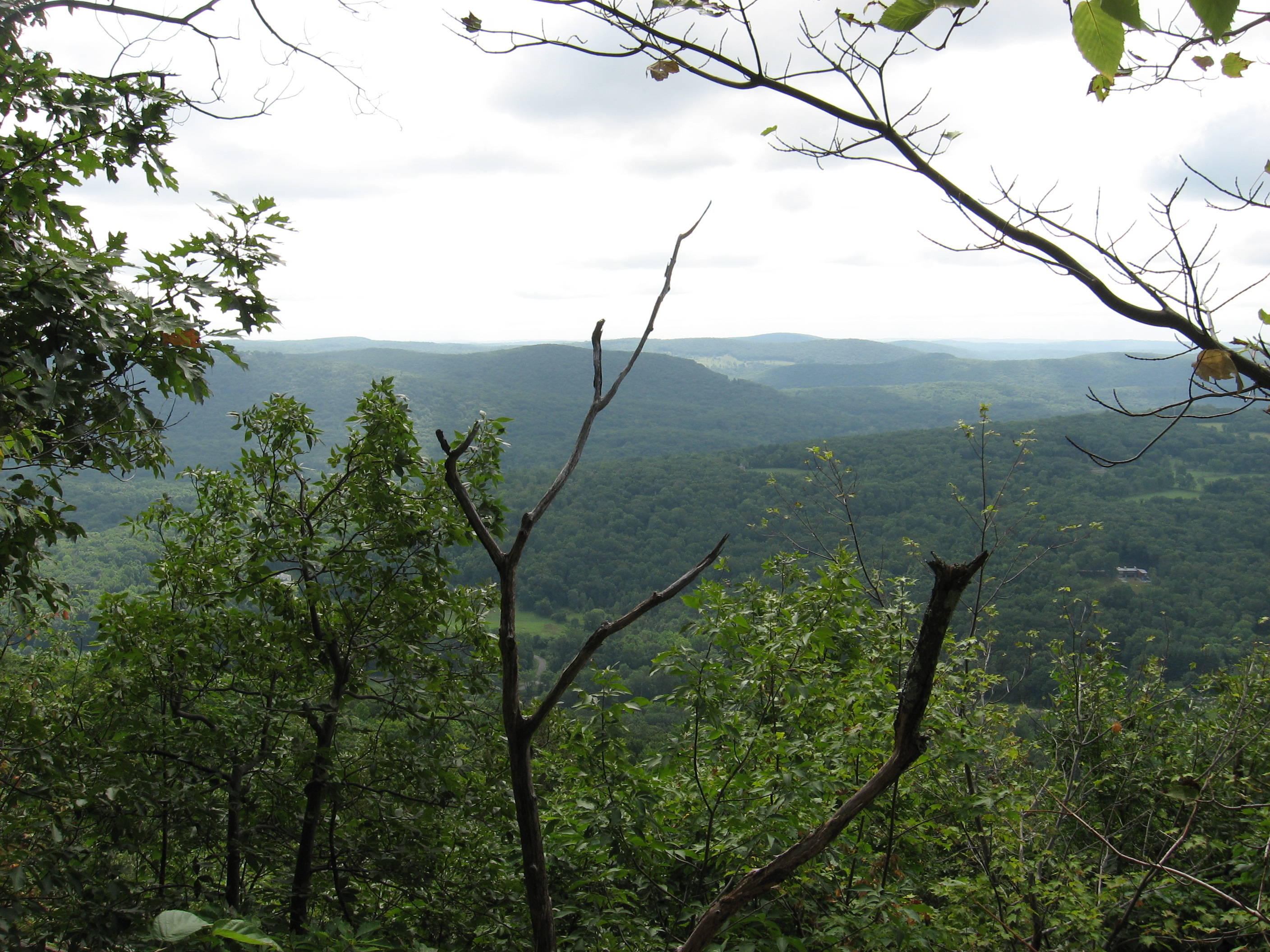
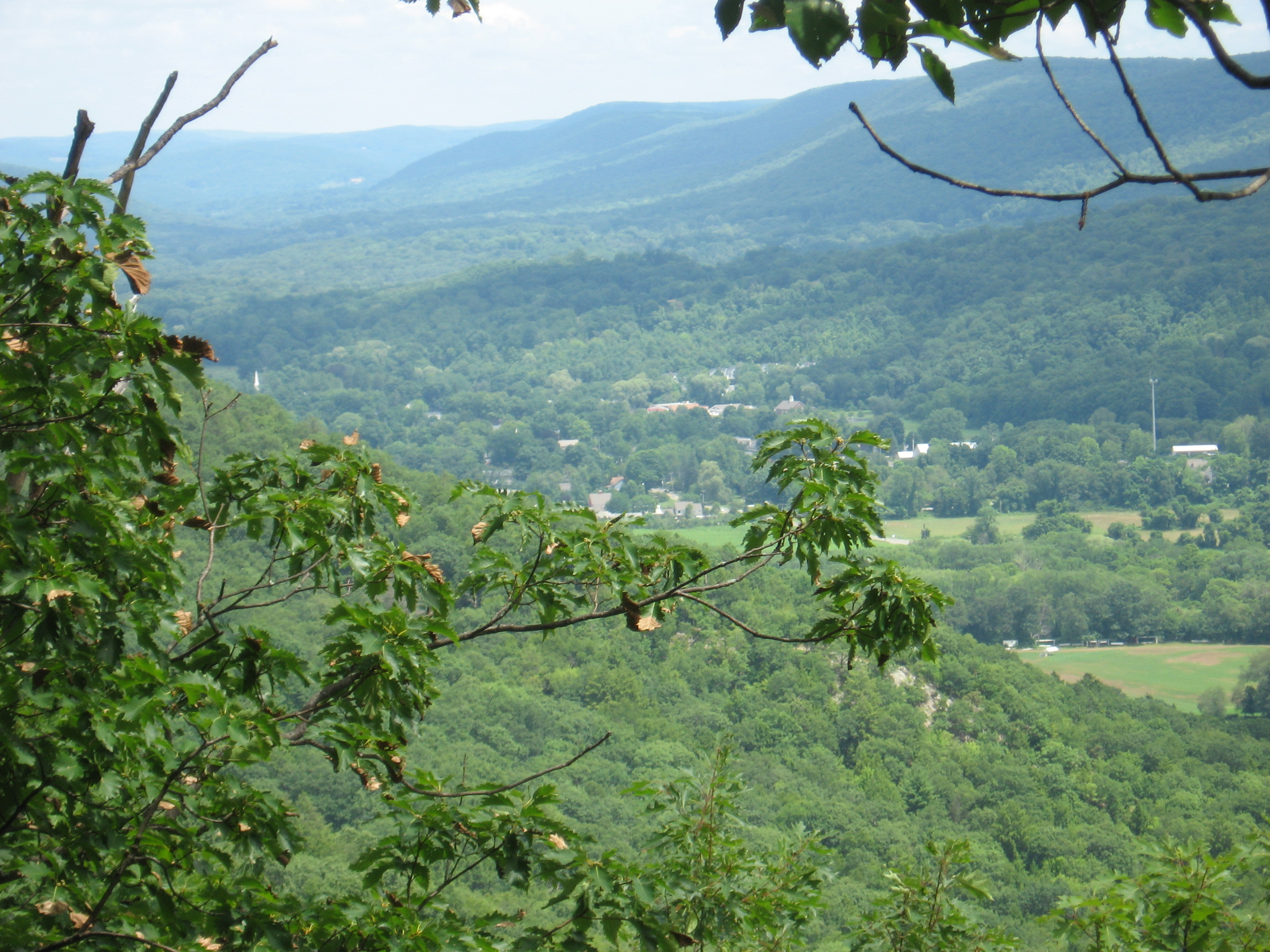
| 1461.3 | Schaghticoke Mountain (1,331') | 1331 |
| 1462.5 | Connecticut?New York State Line (1,250') | 1250 |
| 1462.9 | Indian Rocks (1,290') | 1290 |
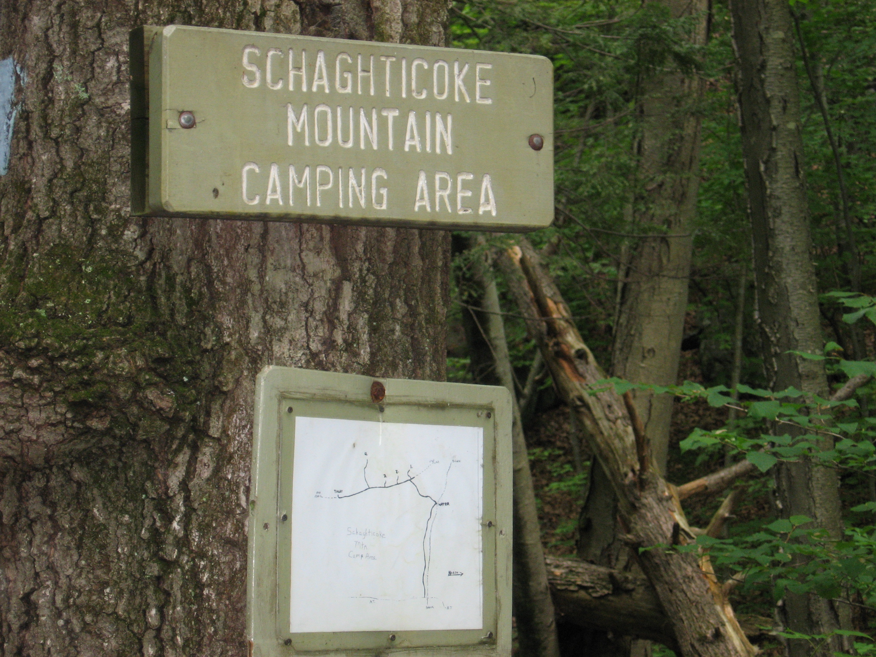
| 1463.5 | Schaghticoke Mountain Campsite (950') | 950 |
| 1465.4 | Thayer Brook (900') | 900 |
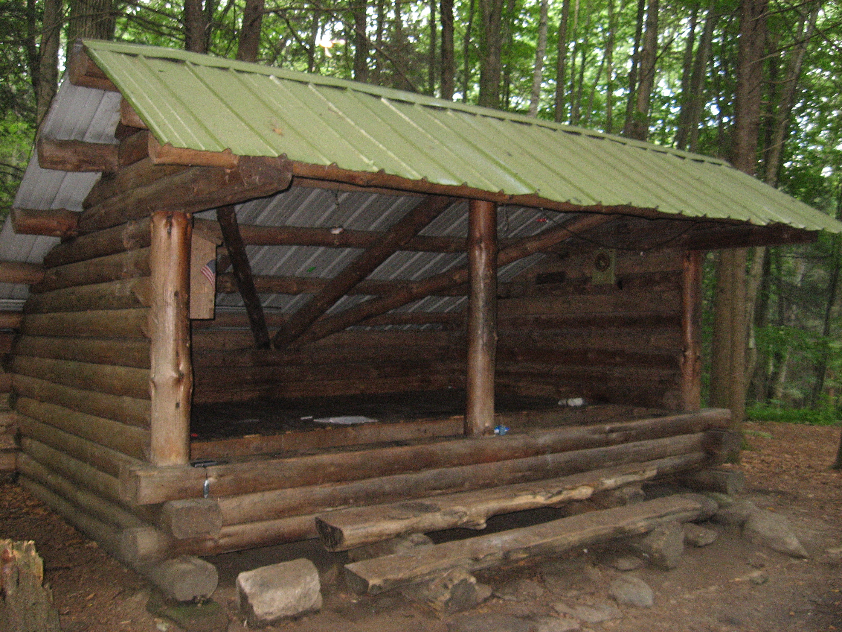
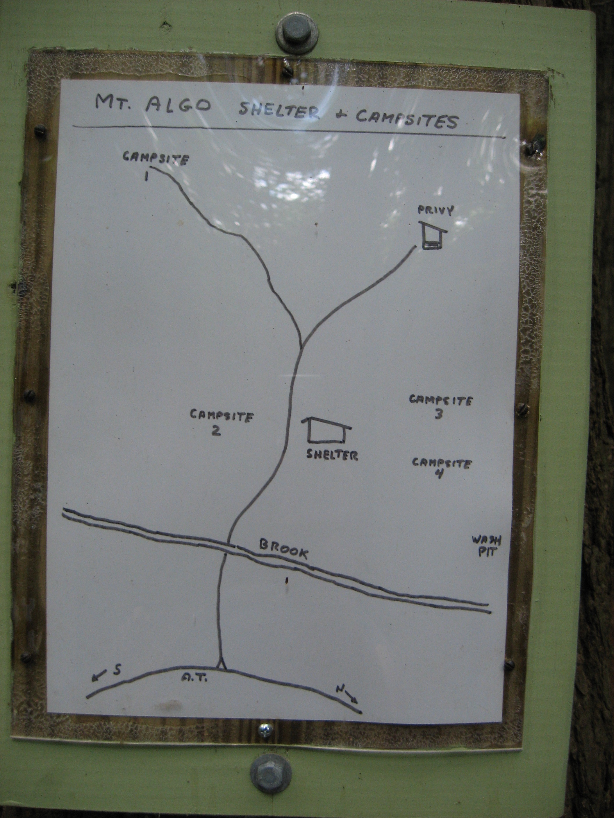
| 1466.4 | Mt. Algo Shelter (655')?8.4mS; 7.3mN | 655 |

| Miles from Springer | Features | Elevation |
|---|---|---|
| 1466.4 | Mt. Algo Shelter (655')?8.4mS; 7.3mN | 655 |
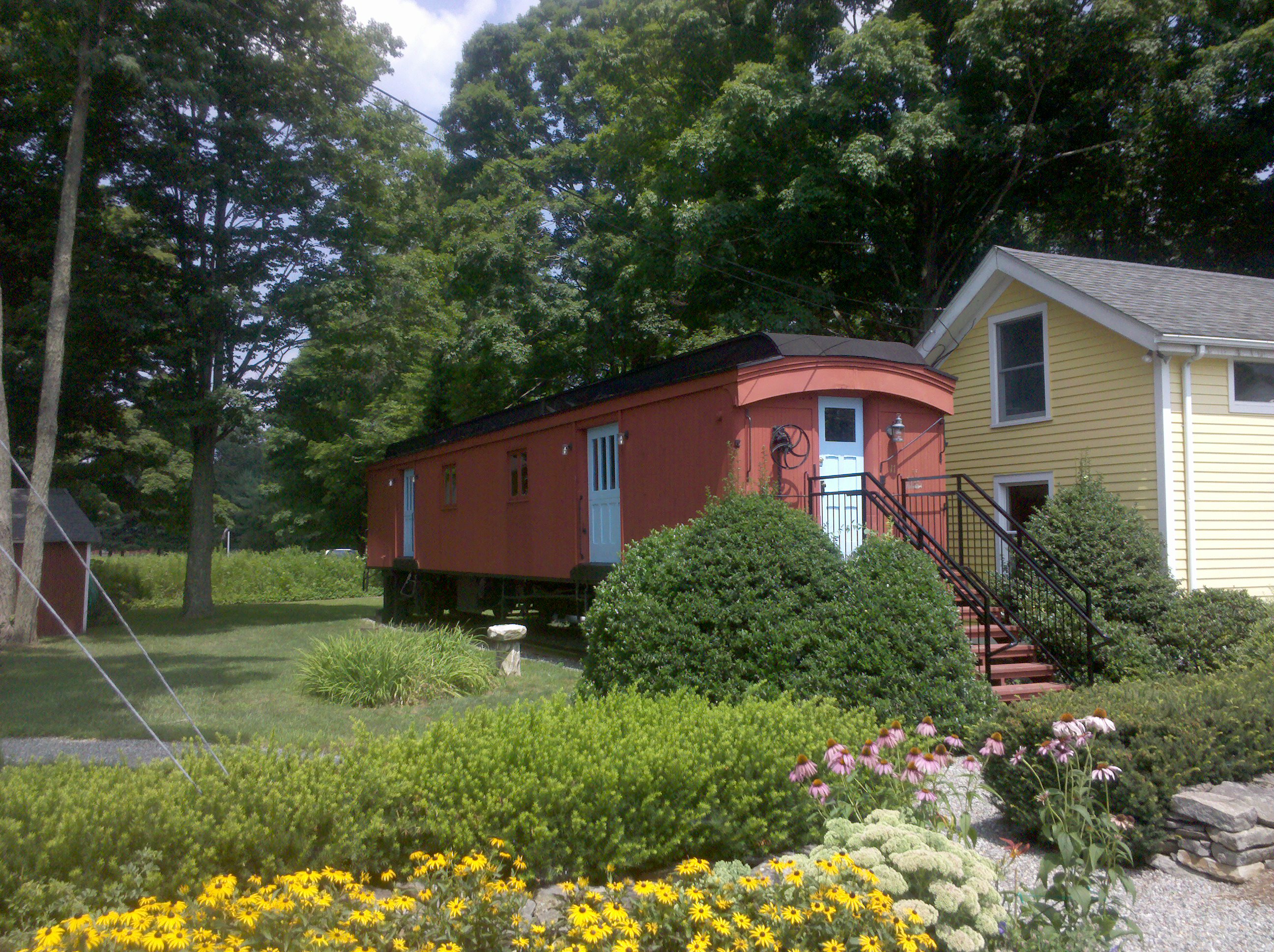
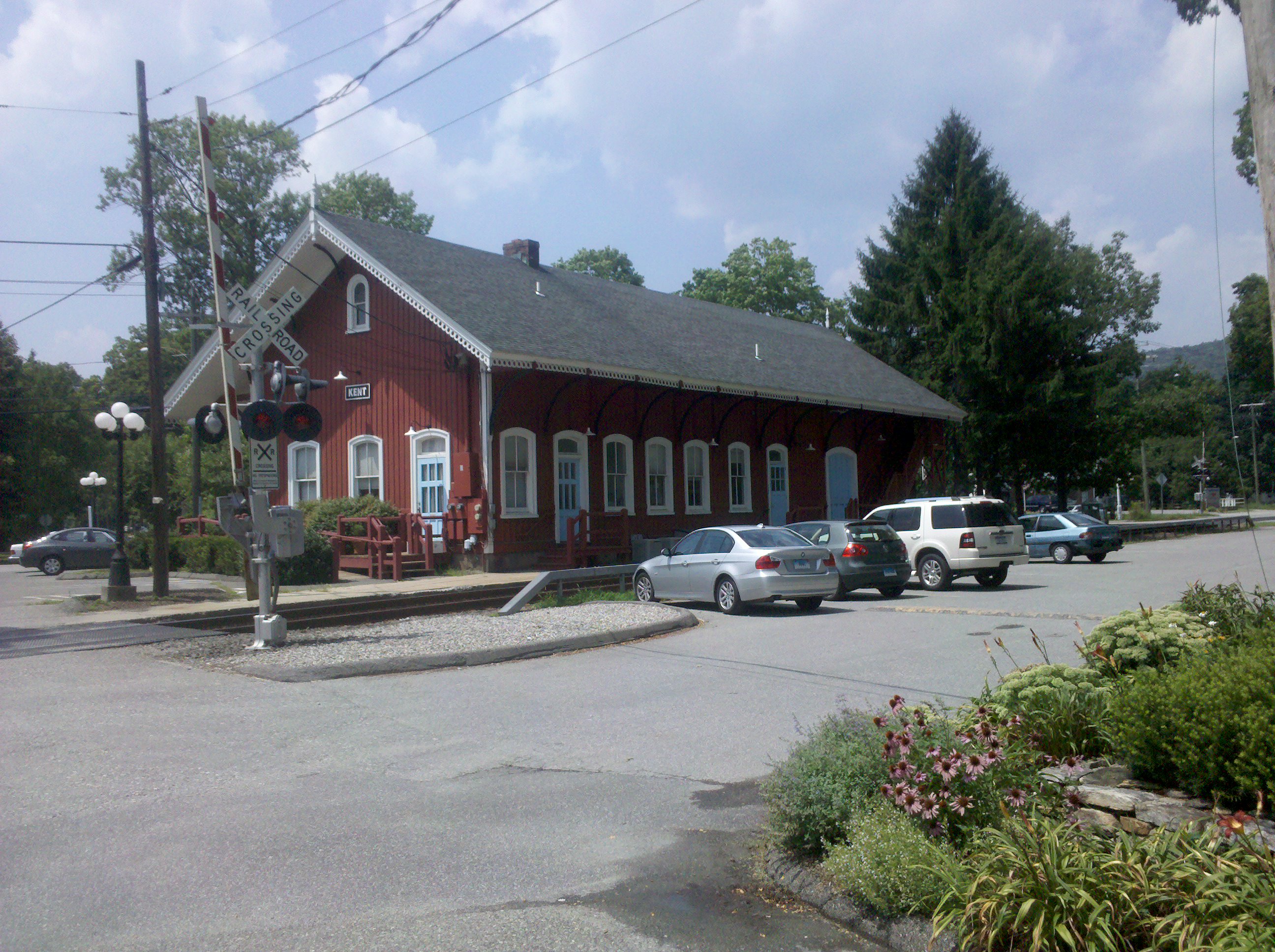
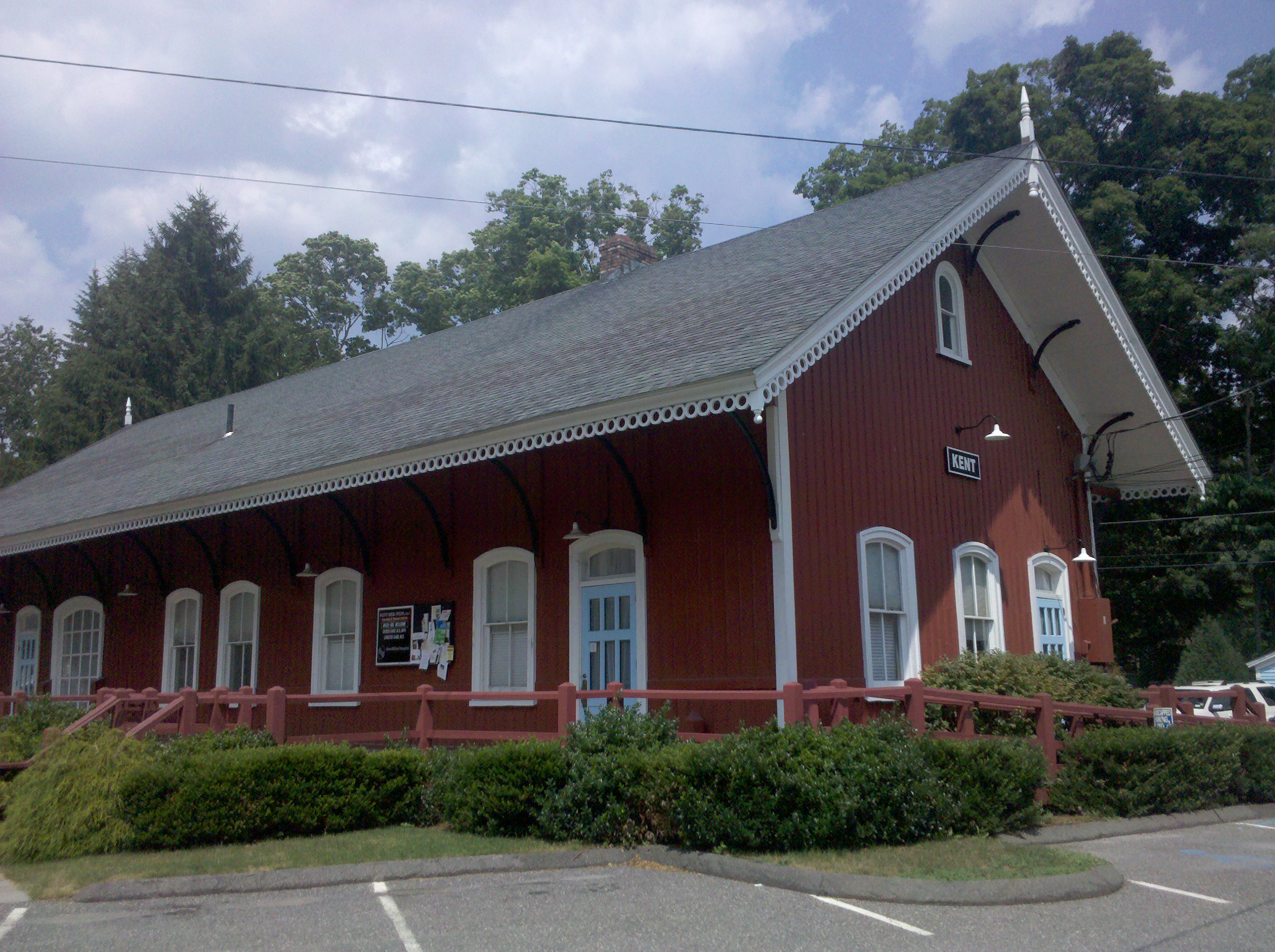
| 1466.7 | Conn. 341, Schaghticoke Road (350') Kent, Conn. 06757 | 350 |


| Miles from Springer | Features | Elevation |
|---|---|---|
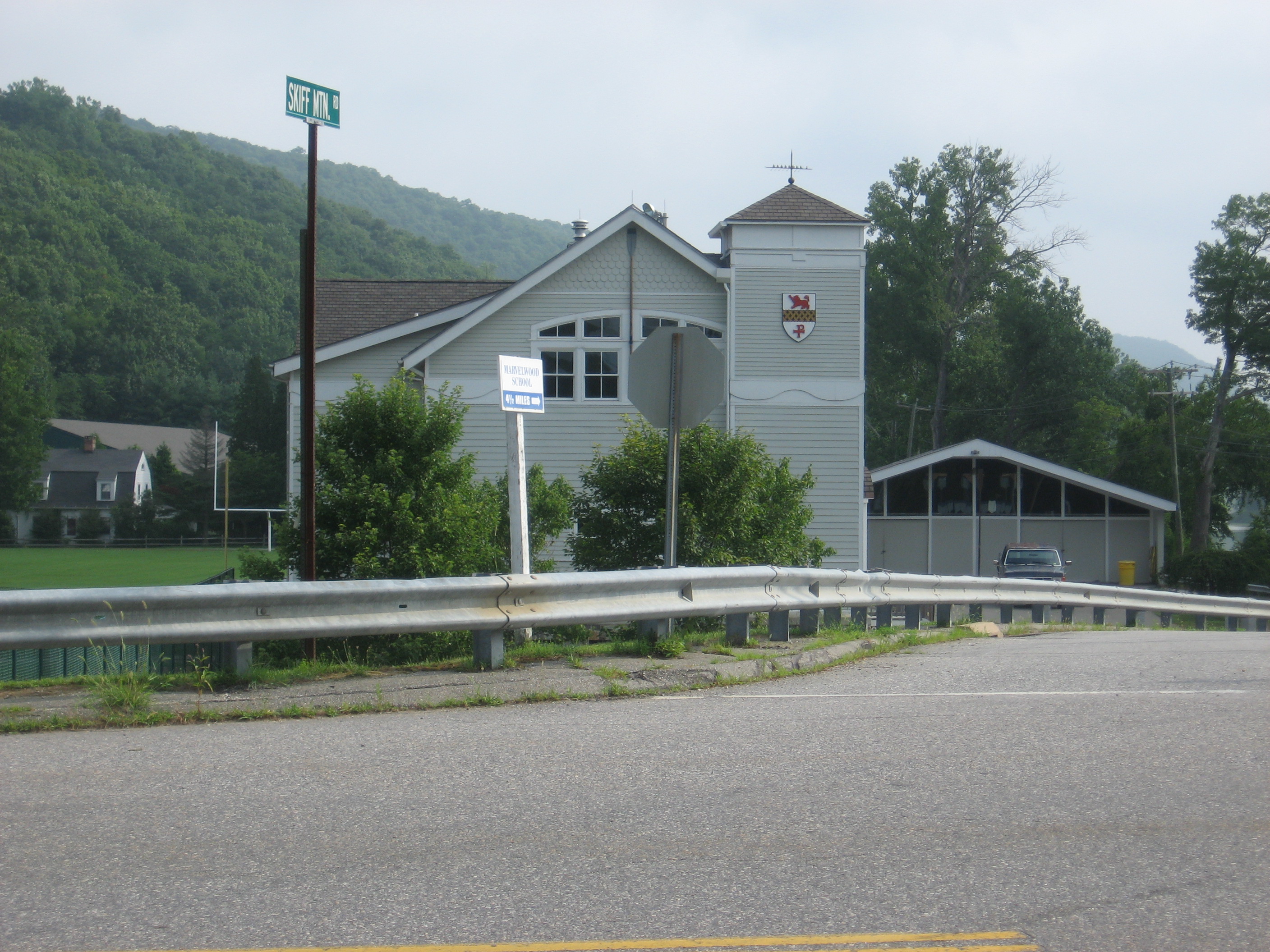
| 1469.5 | Skiff Mountain Road (850') | 850 |
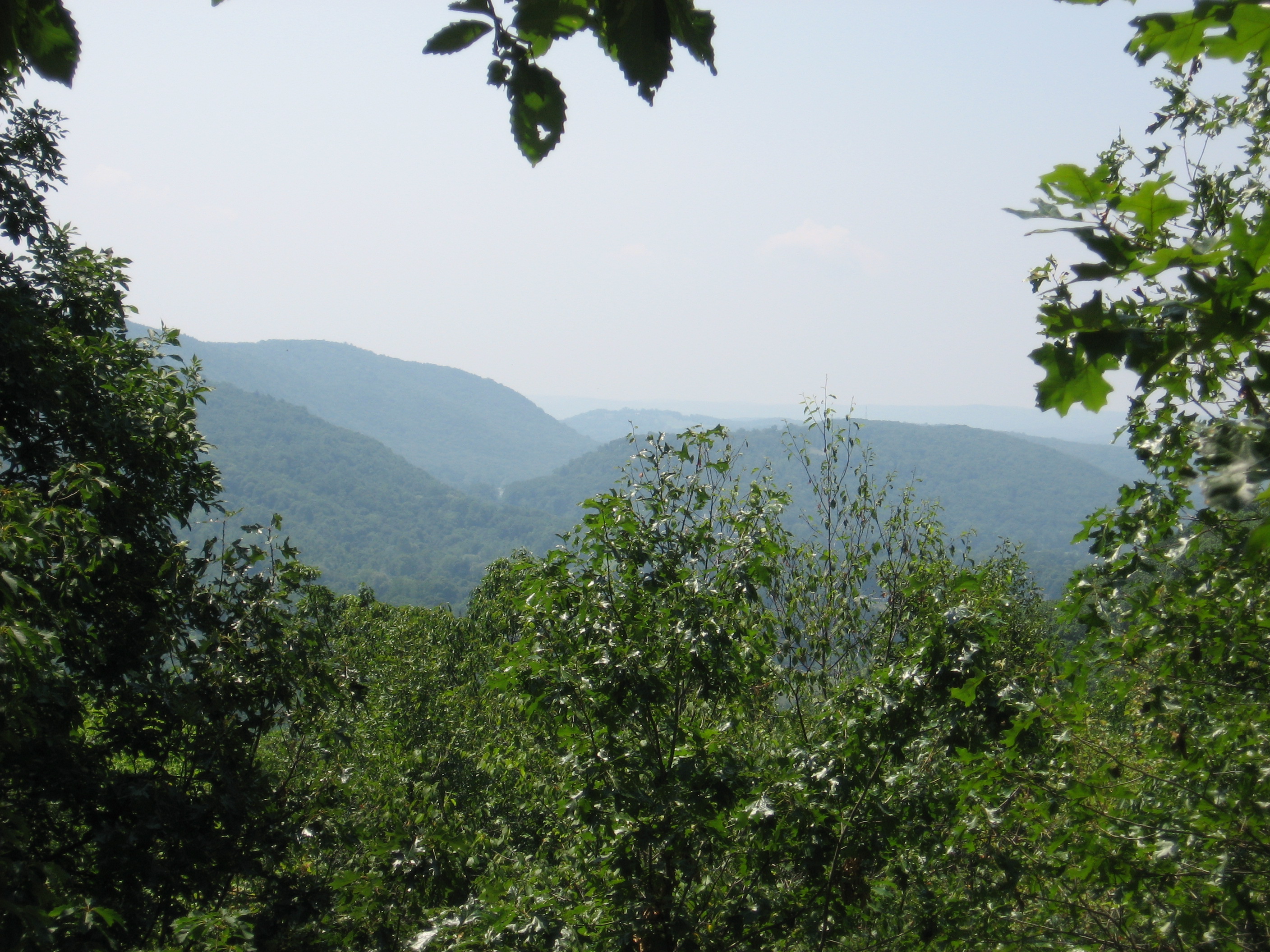
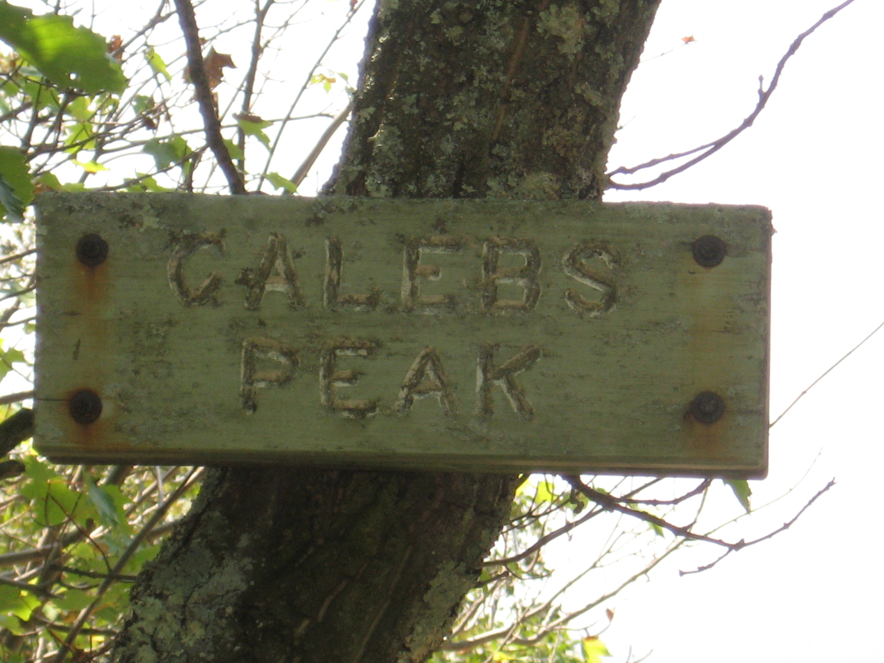
| 1470.2 | Caleb's Peak (1,160') | 1160 |
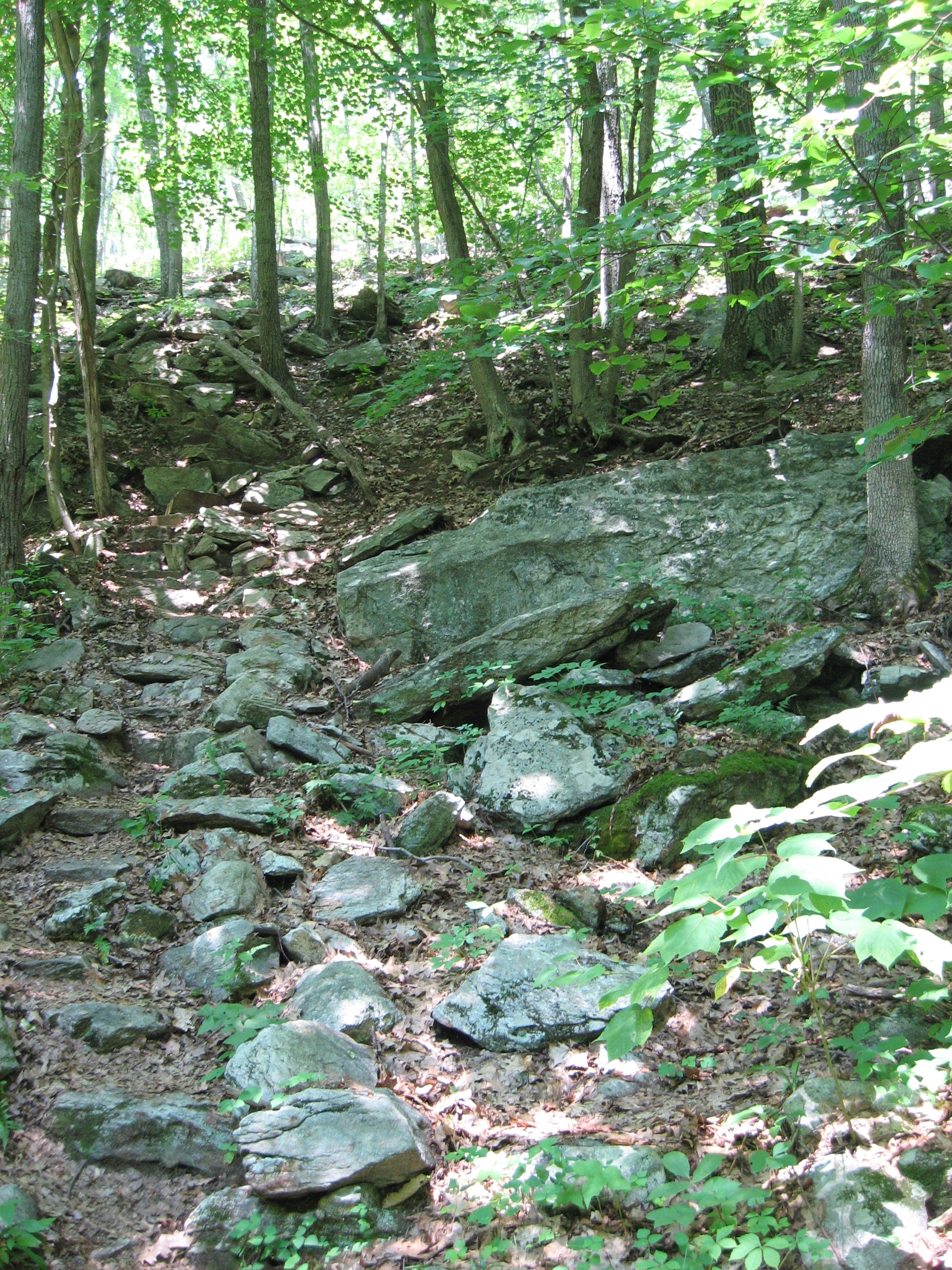
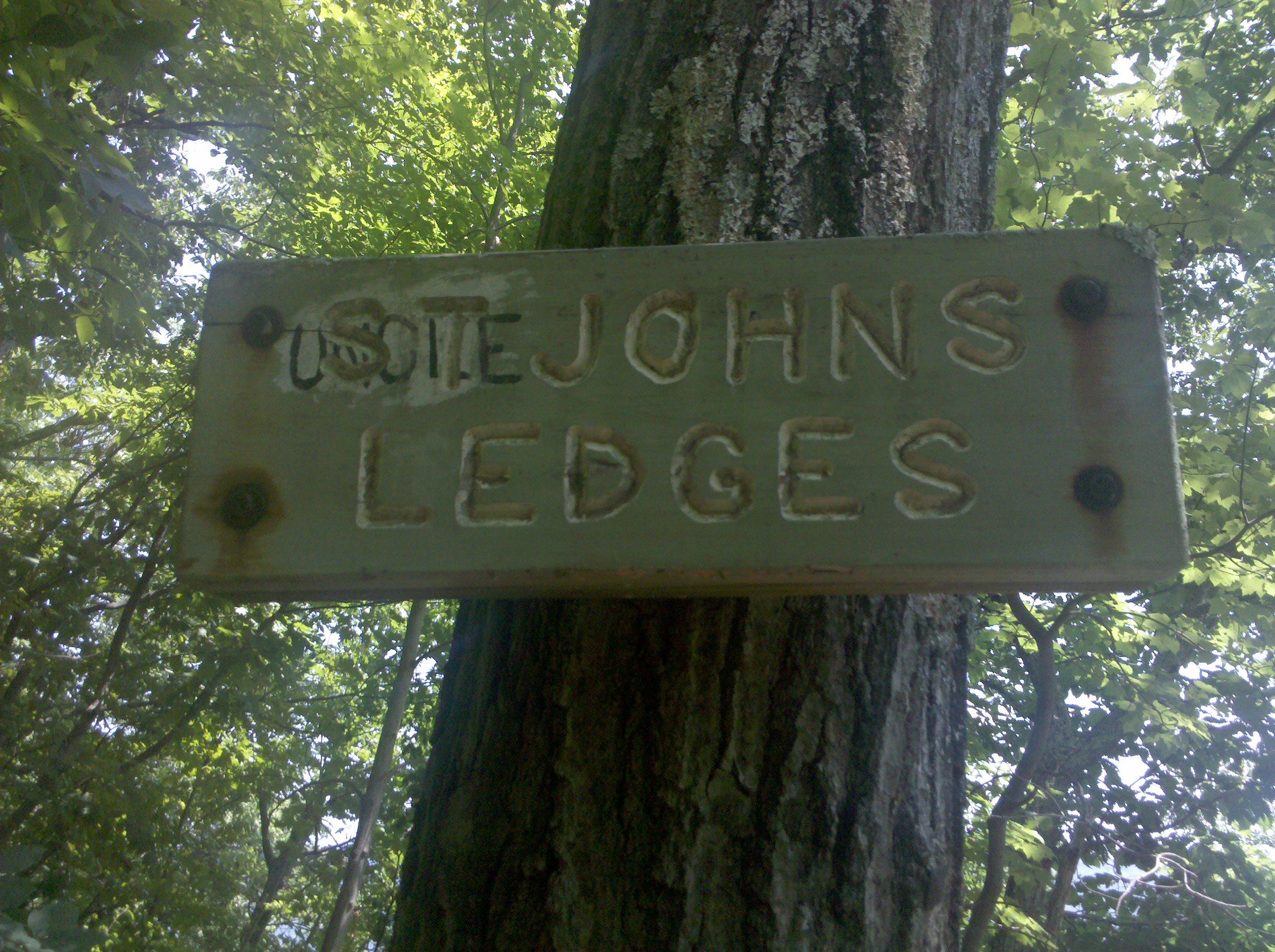
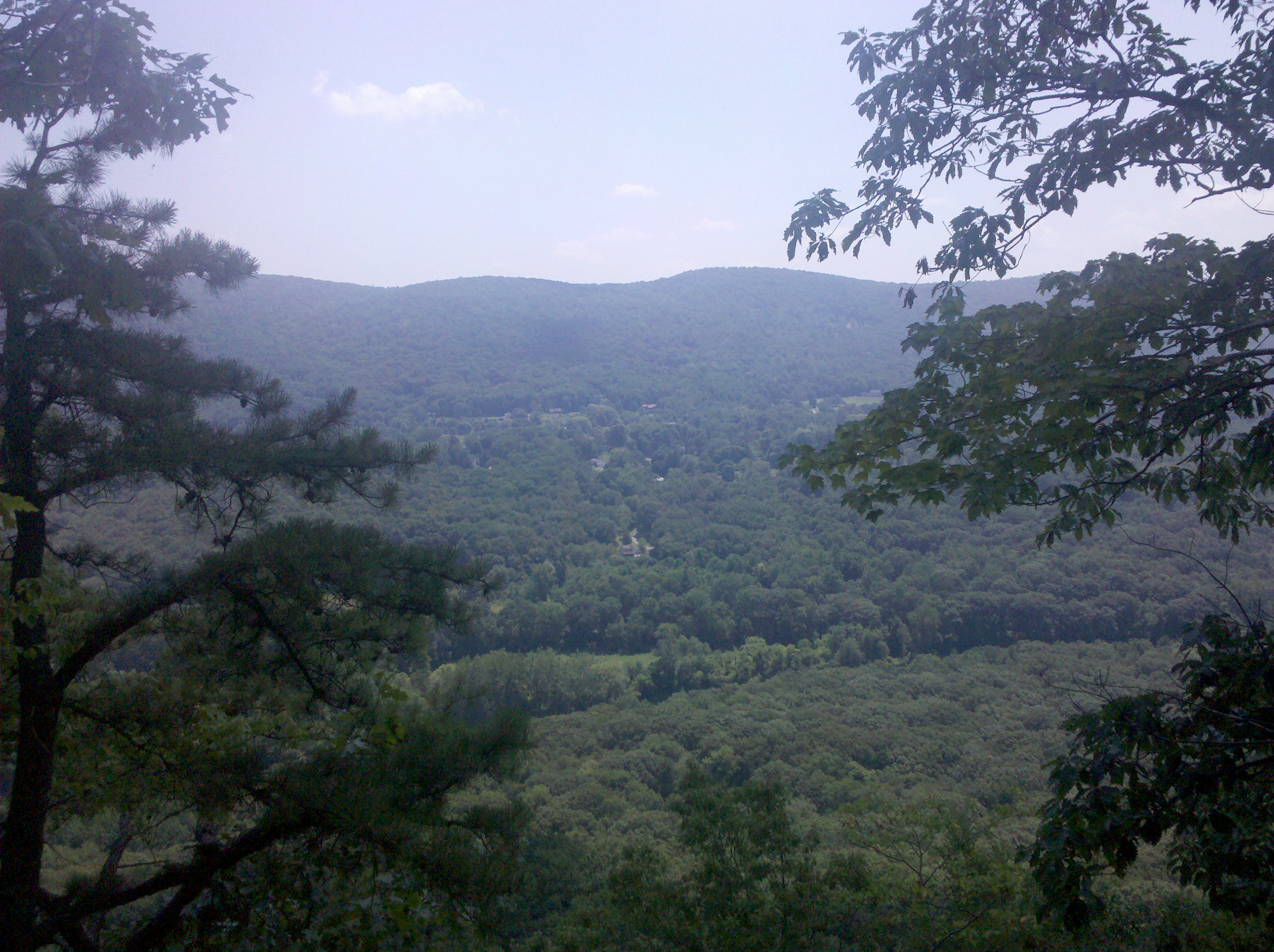
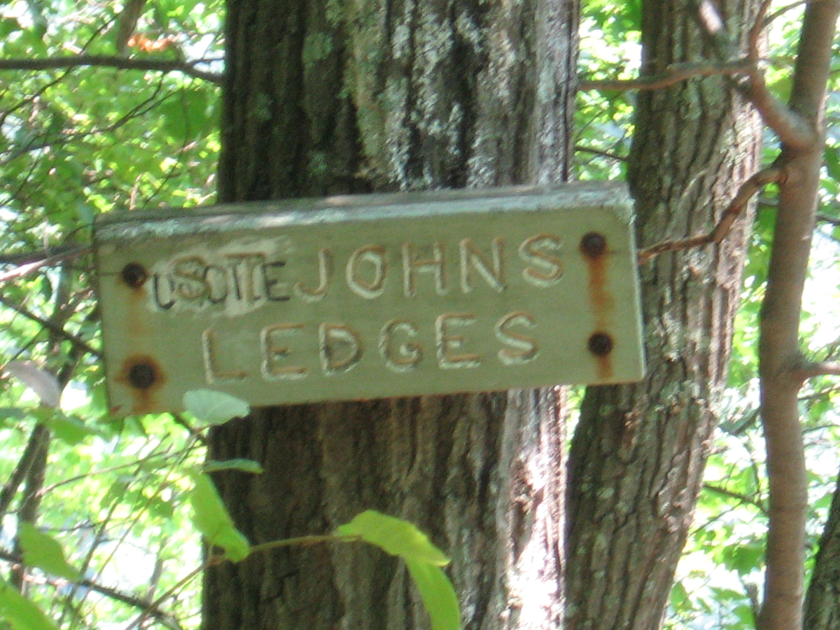
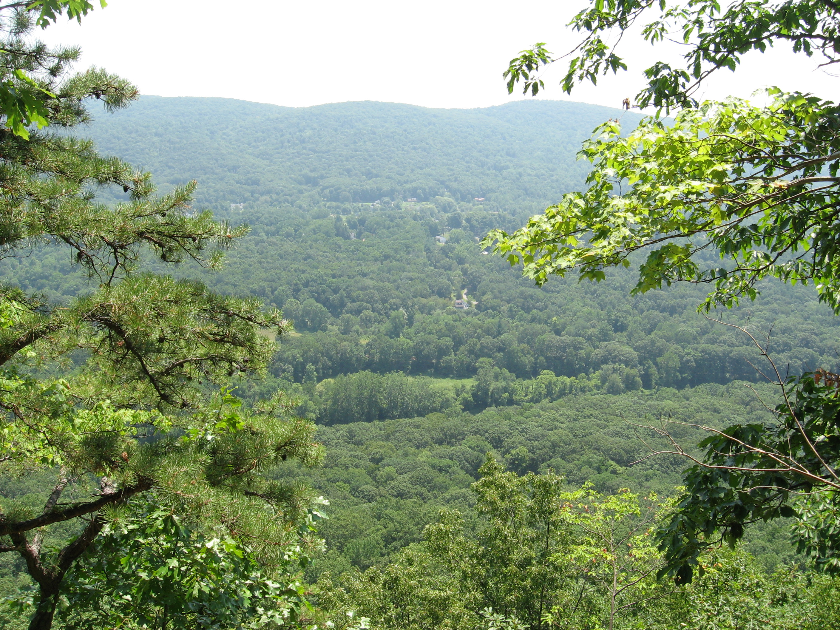
| 1470.9 | St. Johns Ledges (900') | 900 |
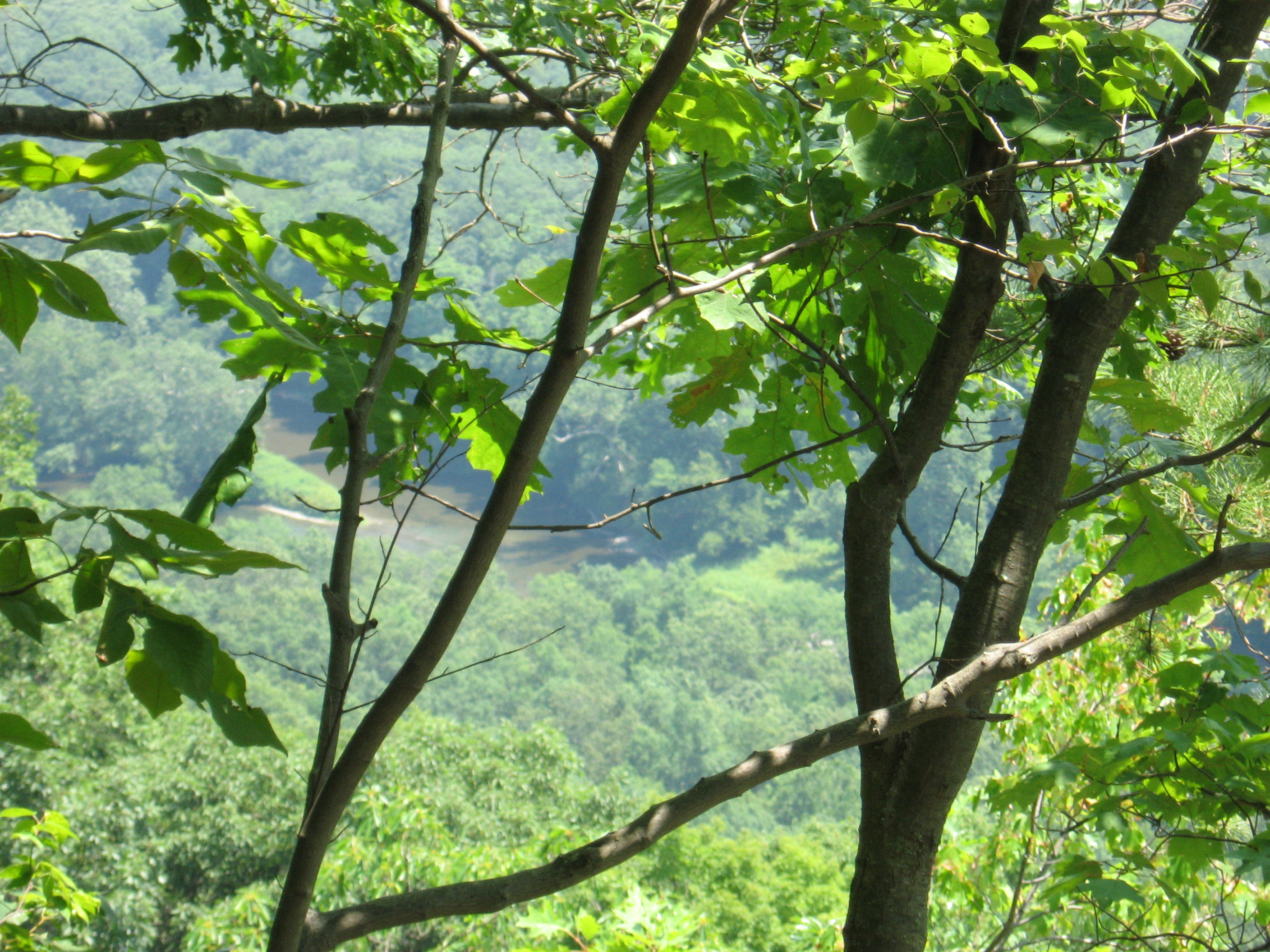
| 1471.4 | River Road (480') | 480 |
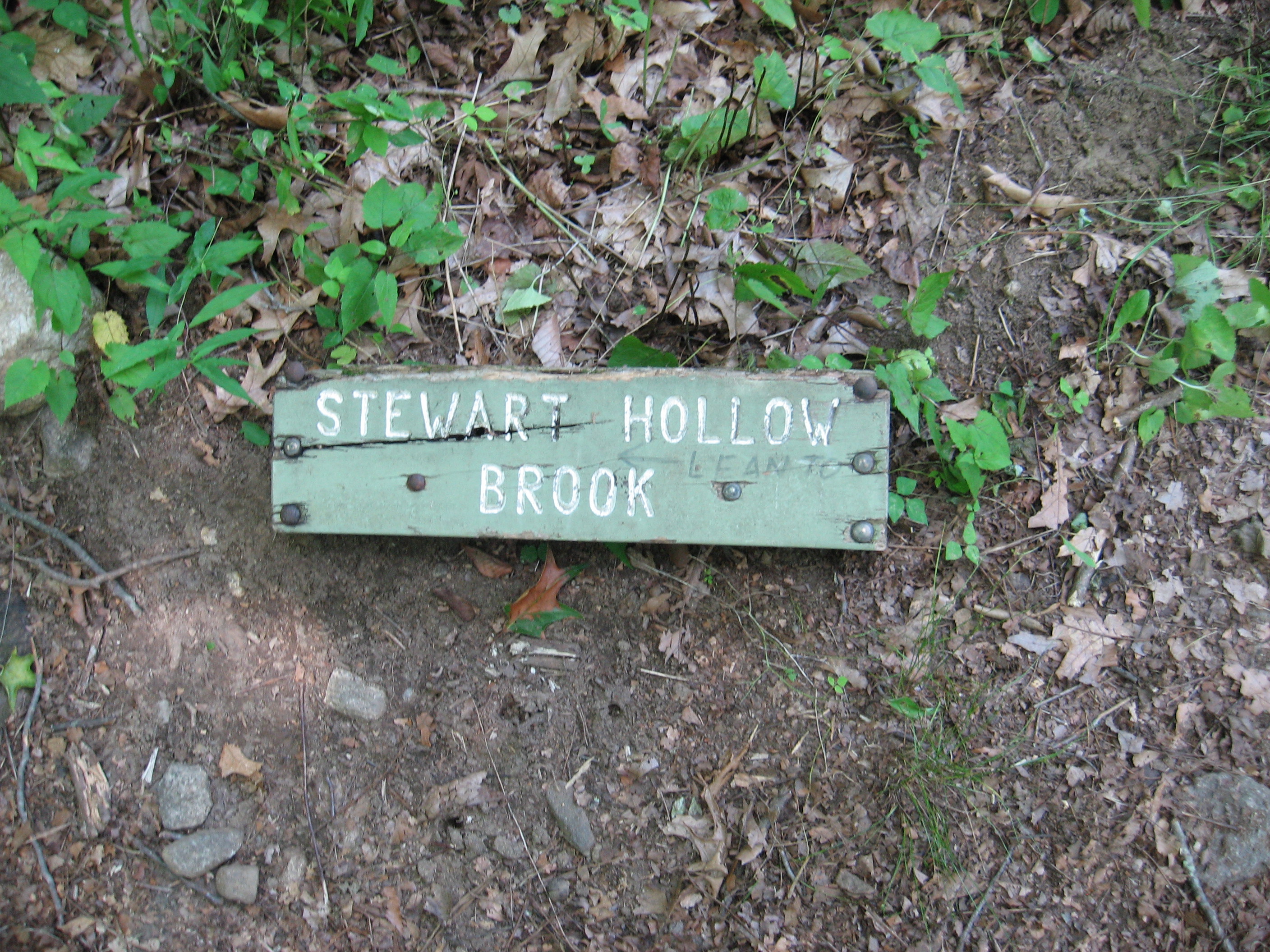
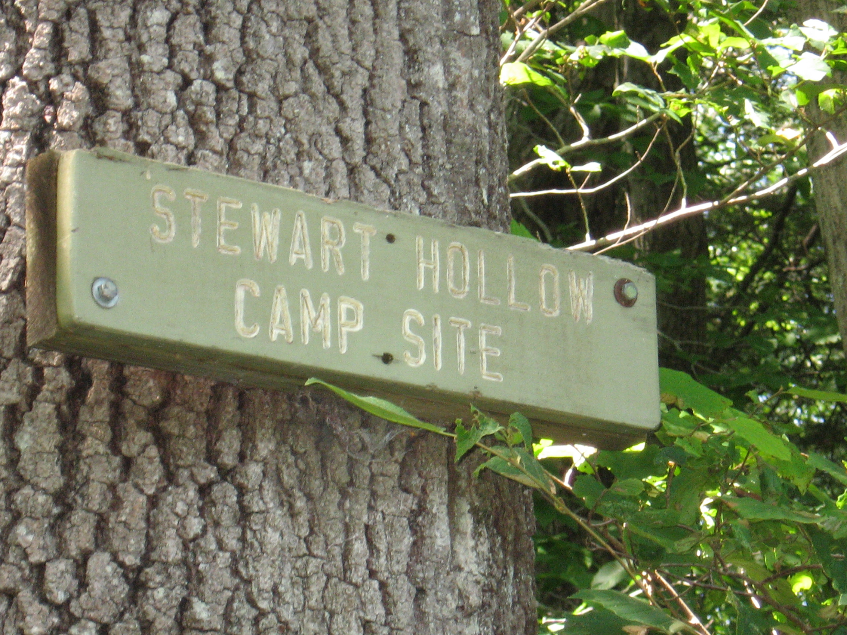
| 1473.7 | Stewart Hollow Brook Shelter (400') ?7.3mS; 10mN | 400 |

| Miles from Springer | Features | Elevation |
|---|---|---|
| 1474.1 | Stony Brook Campsite (440') | 440 |
| 1476.1 | River Road (460')?spring | 460 |
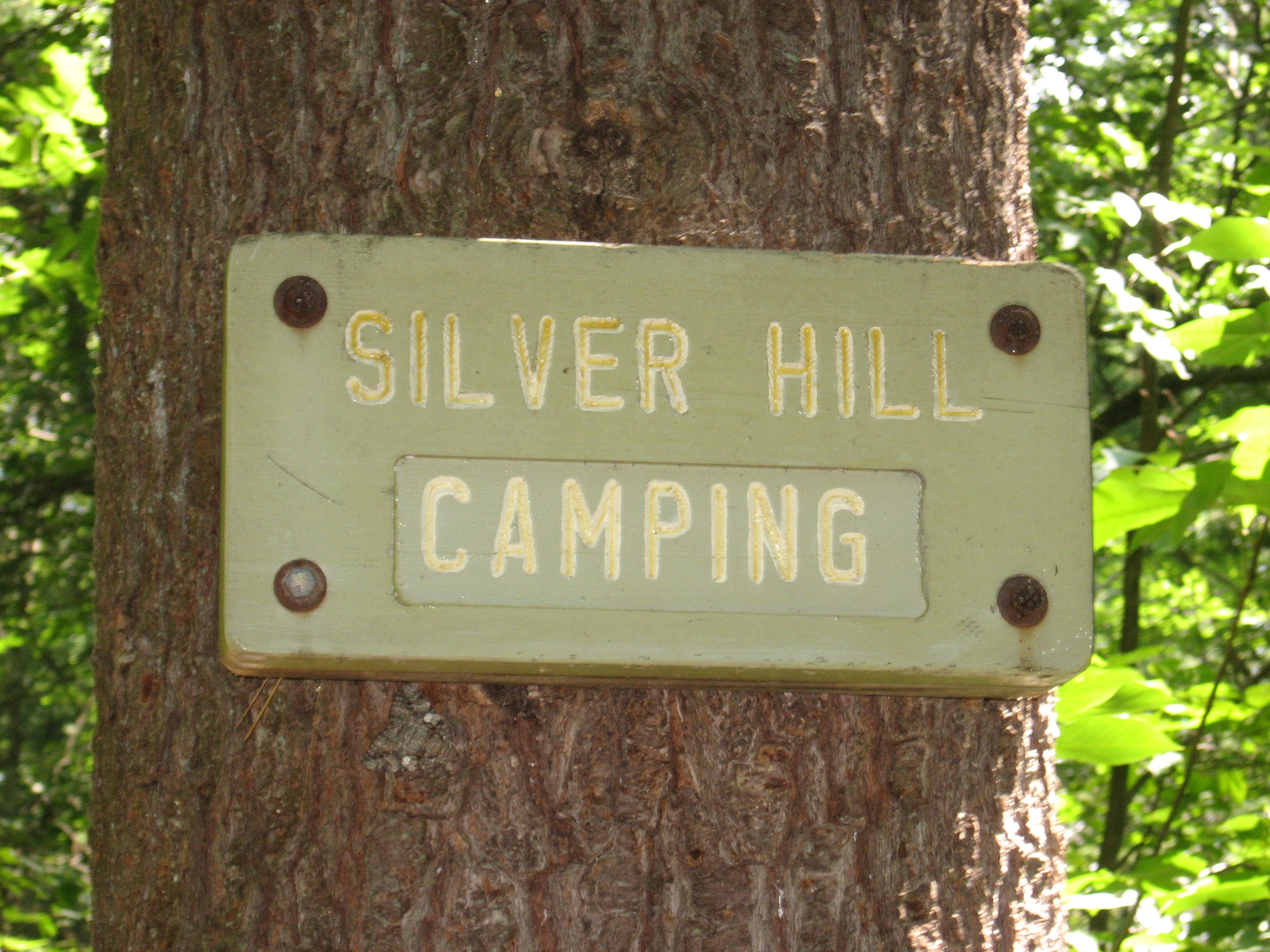
| 1476.9 | Silver Hill Campsite (1,000') | 1000 |


| Miles from Springer | Features | Elevation |
|---|---|---|
| 1476.9 | Silver Hill Campsite (1,000') | 1000 |
| 1477.8 | Conn. 4 (700') Cornwall Bridge, Conn. 06754 | 700 |
| 1477.9 | Guinea Brook (650')?road bypass in high-water | 650 |
| 1478 | Old Sharon Road (750') | 750 |
| 1479.2 | Hatch Brook (880') | 880 |
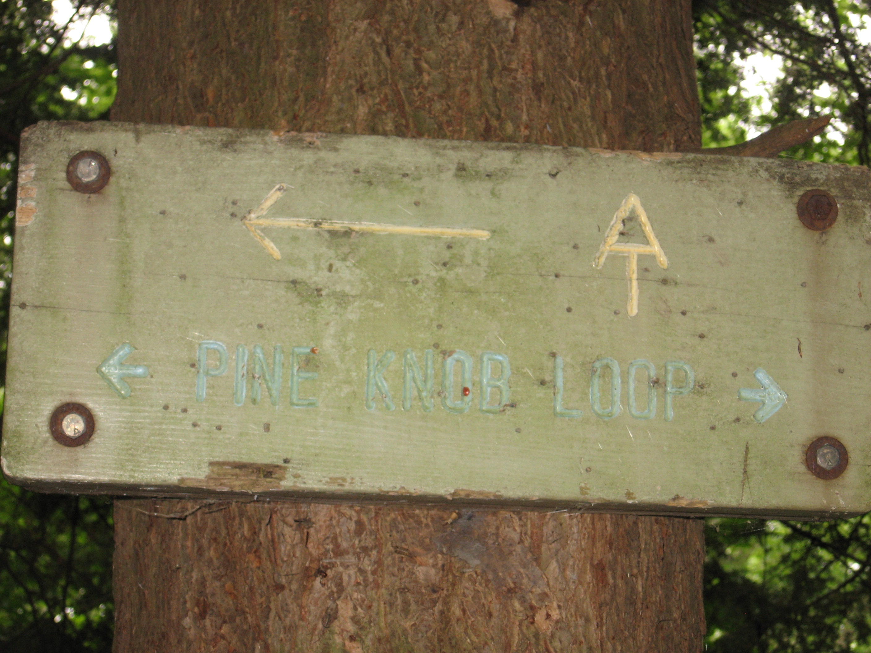
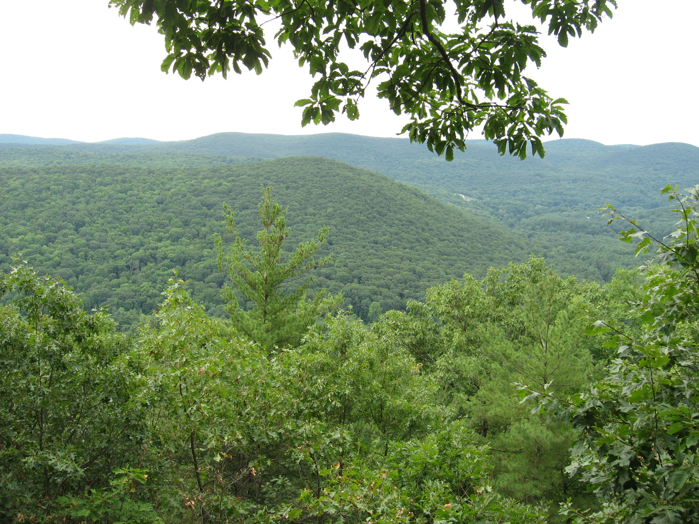
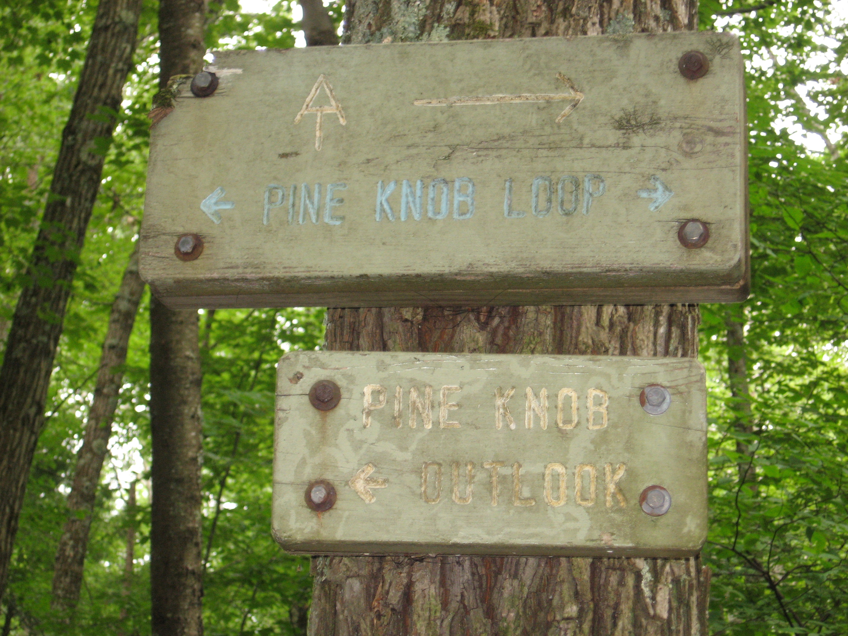
| 1479.9 | Pine Knob Loop Trail (1,150')?to Housatonic Meadows State Park | 1150 |
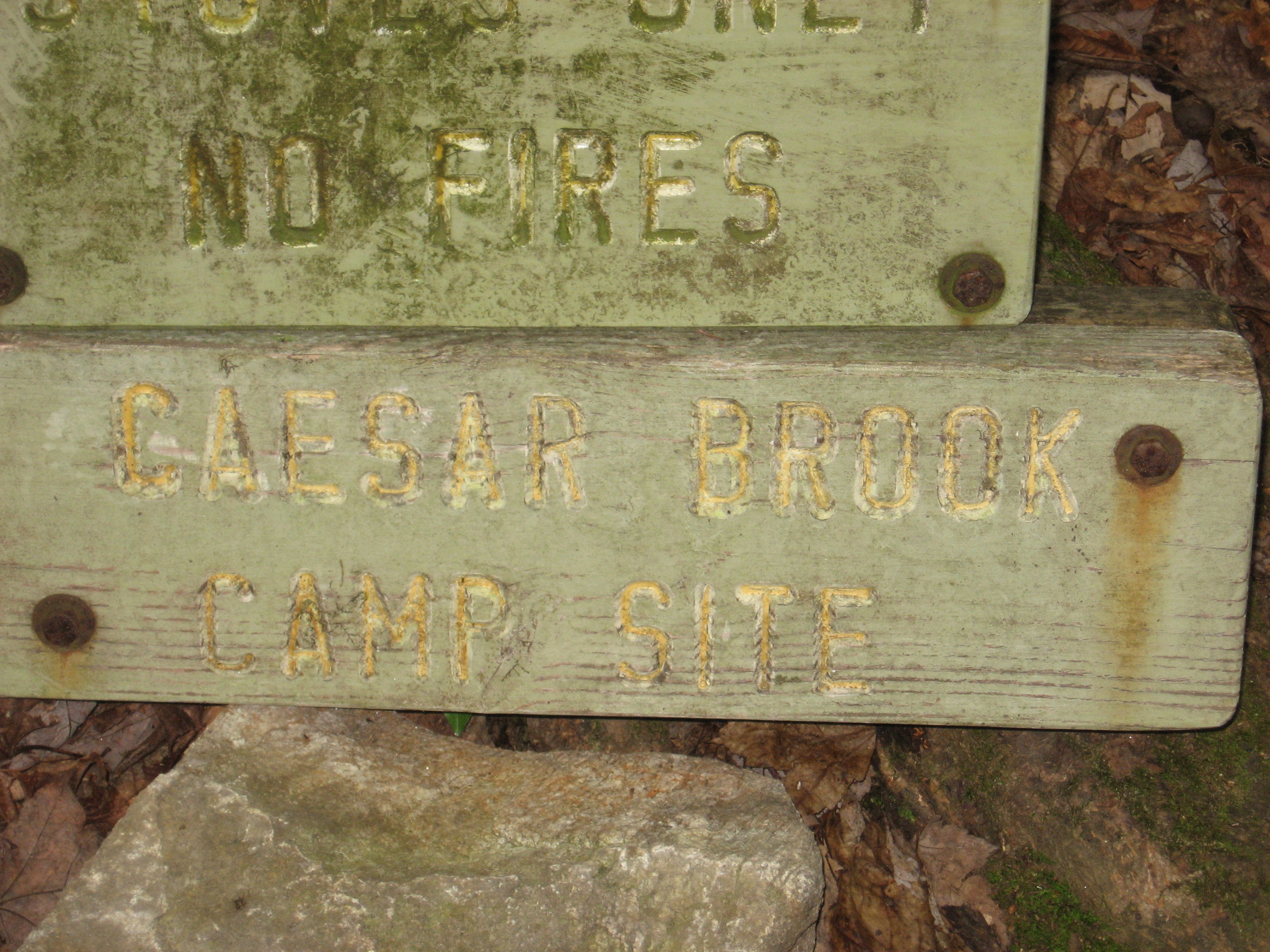
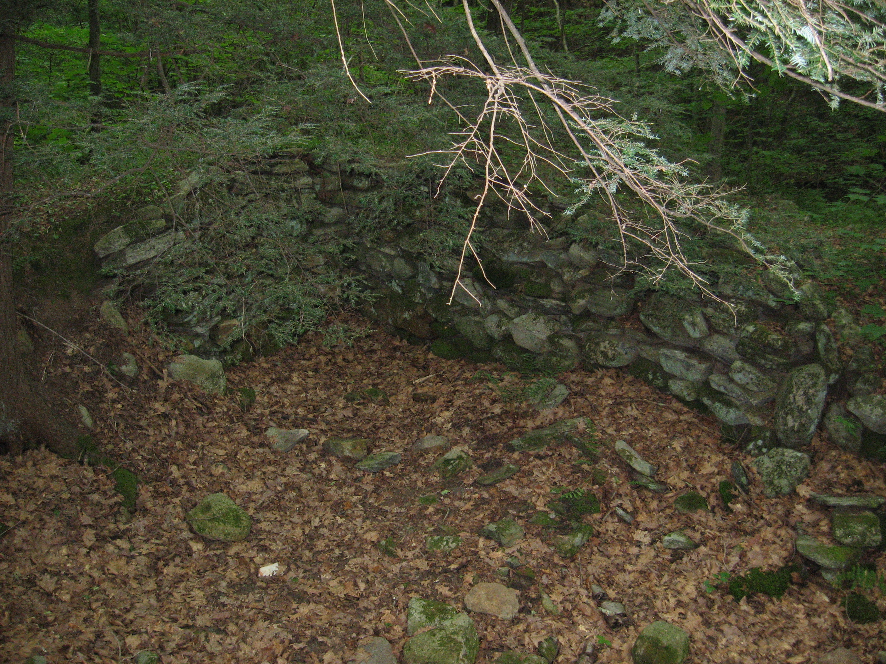
| 1480.3 | Caesar Road, Caesar Brook Campsite (760') | 760 |
| 1482.5 | Carse Brook (810') | 810 |
| 1482.6 | West Cornwall Road (800')West Cornwall, Conn. 06796 Sharon, Conn. 06069 | 800 |
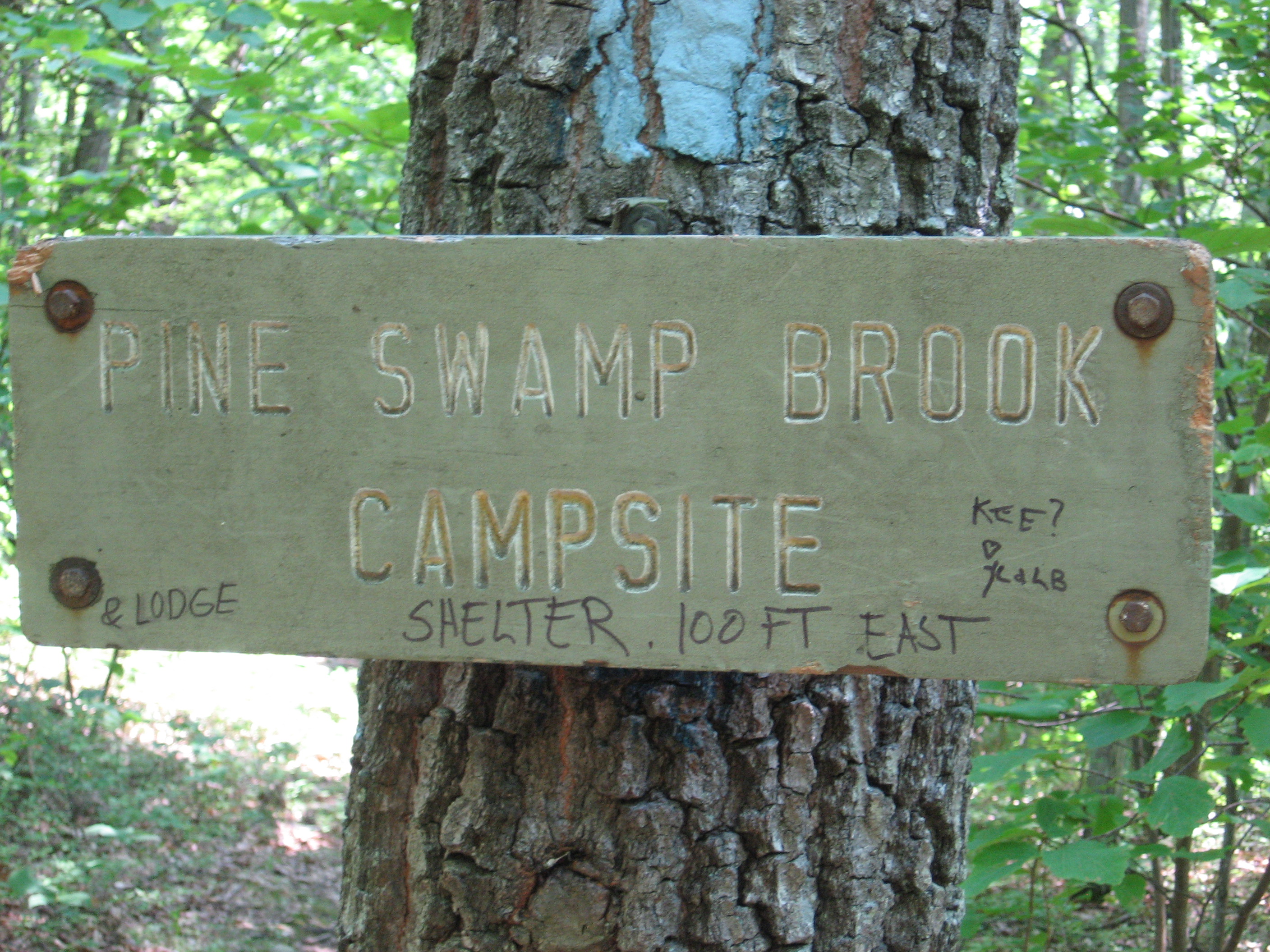
| 1483.7 | Pine Swamp Brook Shelter (1,075') ?10mS; 11.9mN | 1075 |


| Miles from Springer | Features | Elevation |
|---|---|---|
| 1484.6 | Mt. Easter Road (1,150') | 1150 |
| 1484.9 | Mt. Easter (1,350') | 1350 |
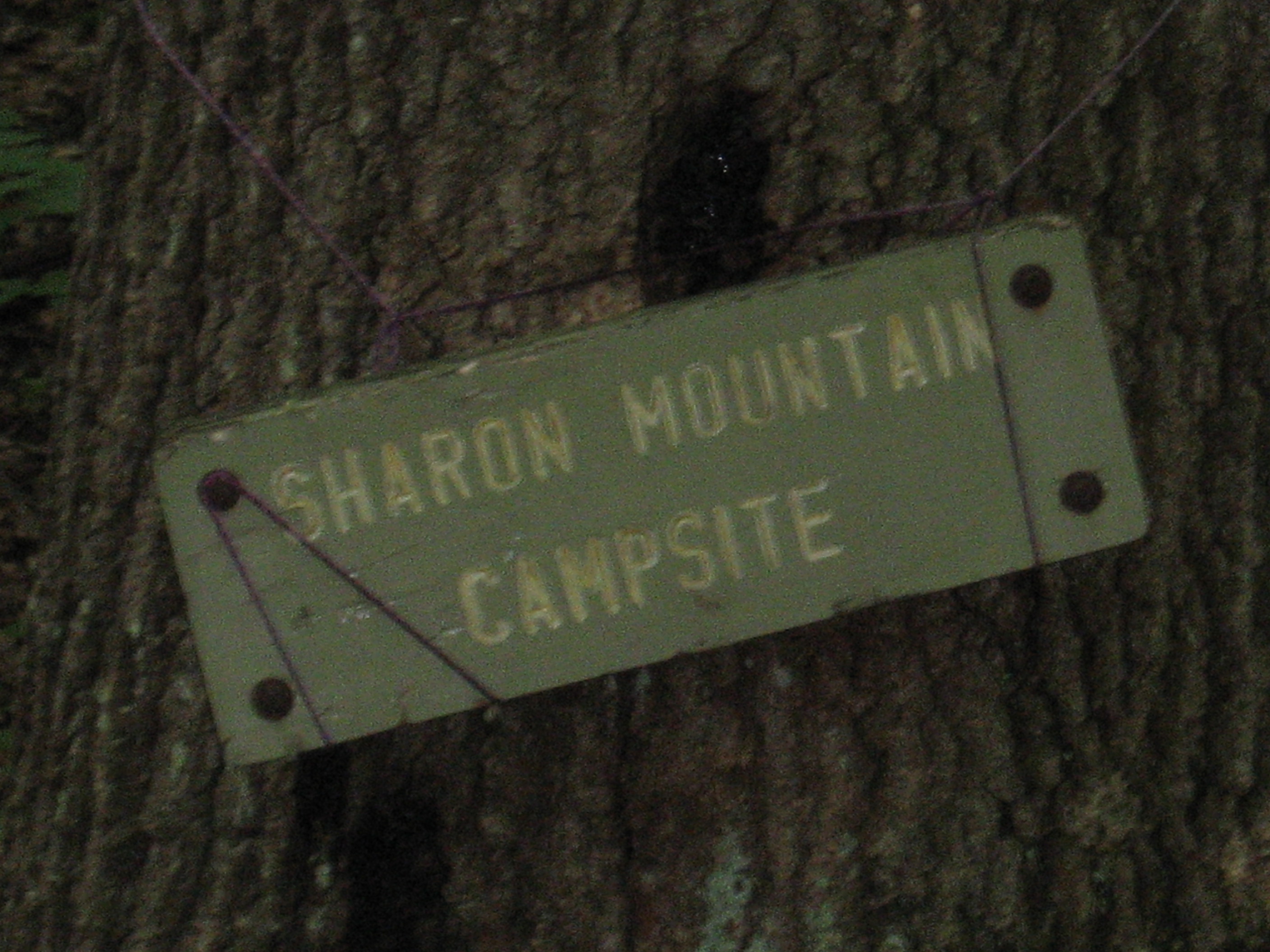
| 1486.1 | Sharon Mountain Campsite (1,200') | 1200 |
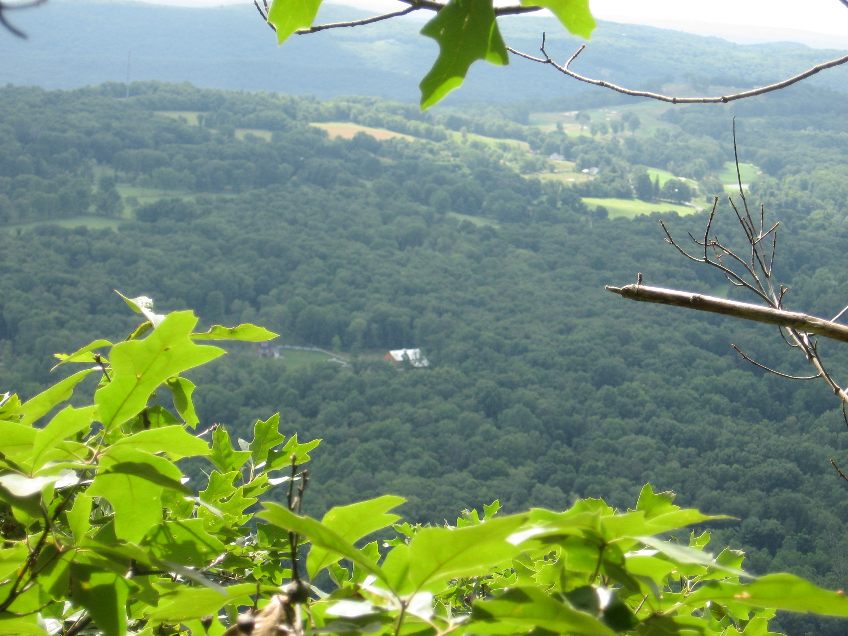
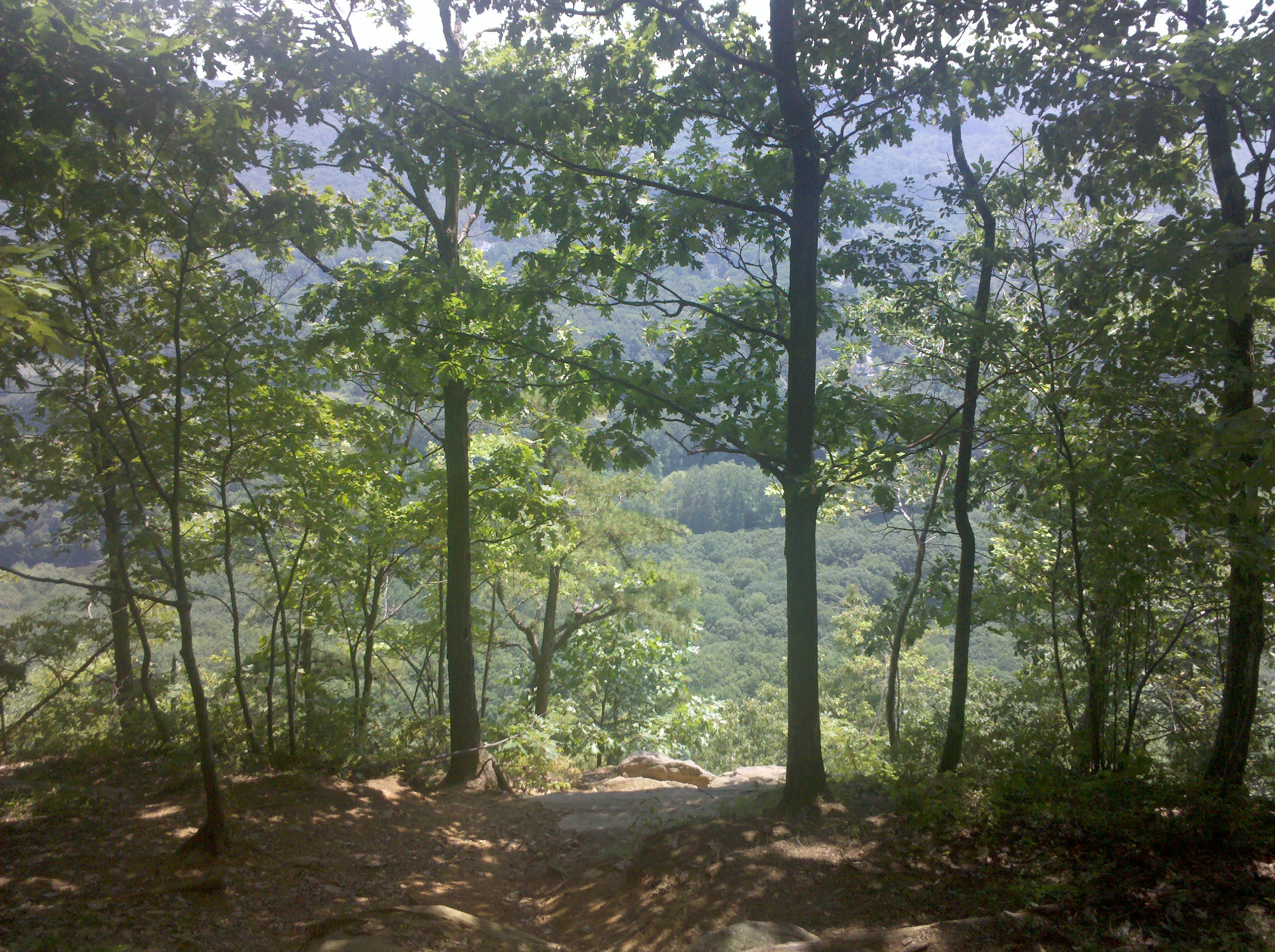
| 1486.9 | Hang Glider View (1,150') | 1150 |
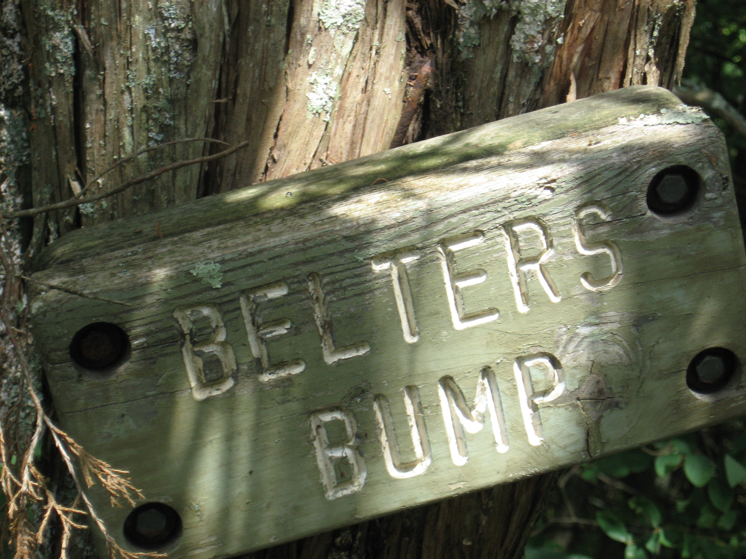
| 1488.9 | Belter's Campsite (770') | 770 |
| 1489.3 | U.S. 7, Conn. 112 (520') | 520 |
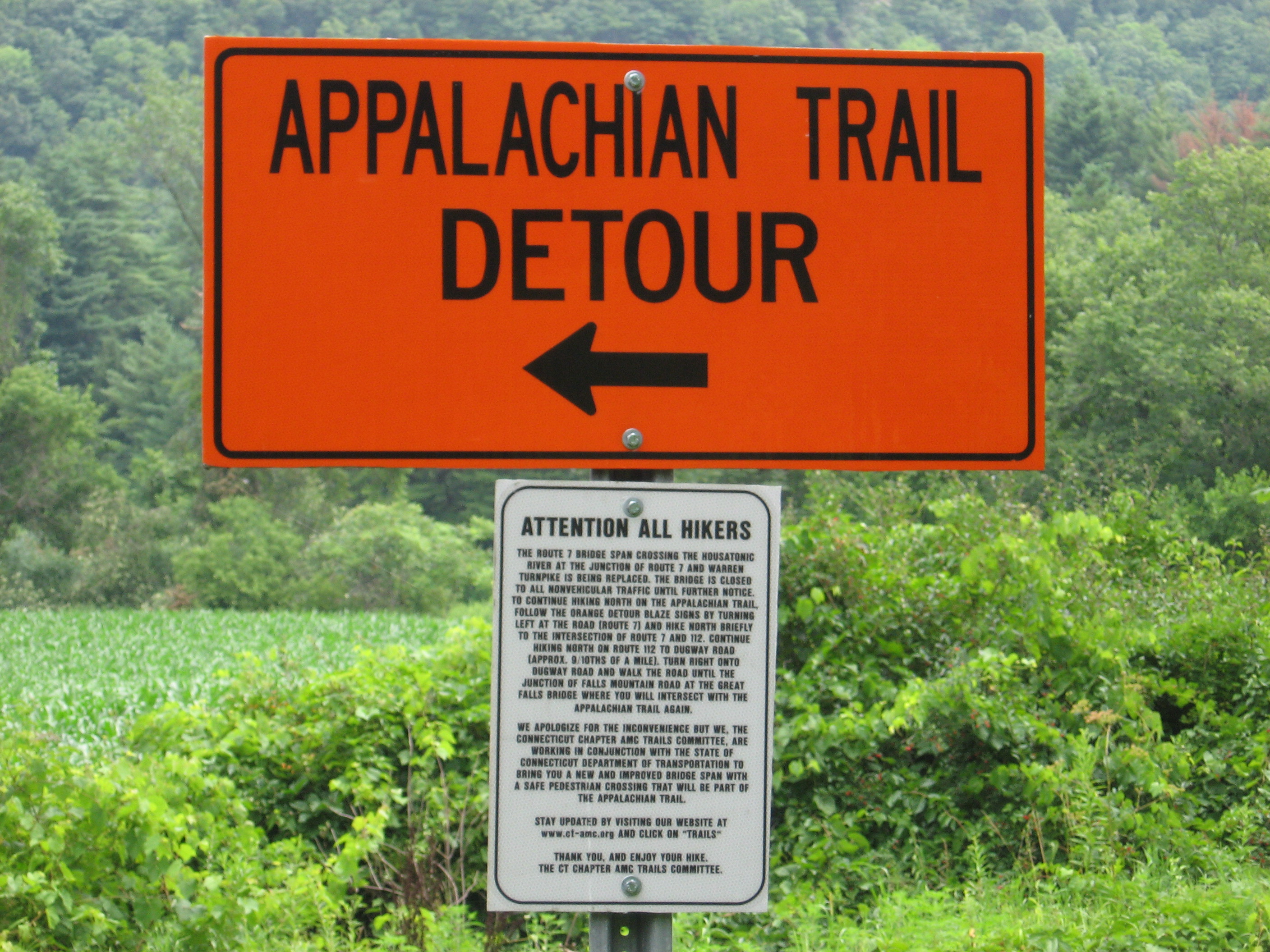
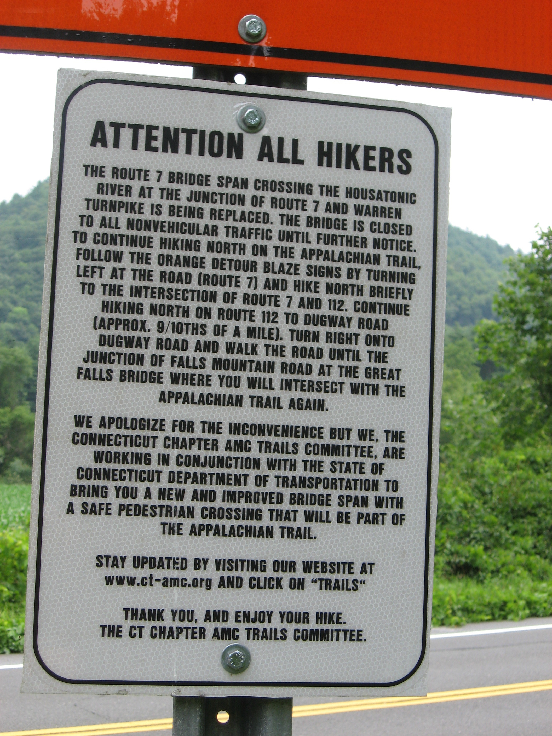
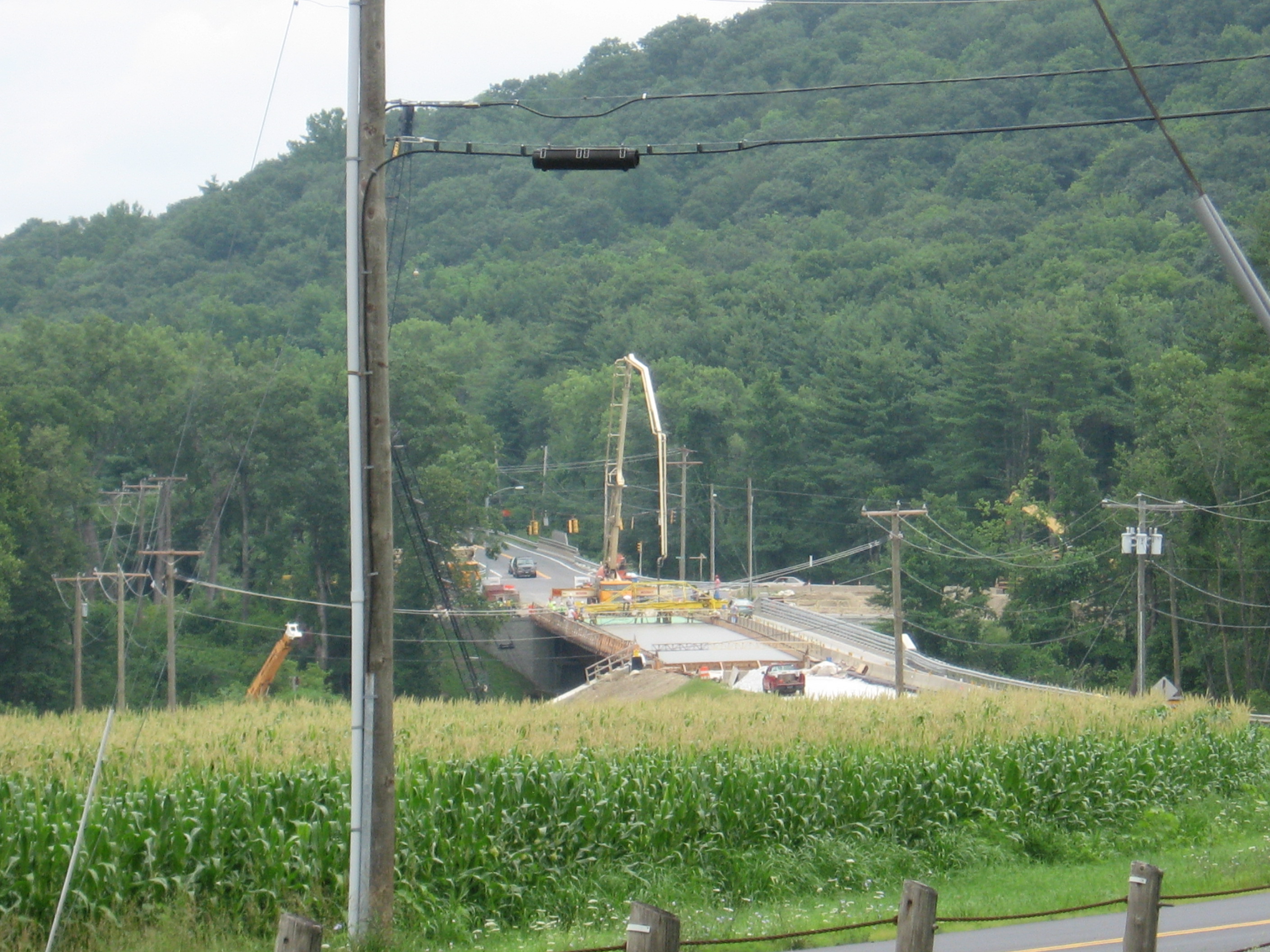
| 1489.9 | U.S. 7, Warren Turnpike, Housatonic River Bridge (500') | 500 |
| 1490 | Mohawk Trail Junction (500') | 500 |
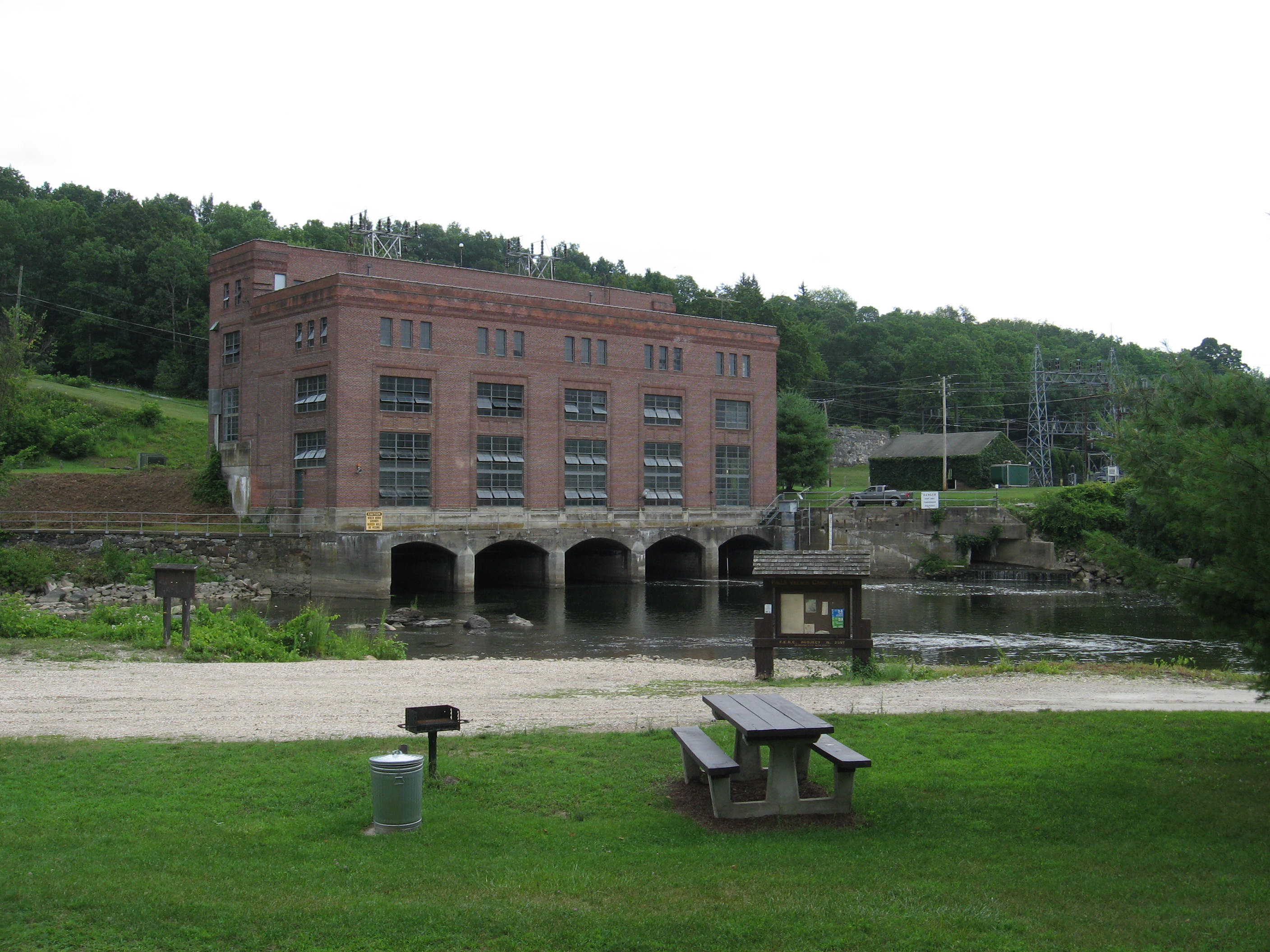
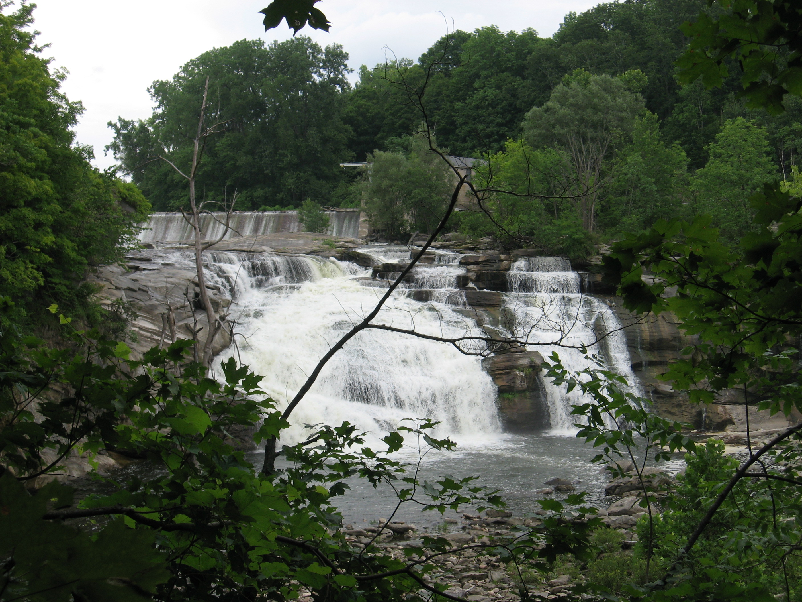
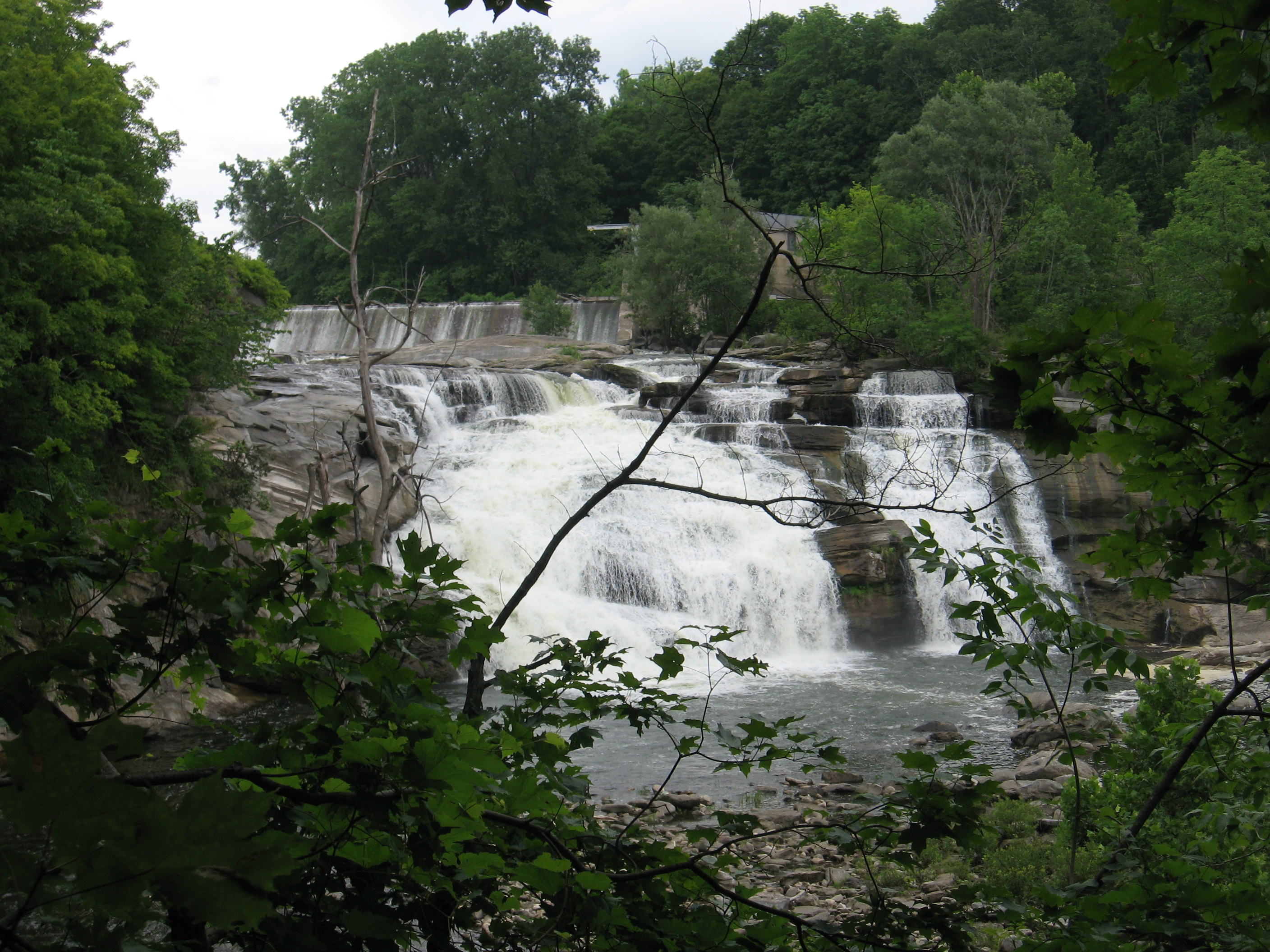
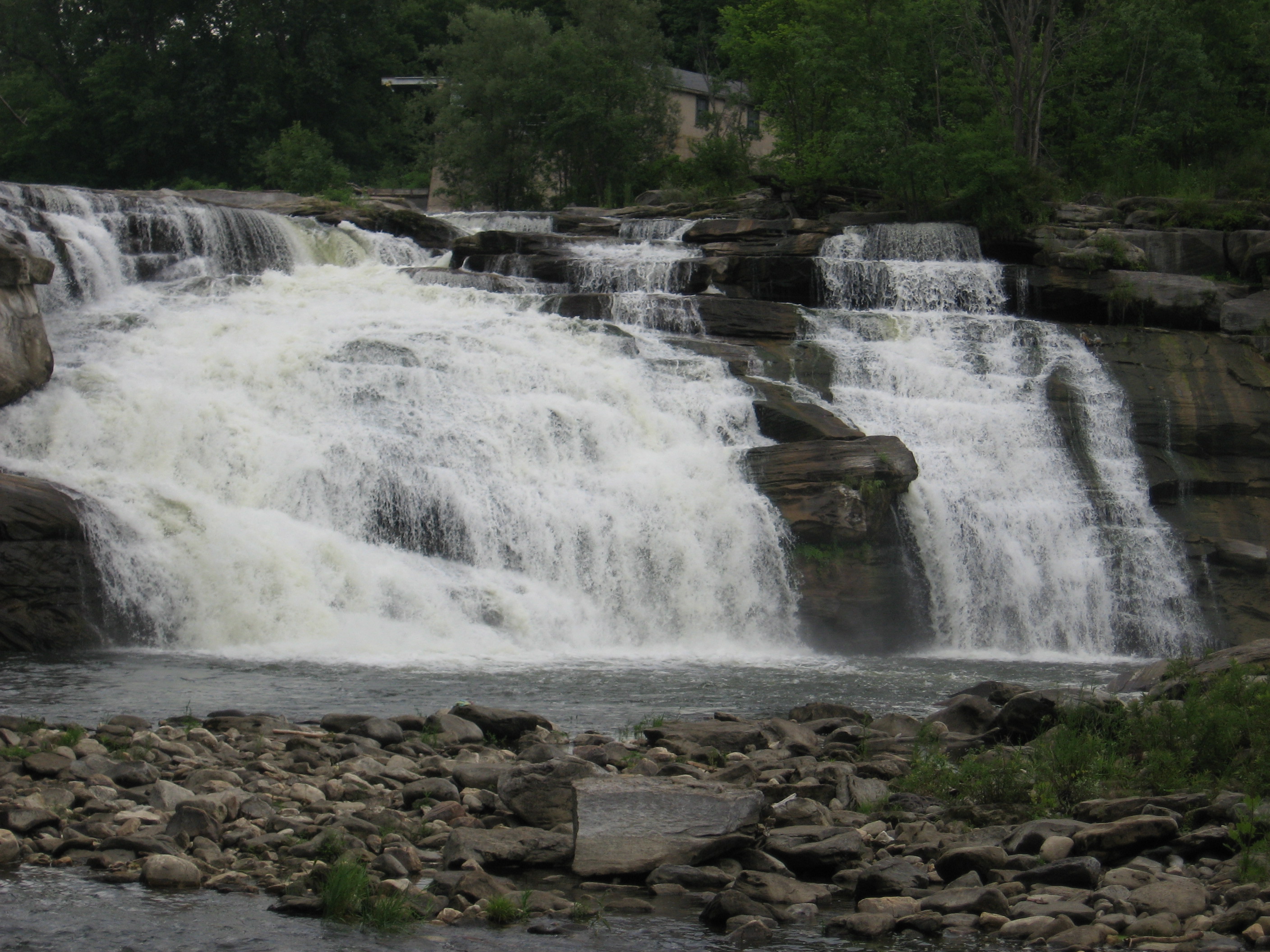
| 1491.8 | Water Street, Hydroelectric Plant (530') Falls Village, Conn. 06031 | 530 |
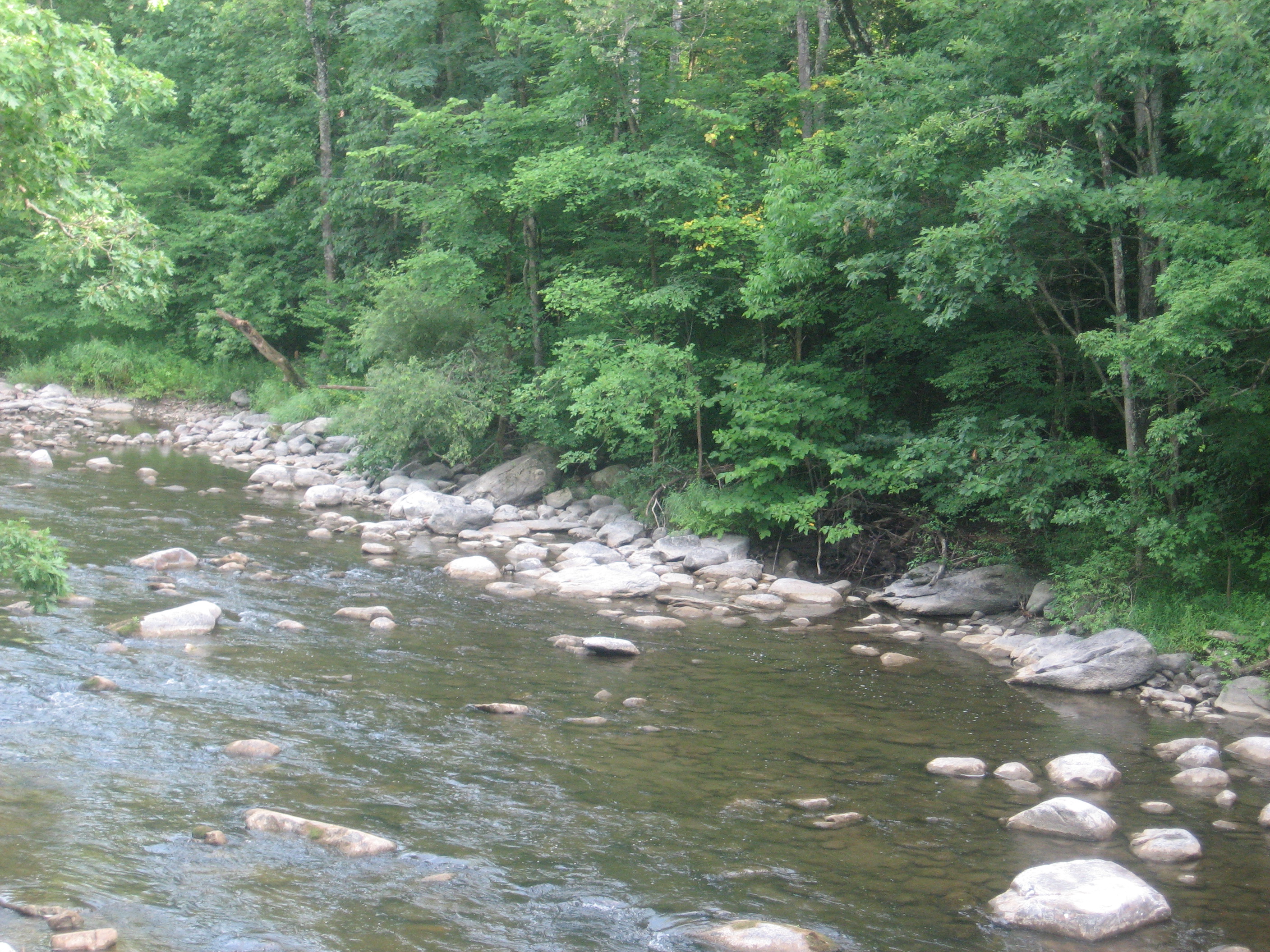
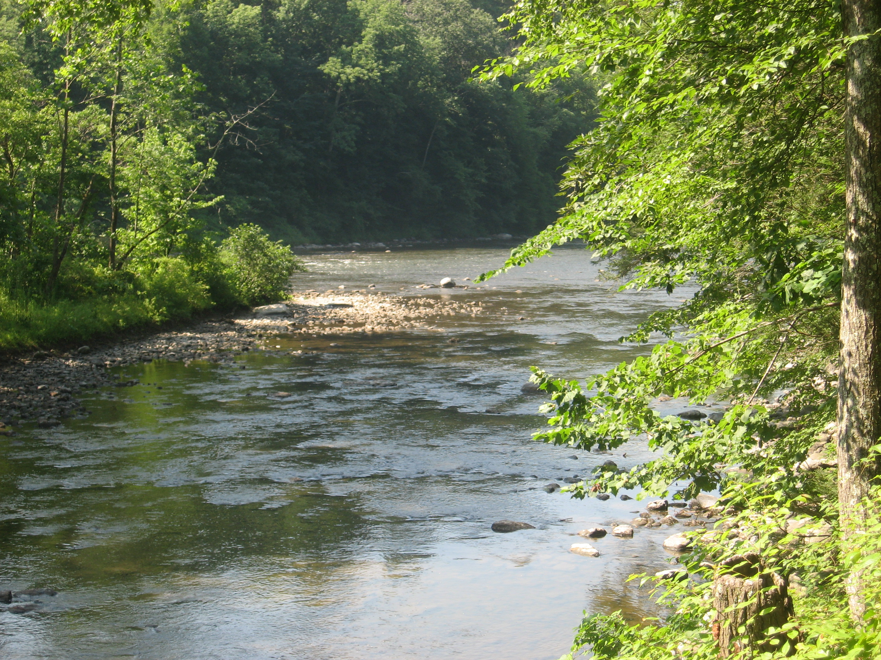
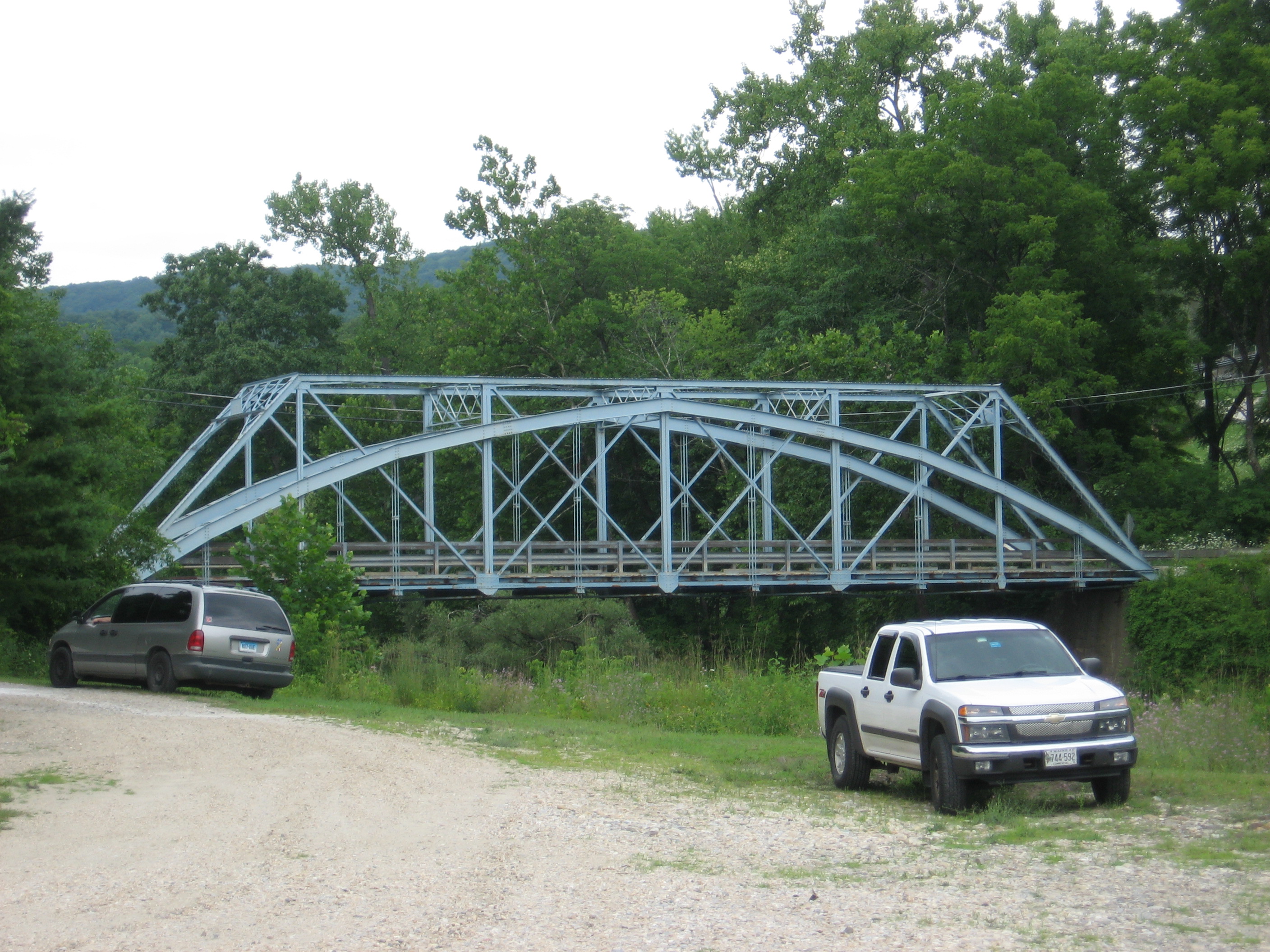
| 1491.9 | Iron Bridge (510')...Housatonic River, picnic area | 510 |
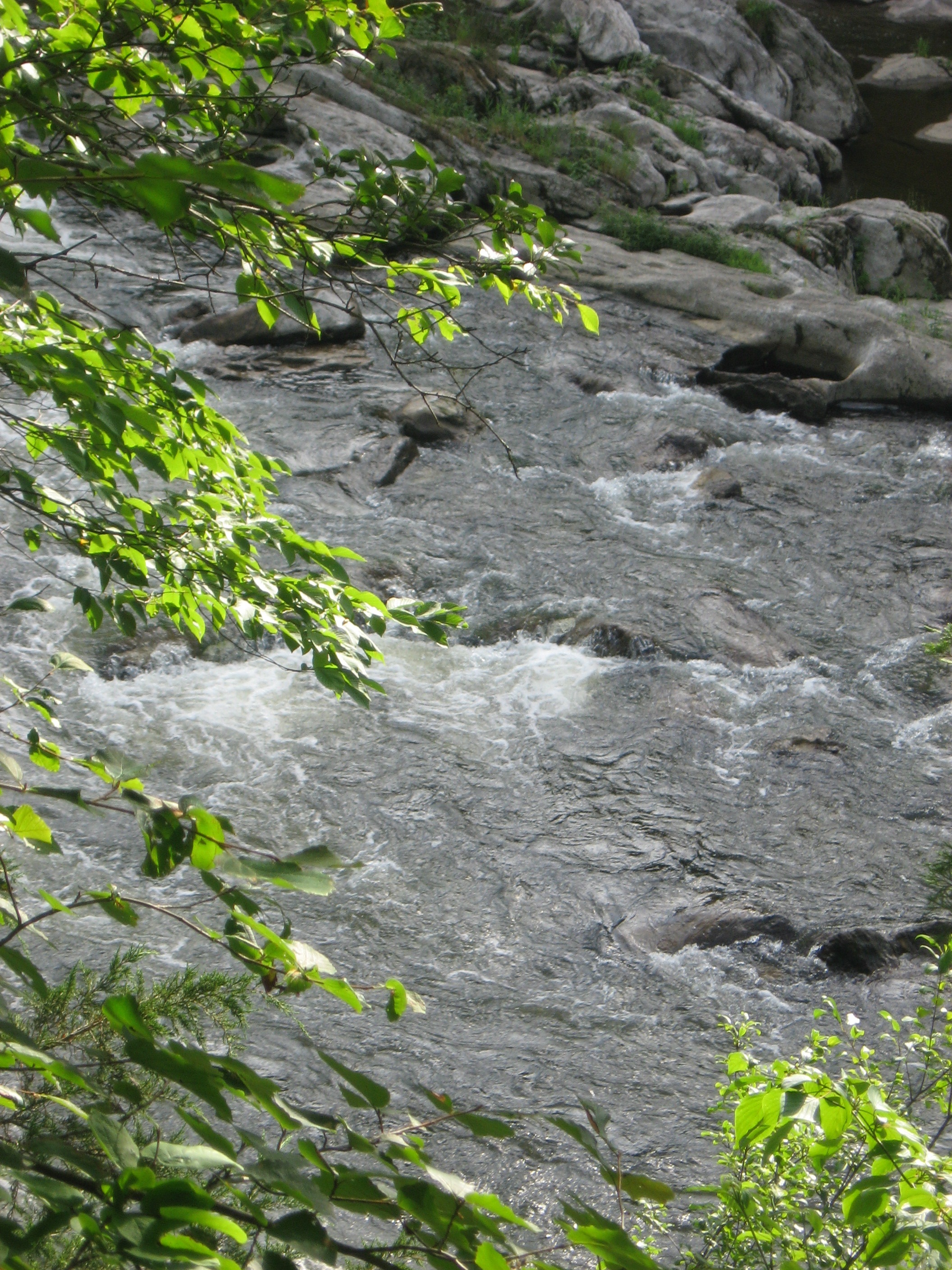
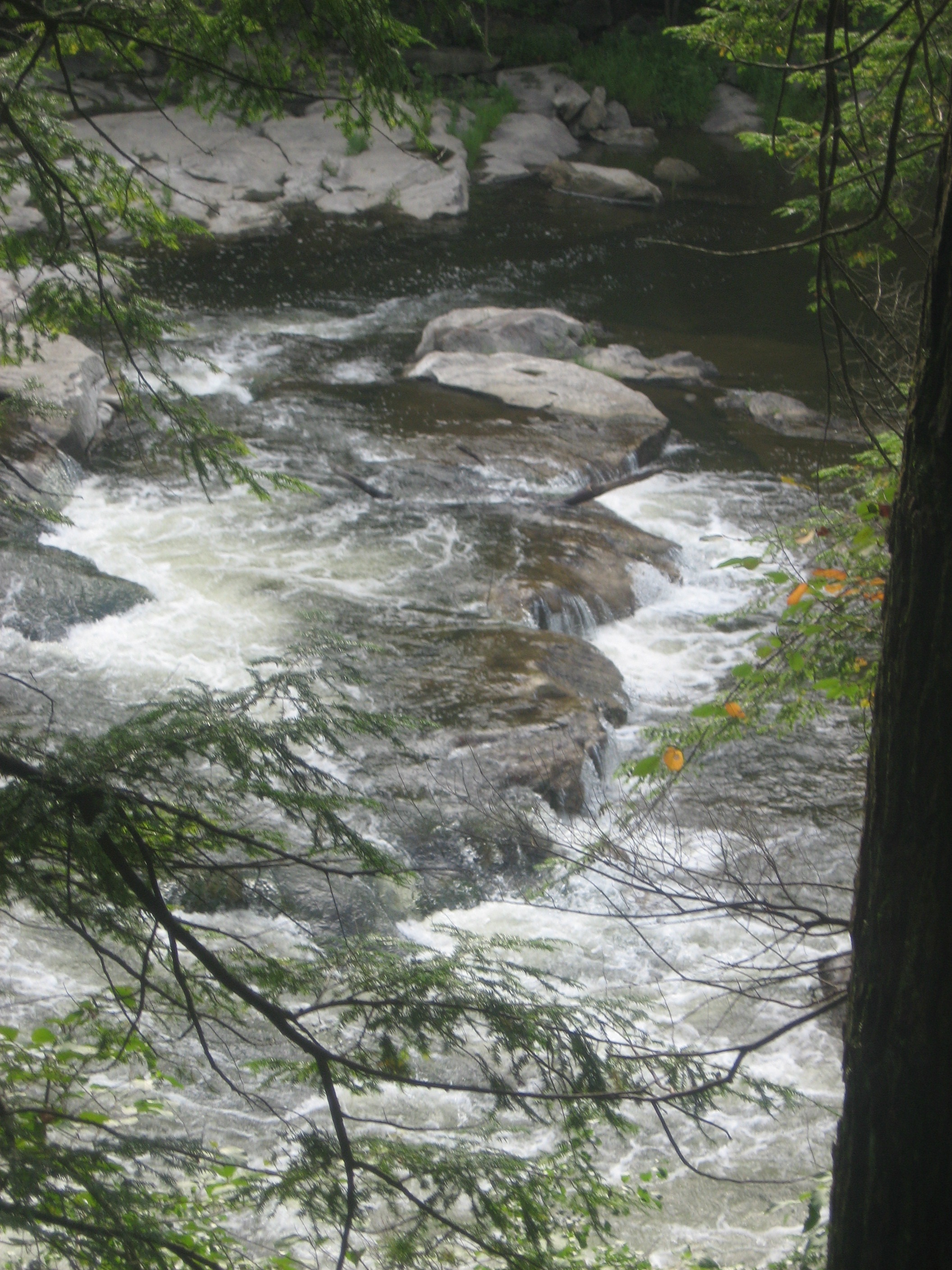
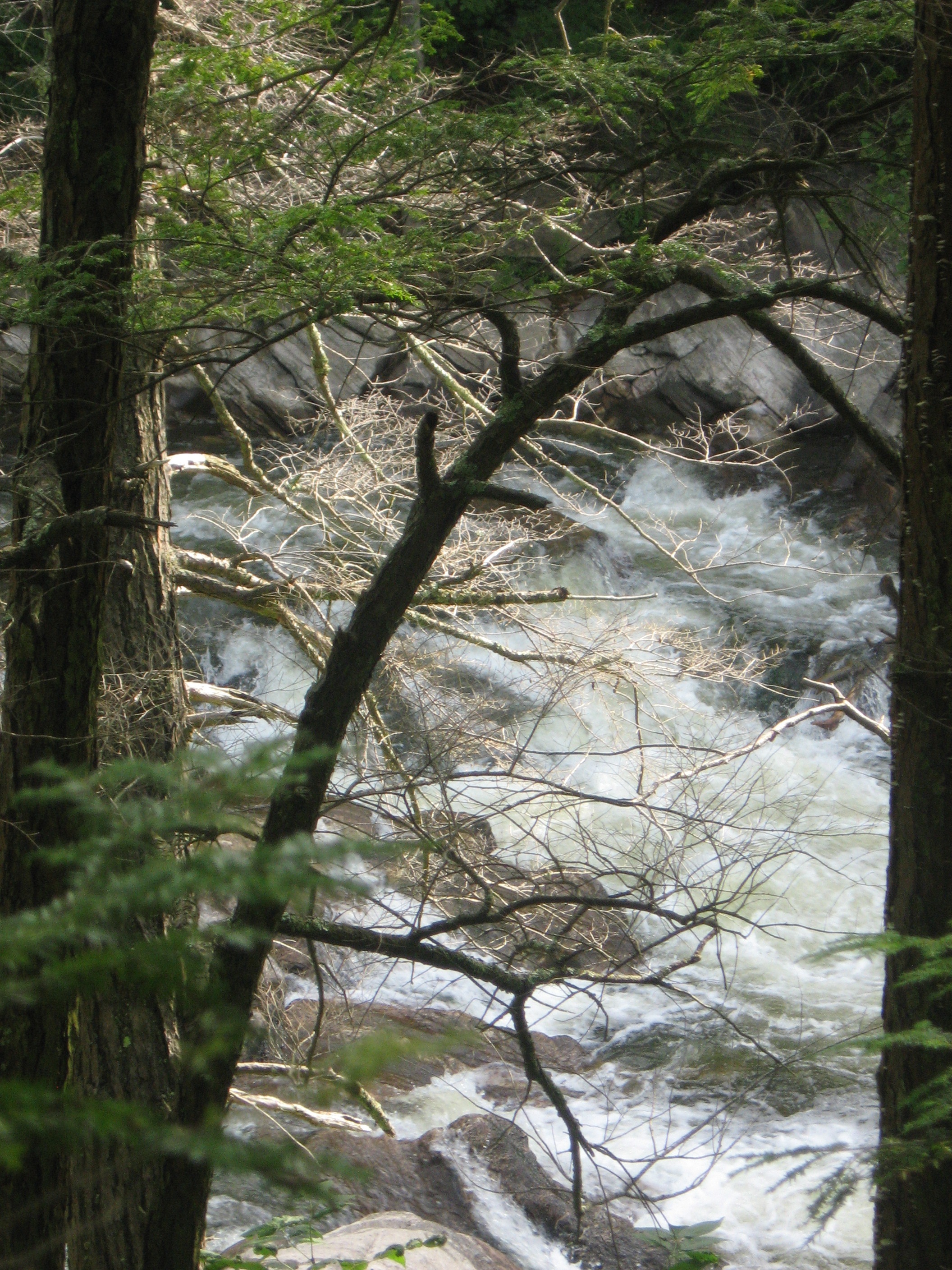
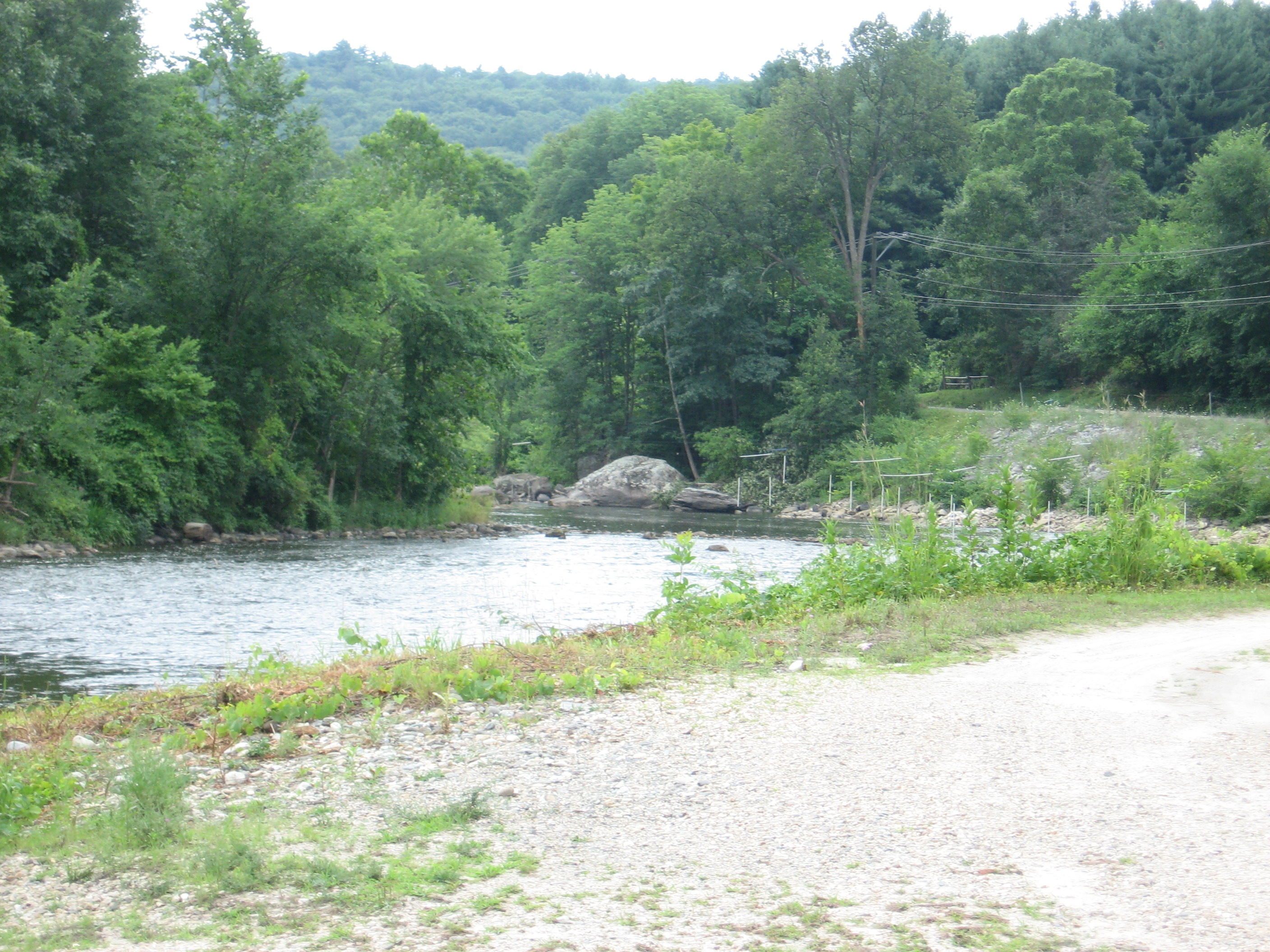
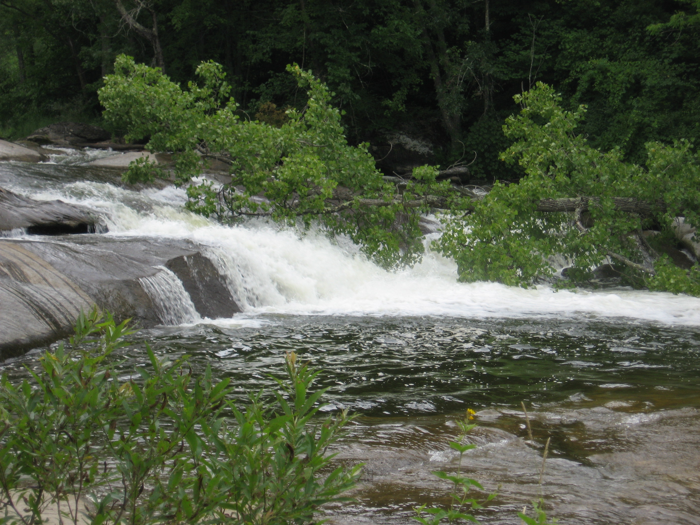
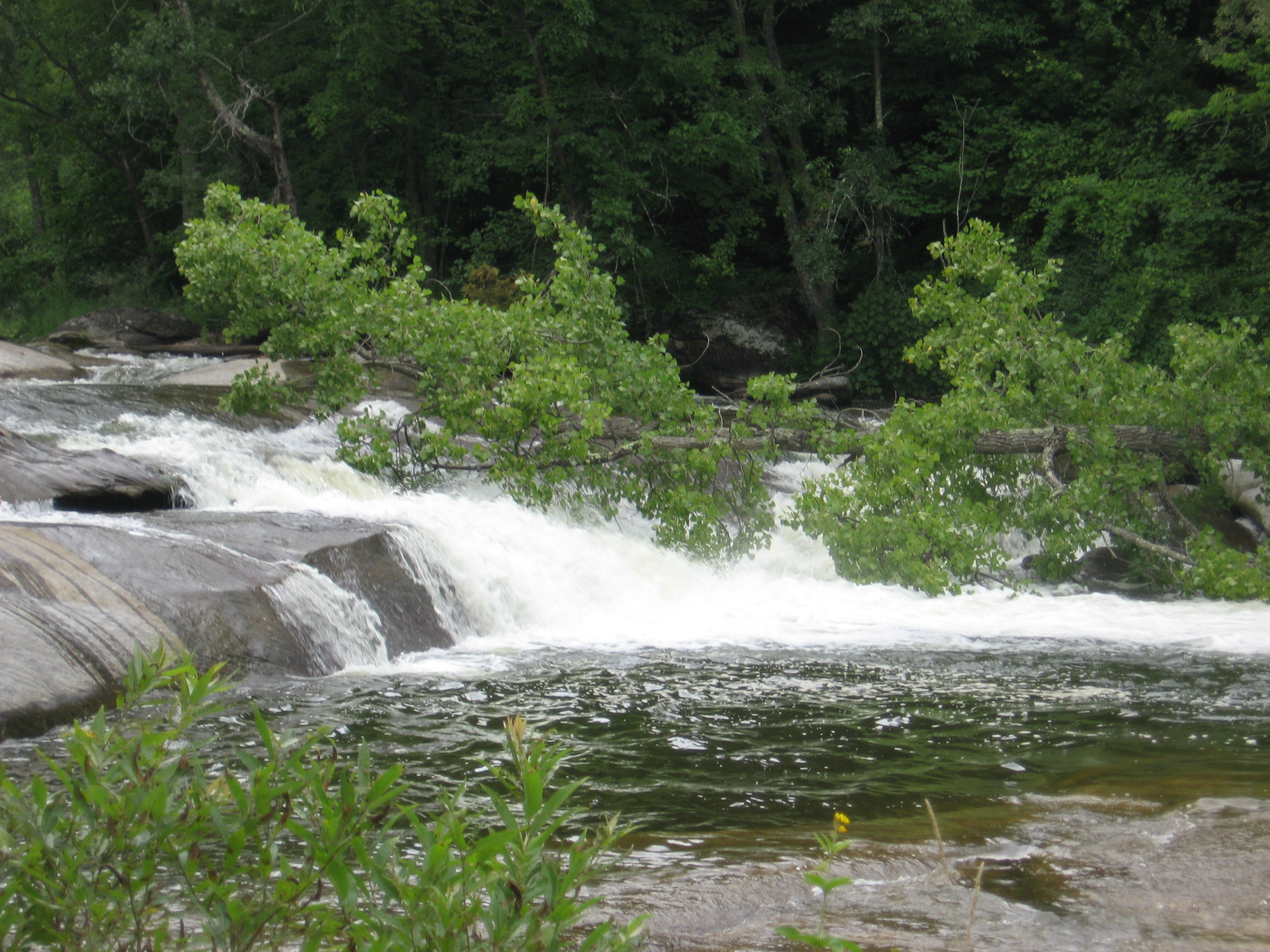
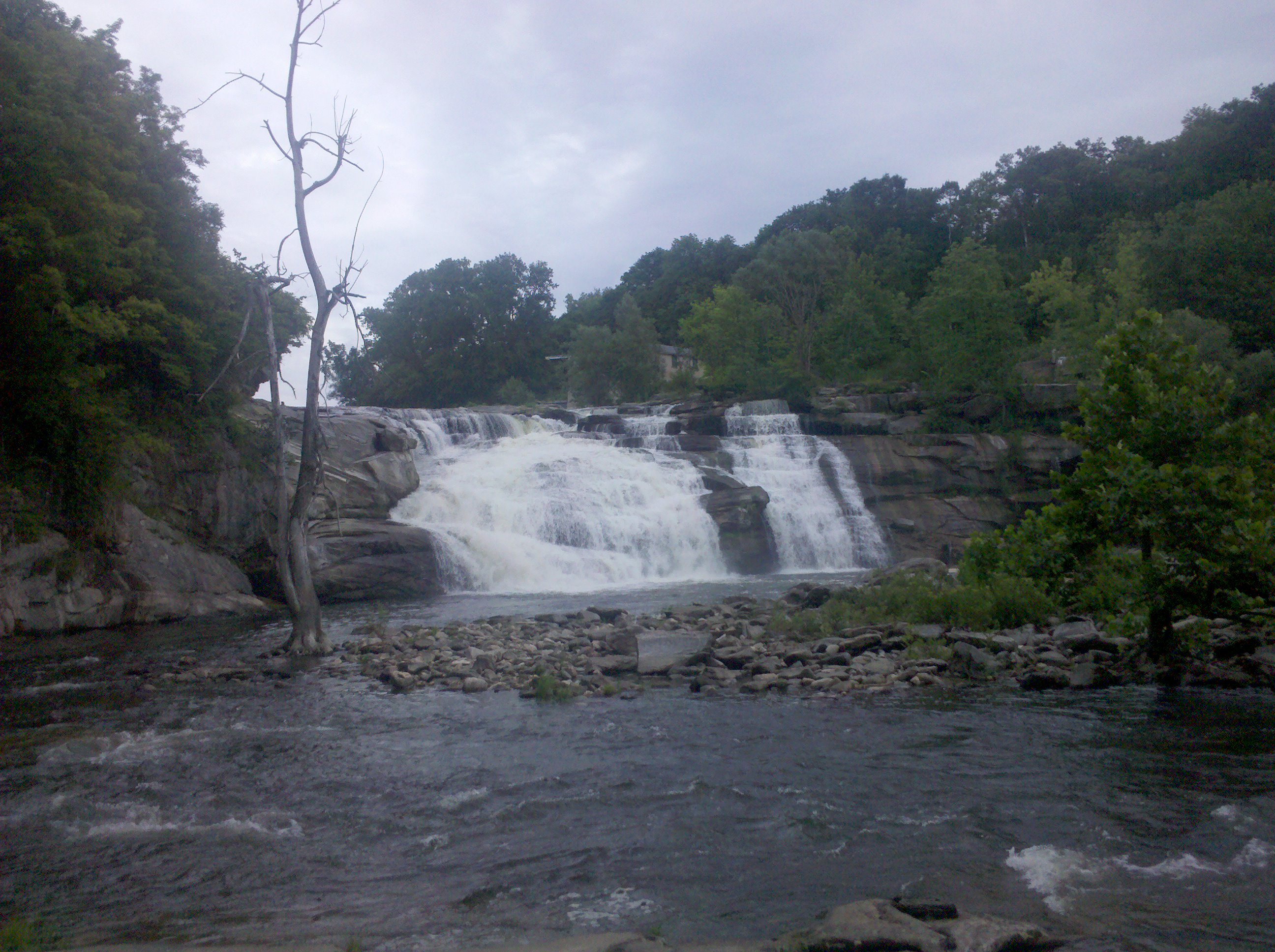
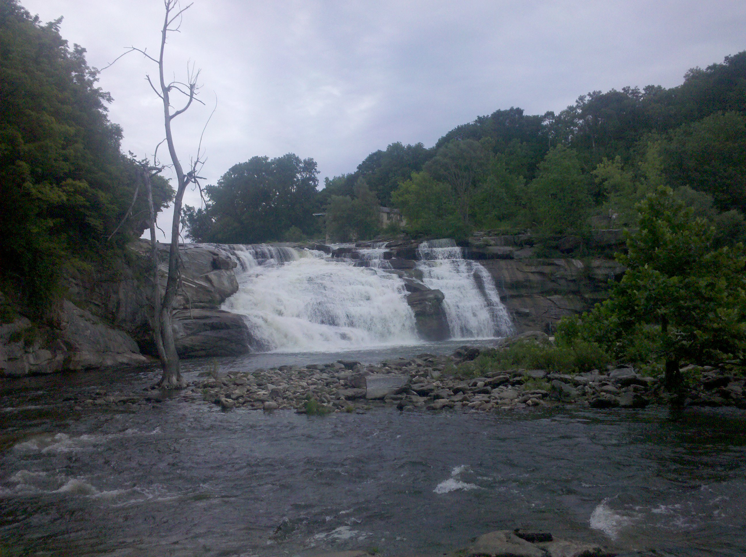
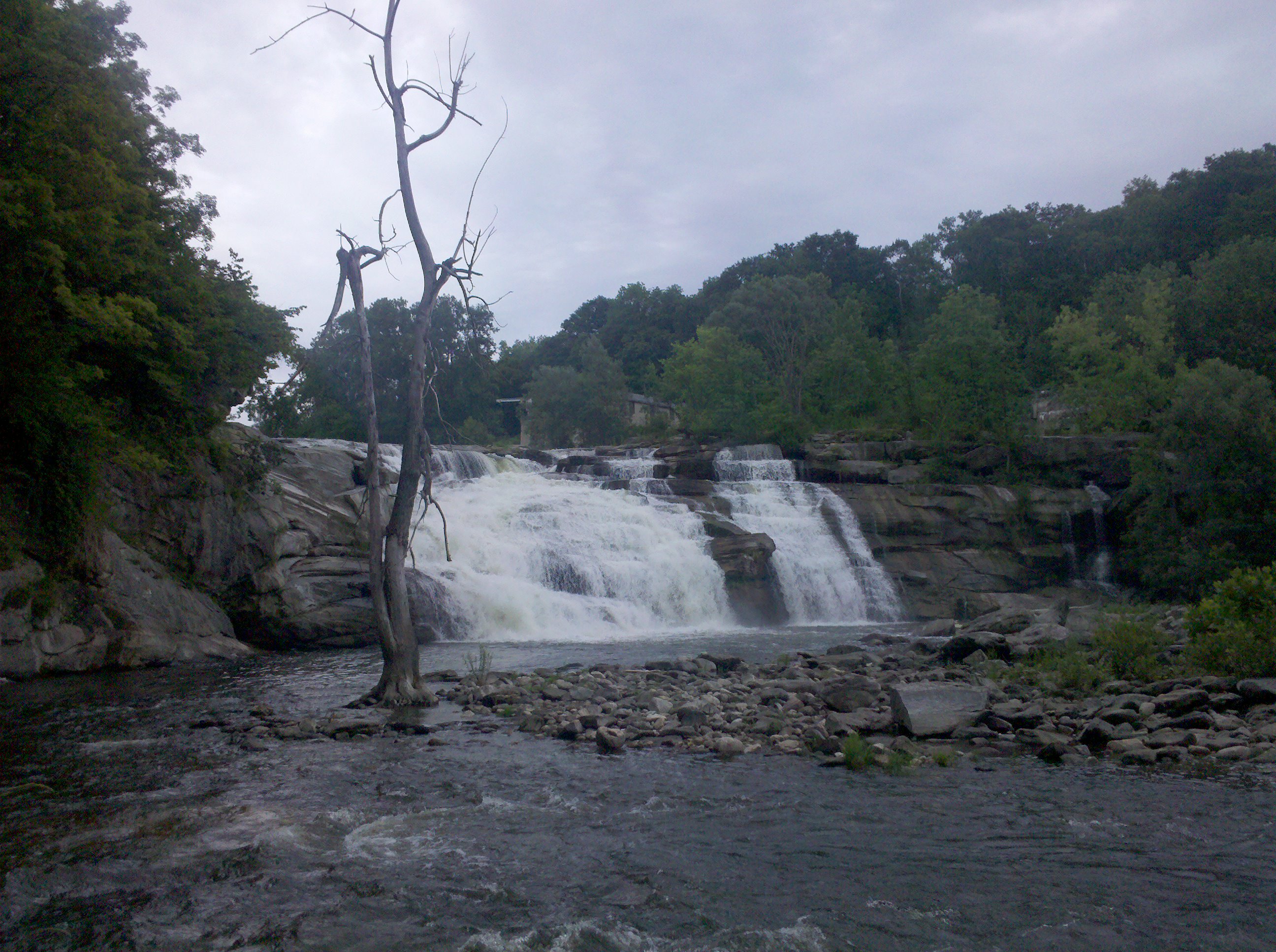
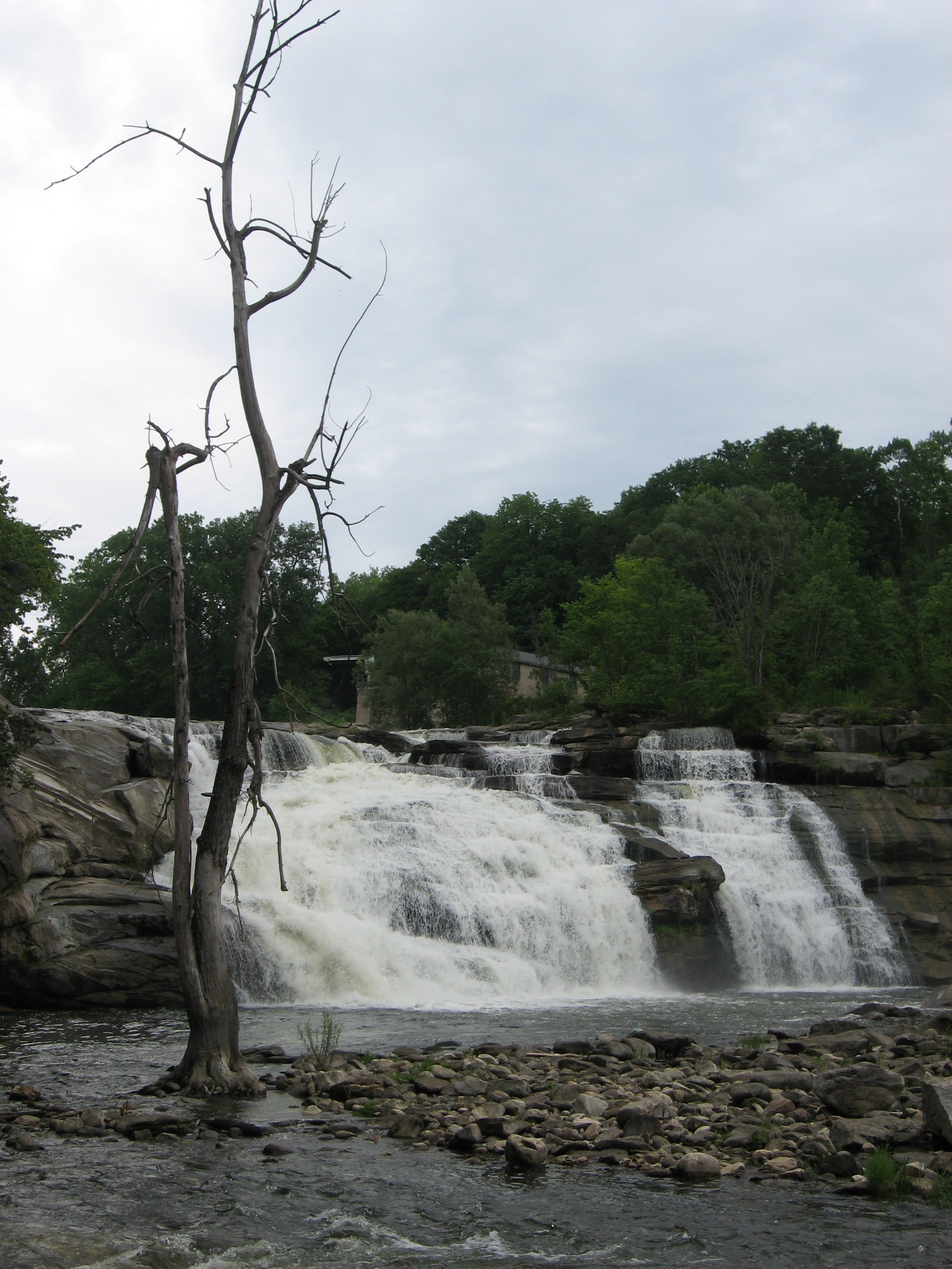
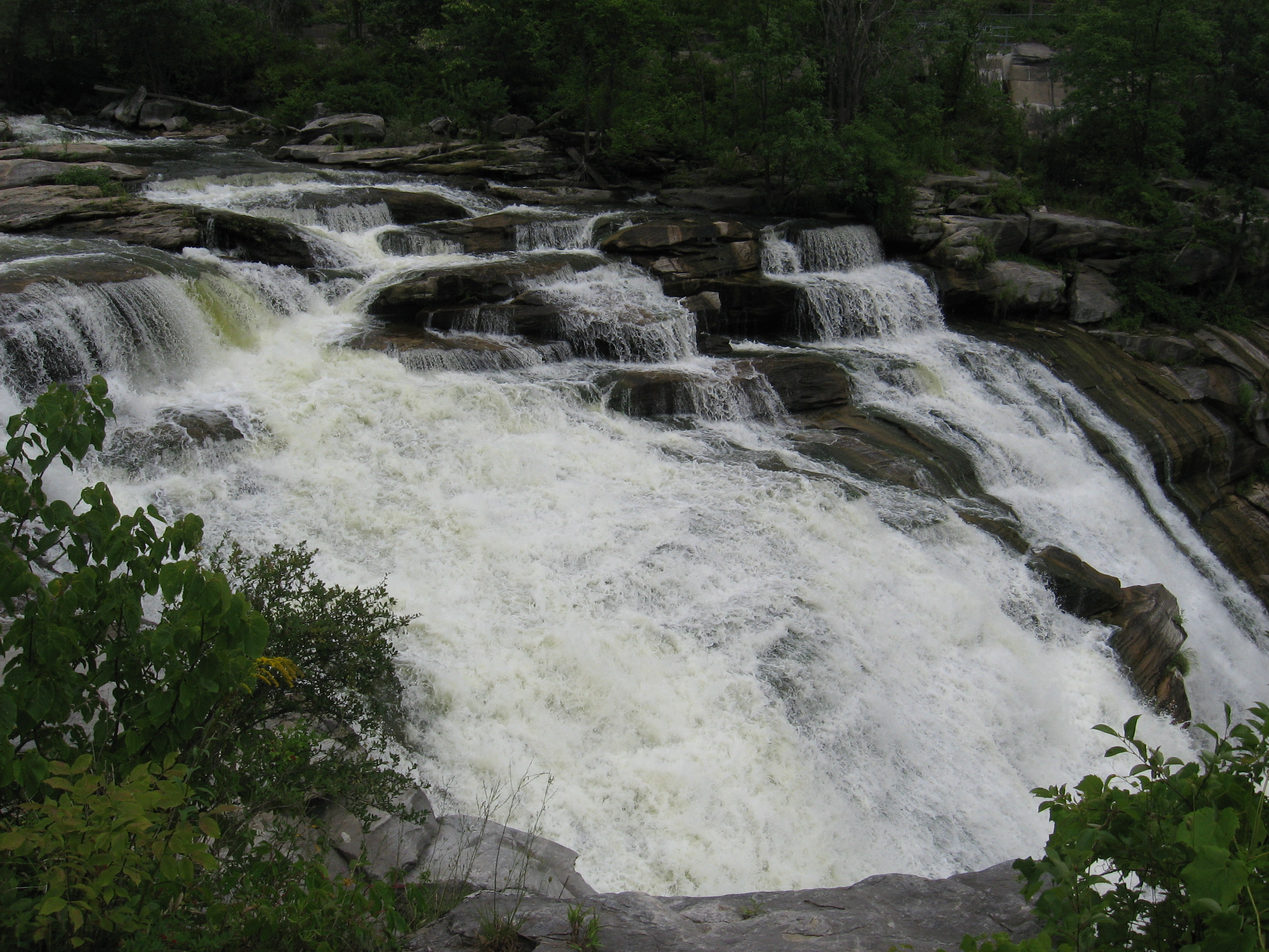
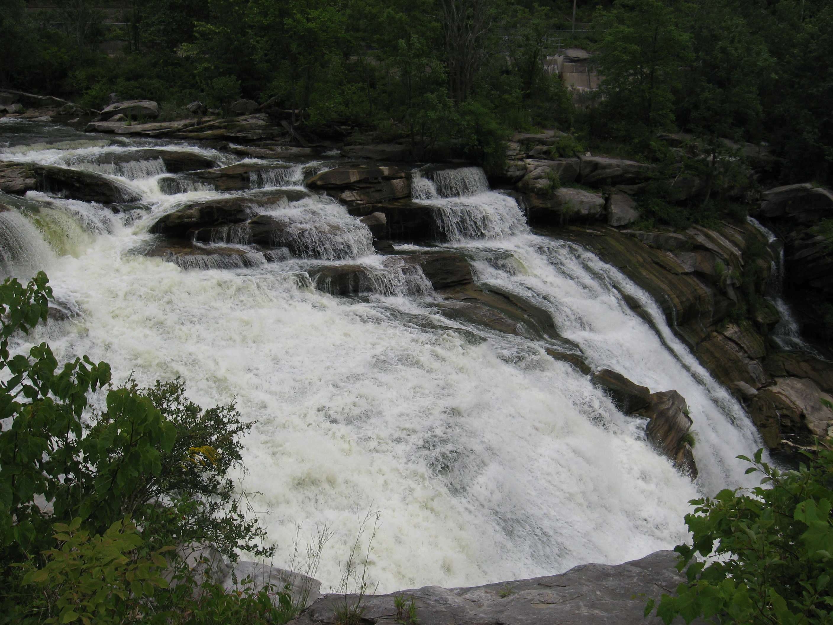
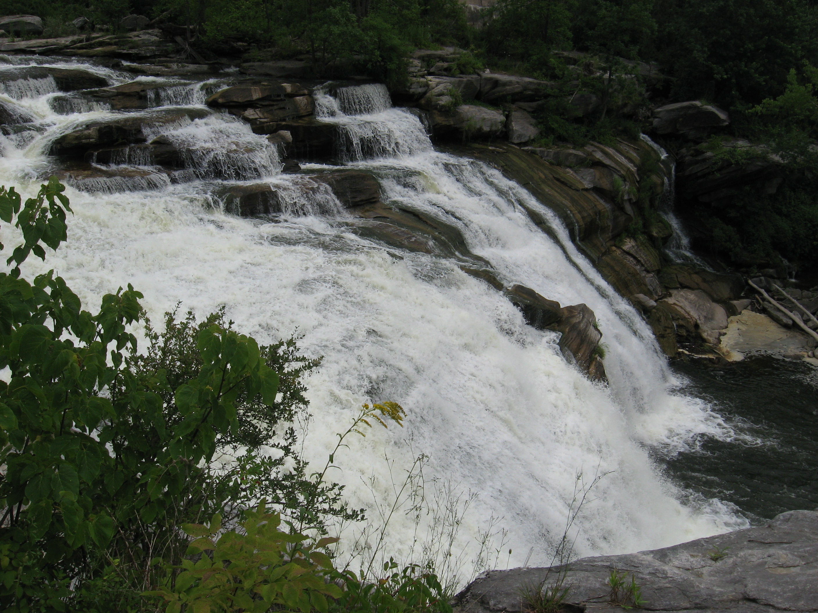
| 1492.5 | Housatonic River Road (650')?Great Falls | 650 |
| 1493 | Spring (750') | 750 |
| 1494.4 | Prospect Mountain (1,475') | 1475 |
| 1495.1 | Limestone Spring Shelter (980')?11.9mS; 8mN | 980 |


| Miles from Springer | Features | Elevation |
|---|---|---|
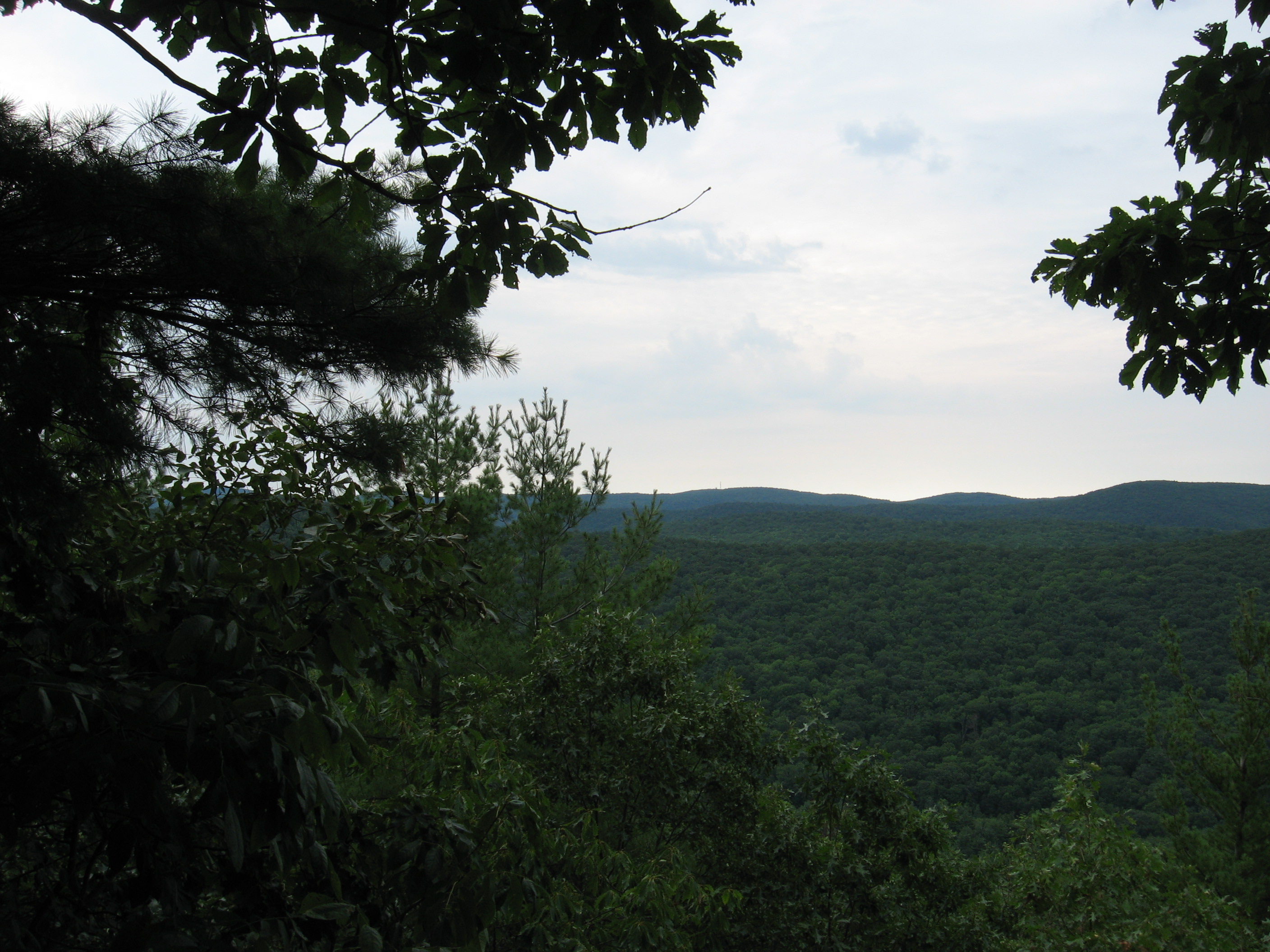
| 1495.2 | Rand's View (1,250') | 1250 |
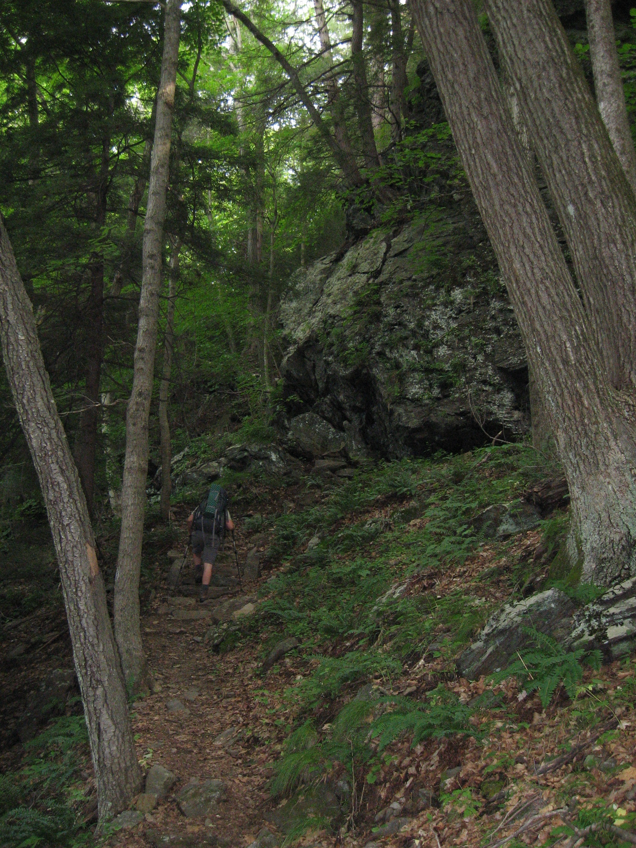
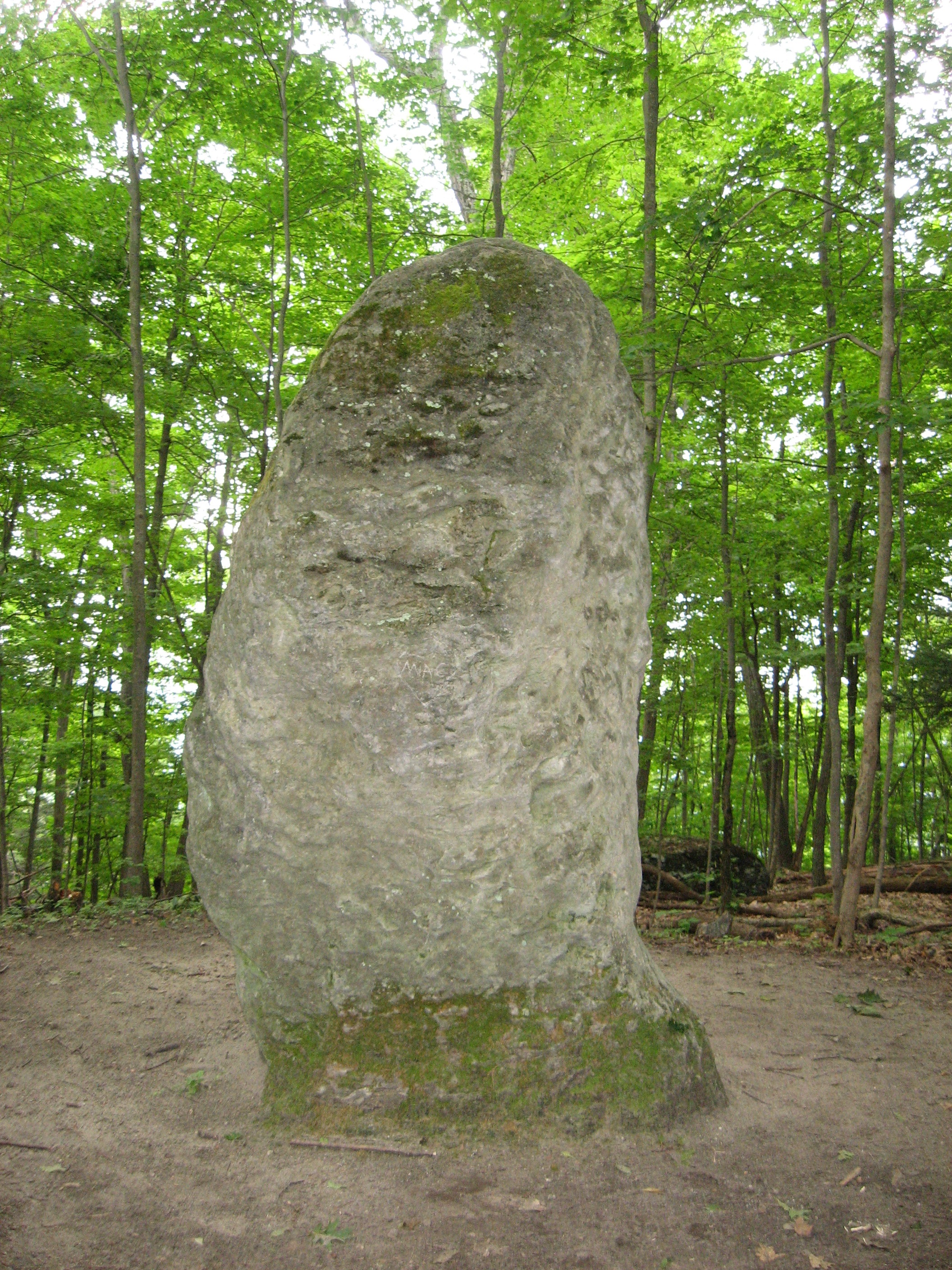
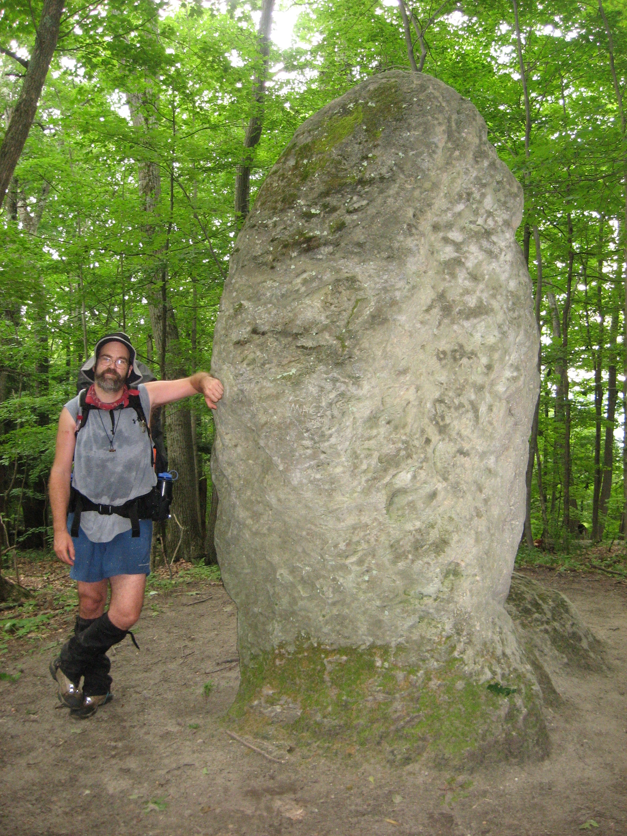
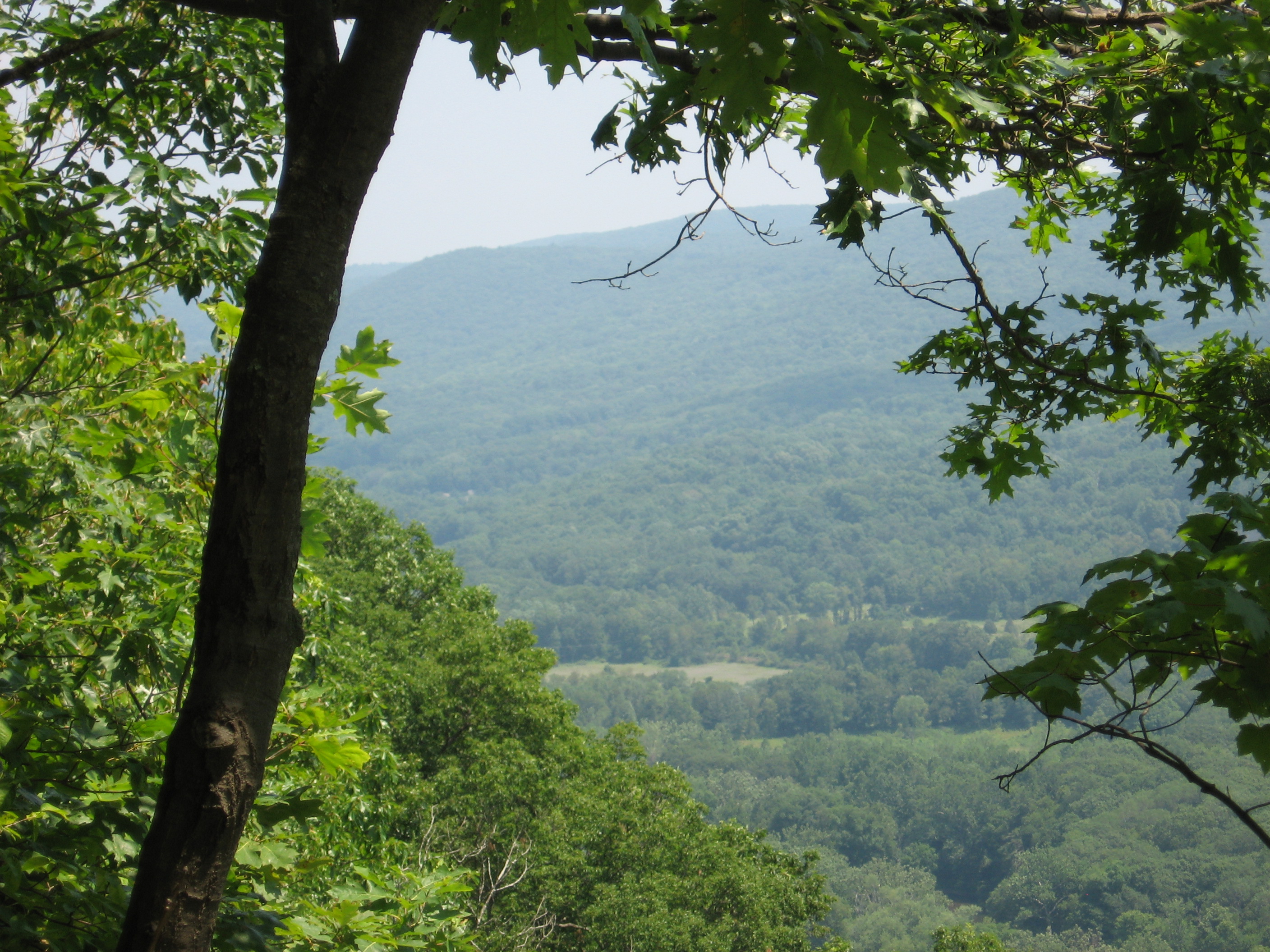
| 1495.7 | Giant's Thumb (1,220')?rock formation | 1220 |
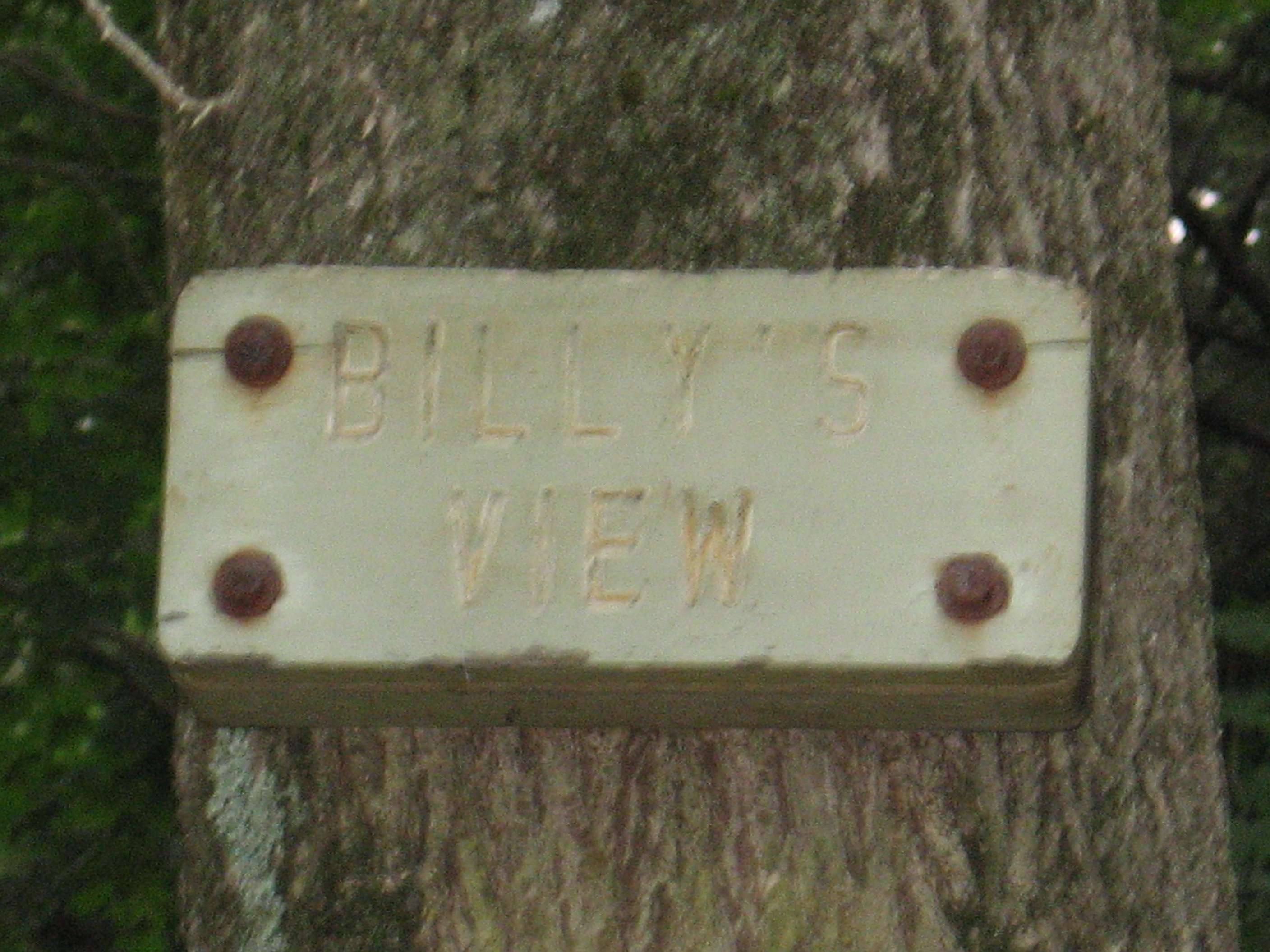
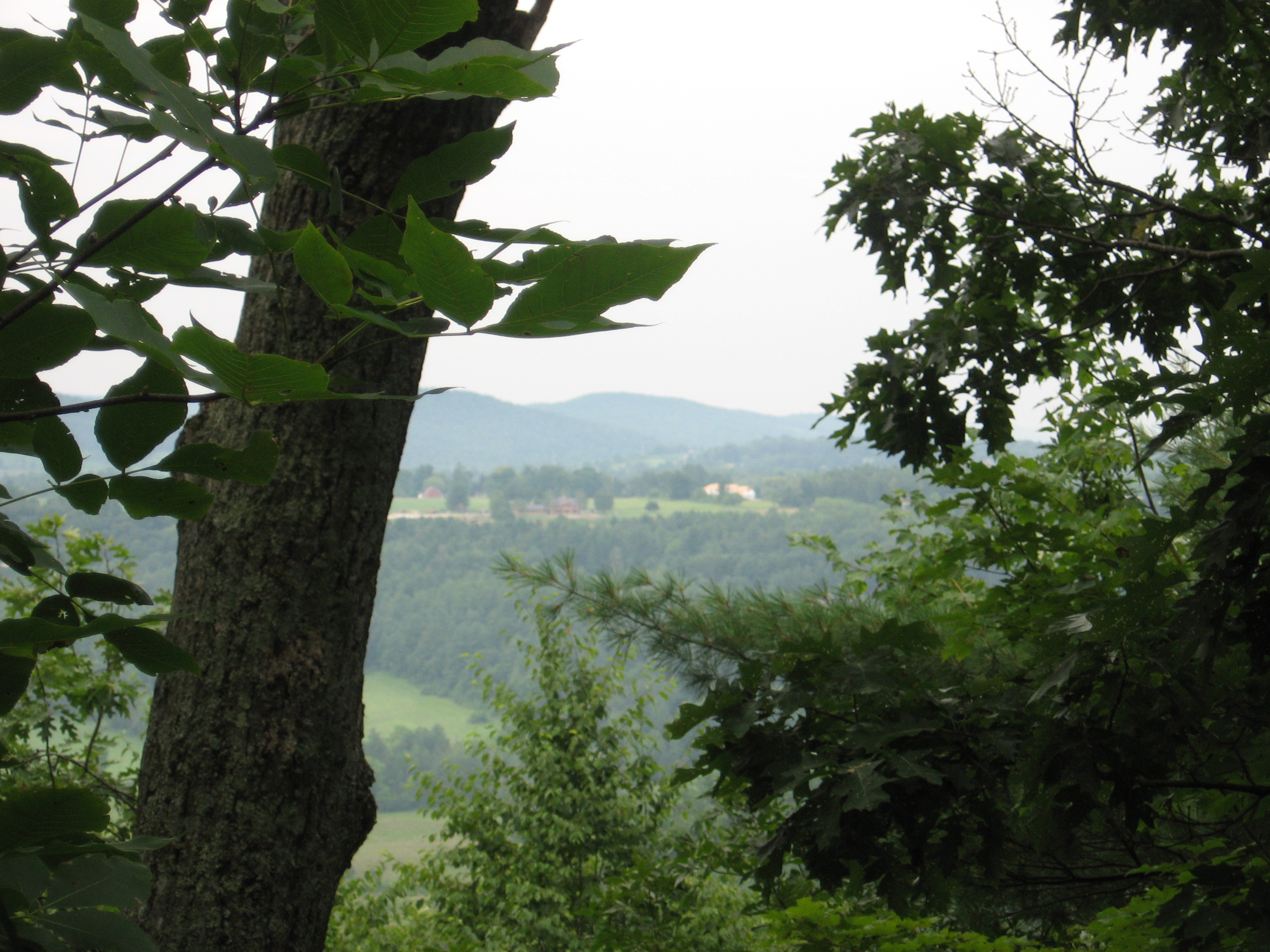
| 1496 | Billy's View (1,150') | 1150 |
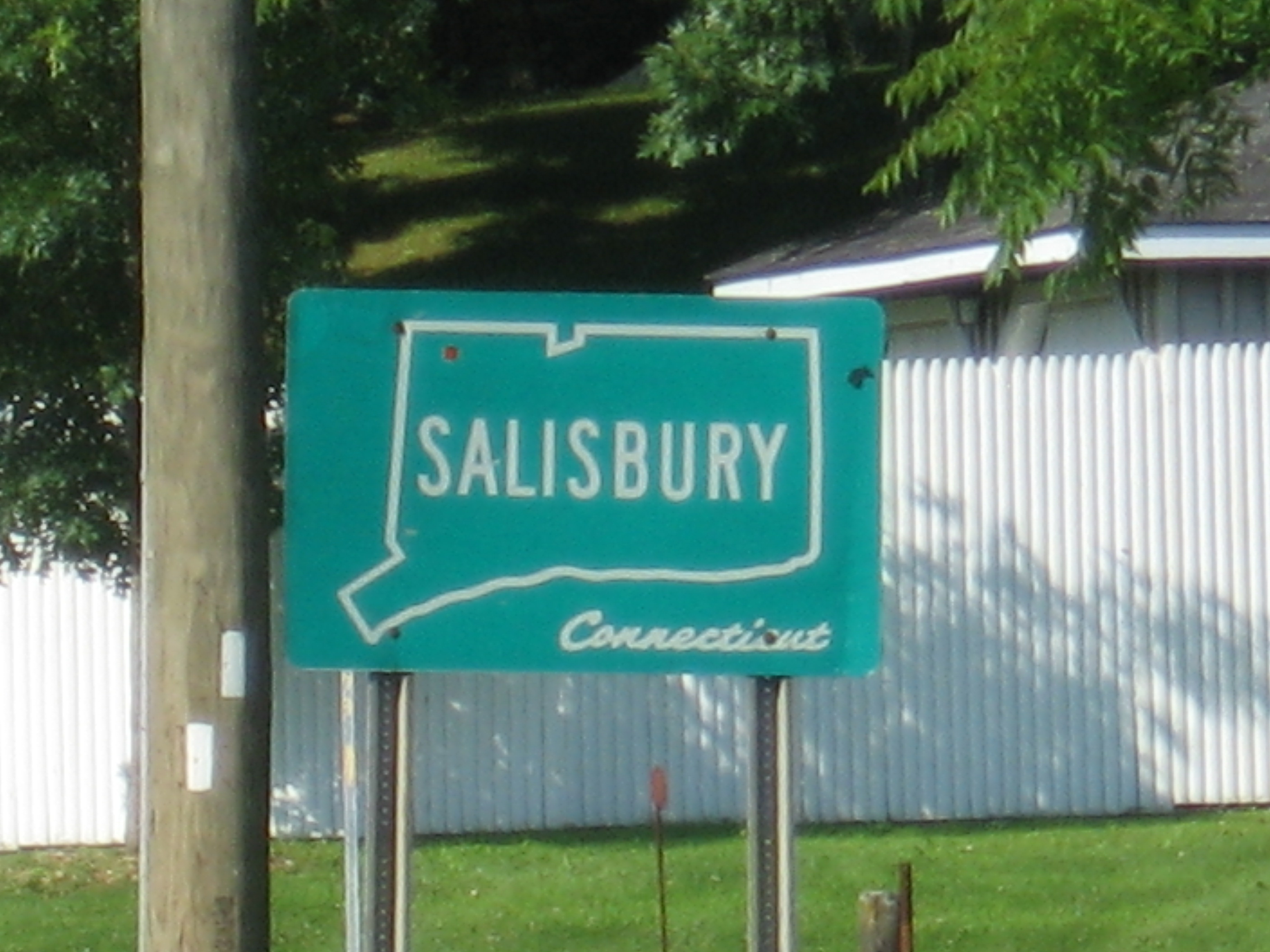
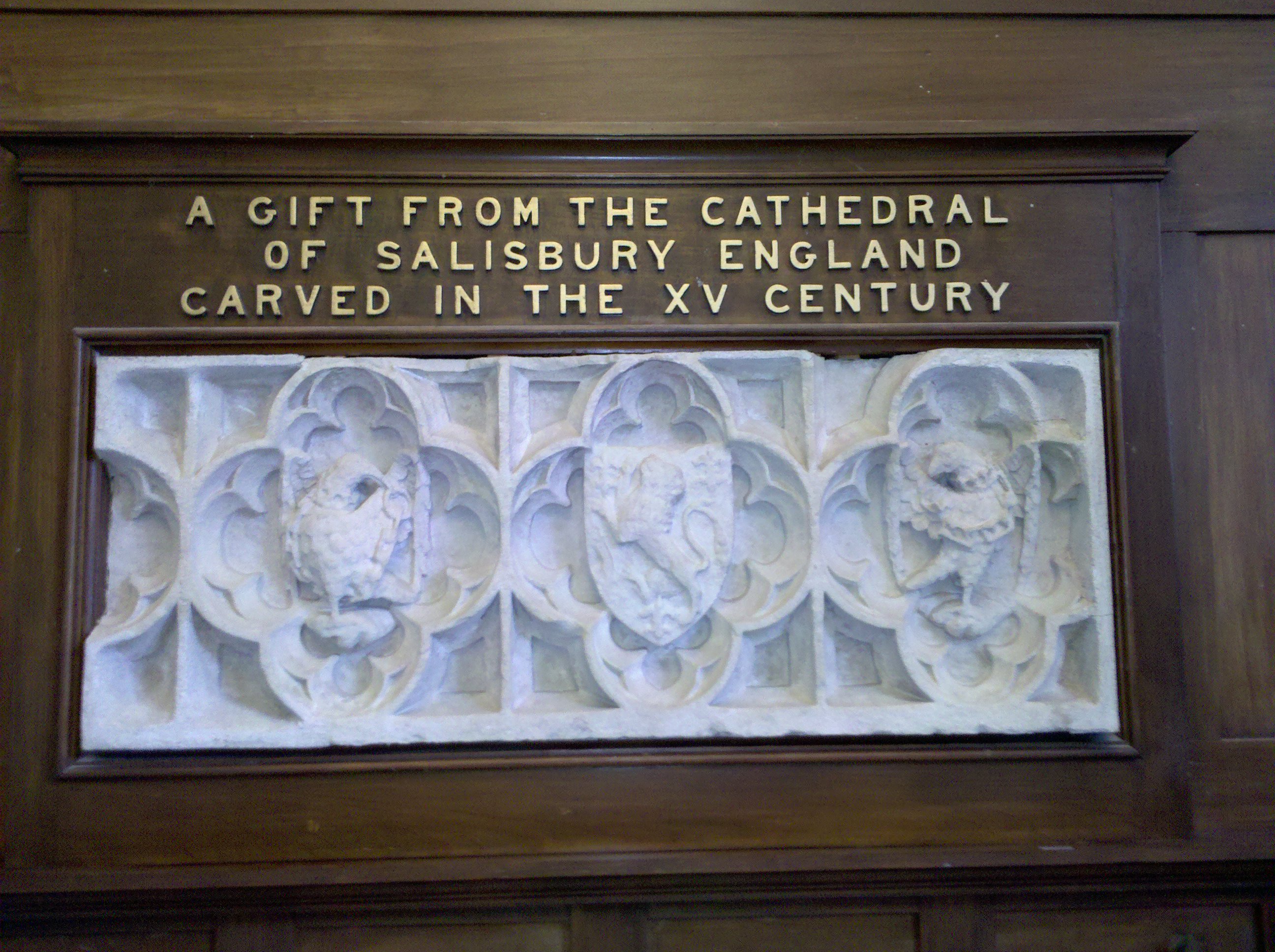
| 1498.5 | U.S. 44 (700')Salisbury, Conn. 06088 Lakeville, Conn. | 700 |